Good Friday to one and all. It’s a day of big time change as a powerful cold front sweeps across the state. This is bringing gusty winds, rain and a major temp crash. The end result is a super-duper cold weekend that may feature a few flakes.
Temps today start in the 50s with widespread showers and gusty winds topping 40mph for many. Once the front moves through, temps tank quickly into the upper 30s and low 40s behind the front as the showers quickly shutoff.
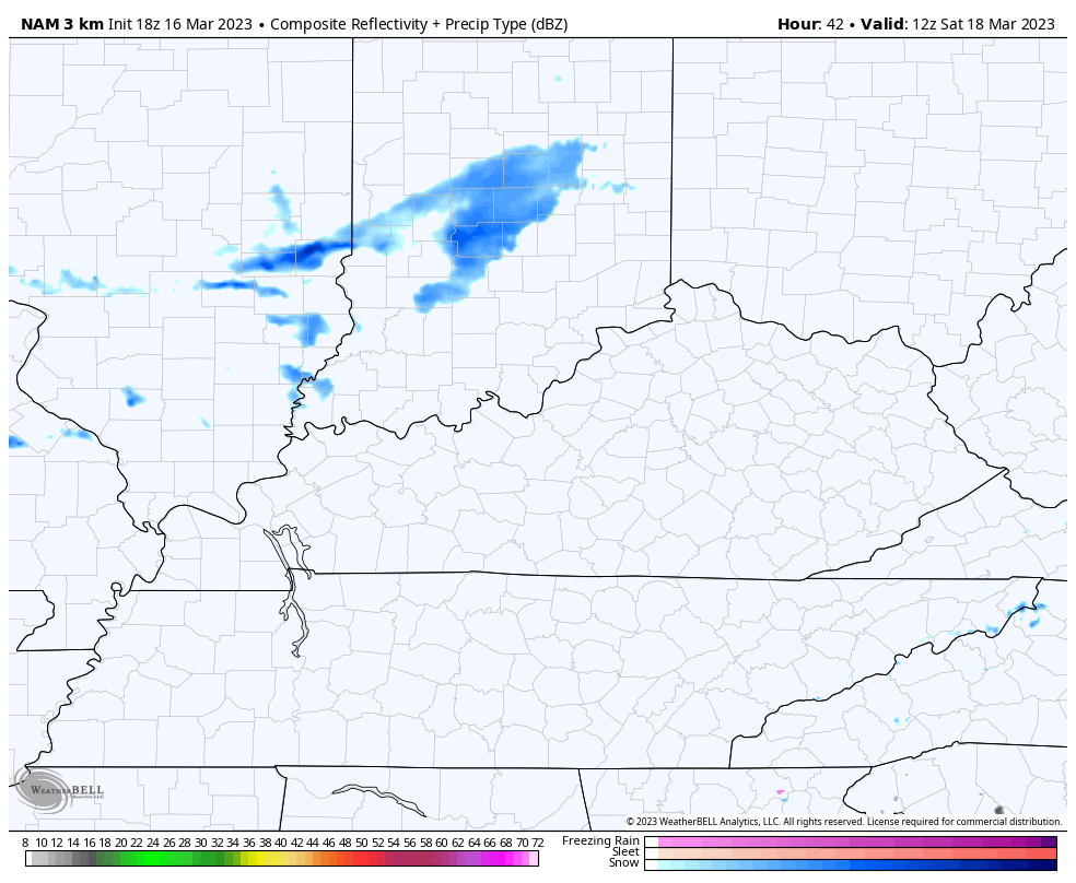
Here are your radars to follow the rain across Kentucky…

Saturday is a windy and cold day as another front crosses the state from the northwest. This may have a band of flurries or light snow showers with it…
This unleashes a bitterly cold March night with temps dropping deep into the teens for many areas. Lows by Sunday morning may reach the low and middle teens for a few spots. Wind chills will be even colder.
Sunday is a sunny day with highs only in the 30s.
The cold lingers into early next week before milder winds blow from the southwest by late Wednesday and Thursday. That may boost temps way up for a day or two…
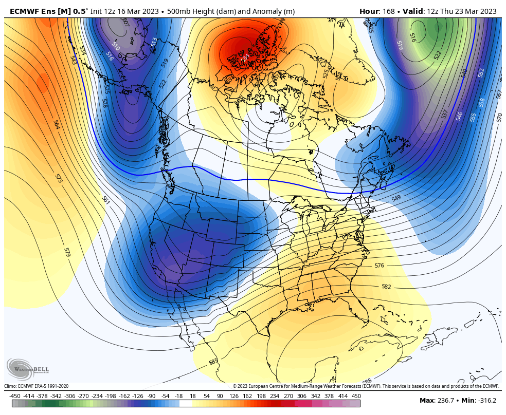
That’s with a ridge of high pressure that’s still forecast to get pushed away by another deep trough working through for the final week of March…
Enjoy your Friday and take care.

Thanks Chris, This weather type always happens when you don’t receive any Winter weather during the Winter months ( DJF. ) Everyone be patient as Spring weather will happen after Easter,