Good evening, folks. We’re putting the wraps on a very ugly day in the Commonwealth, but warmer air is pressing in from the southwest. This is ahead of a potent setup that will bring the chance for strong storms and heavy rain to the region.
Leftover drizzle and isolated showers continue into the evening, but this stuff is slowing down. Your radars are tracking whatever is out there…
Winds are gusty tonight and Thursday and may reach 40mph at times. Temps rise all night and top out into the 70s for many on Thursday.
I have no changes to my ideas on the late week setup. A cold front drops in and slows down for Friday with waves of heavy rain producing showers and storms along it. Some of those storms may be strong or even severe.
Low pressure then works into the region Friday night and early Saturday, bringing additional strong to severe storms with it. Heavy rainfall is once again possible…
The greatest threat for high water issues continues to be across the west and north. I’ve got no changes to the map I made yesterday…
![]()
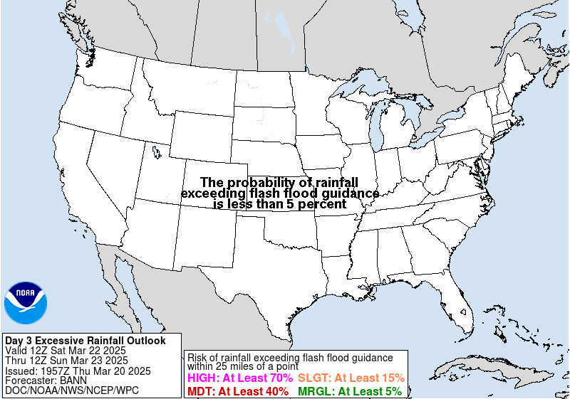
The Weather Prediction Center’s Excessive Rainfall map looks similar…

A FLOOD WATCH is now out for many of these same areas…
The initial threat for severe storms on Friday is across the west and sneaks into central Kentucky…

That threat will then focus farther east Friday night and Saturday morning. Damaging wind is the main threat.
Enjoy the rest of the day and take care.
