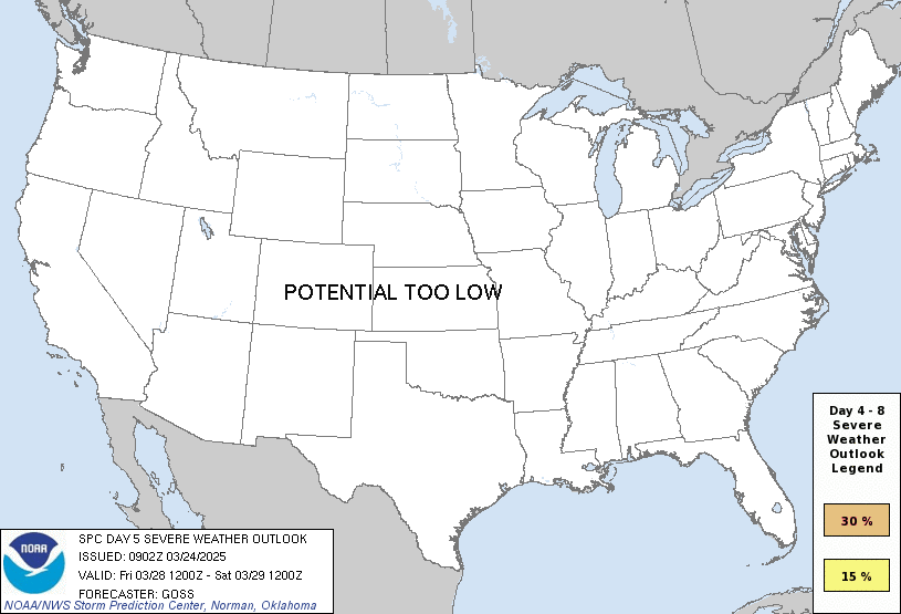
Good afternoon, everyone. We continue to track some chillier air into the region over the next few days, but the focus of the forecast is on another potent storm system coming in for Friday and Saturday. These two days look very active with the threat for severe storms and high winds.
The Storm Prediction Center is already highlighting this region with an increased risk for severe weather on Friday…

That kind of outlook on a Day 5 map shows an increased confidence of severe weather developing.
Check out our potent low that develops in the Plains States and rolls into the Great Lakes and Ohio Valley…
In addition to the severe weather threat, high winds will once again be possible. The GFS continues to show widespread 5omph-60mph wind gusts with locally higher amounts…
Chilly winds come in behind that for Sunday, but another big temp surge comes in here early next week. Things may get really warm and even humid as we get set for the next big storm system to move in…
That brings another severe weather threat to our region.
Each of the two storm systems coming at us over the next week or so will also bring heavy rainfall. The models are spitting out some hefty totals…
GFS
CANADIAN
I’ll see you guys again for the full update later tonight. Enjoy the rest of your day and take care.
Oh my, as someone who lives in an area prone to flooding (Wayne County, WV), I’m not a huge fan of that Canadian. For us or anyone in KY. That looks like it could make things real ugly real quick.
I do not like what I am seeing for Friday…
It would not surprise me to see western and most of central Kentucky under an Enhanced threat for severe weather. A strong mid-level jet stream is forecasted during the period, which combined with the flow from the surface low will increase the likelihood of shear. Supercell development will be likely, especially in the warm sector ahead of the cold front. After several years with minimal severe activity in Spring, the tables have been reversed!
The effects of ENSO / La Nina are still present and it may be phasing into neutral, but it’s still controlling our atmosphere.
The Chicago area received the first severe thunderstorms of the Spring season Sunday afternoon, as strong storms with numerous hail reports moved quickly through the SW and South Suburbs between 3 – 5 PM.
Here is the link for the summary: https://weather.gov/lot/2023_03_27_SevereStorms
The Chicago area is very close to the area of the highest likelihood of severe weather on Friday just like Kentucky is. Like Joe said, a large area could be under at least an enhanced risk of severe weather as Friday approaches.
Thanks for sharing Mike. That’s a lot of hail reports in your area. Hope there wasn’t too much damage to roofs.
Looks like a Tornado Outbreak to our west for Friday ? Hopefully it will weaken some before it reaches Kentucky as the previous storms did from past weeks ? Glad I have a full basement to go to if a Tornado is spotted in my area.
The forecast models I’ve reviewed have been showing the Low taking a path across northern Kentucky, which means that South West and South Central Kentucky will be in the warm sector, increasing the risk for severe storm development in the form of supercells or squall line segments. Depending on how tight the Low winds up, we could also see the NWS issue another high wind warning, but word on that won’t come until later this week.
It happened before this year ( high wind warning ) it could happen again. We are still in the same potentially dangerous weather pattern.
What is up with all this high wind?
If the low pressure takes a path through northern Kentucky. It may prompt the NWS to issue a high wind warning for a second time this year. Lets hope this doesn’t happen.