Good evening, folks. We continue to focus on a forecast that includes two big storm systems over the next week and change. The first brings a severe threat and and high winds Friday and Saturday. The second system may do the same early next week.
Before we get into all that, we have a shower or two on the move this evening. This stuff is scattered across central and eastern Kentucky…
I have no changes to my thoughts on the setup for Friday and Saturday. Strong to severe storms and high winds will threaten our part of the world. The Storm Prediction Center continues to be aggressive with the Severe Weather Outlook for Friday…

This is similar to the map I made yesterday…
I’ve opened the risk a little farther east to account for the post severe storms high winds. Those winds for Saturday may reach 50mph-60mph without thunderstorms.
Here’s the GFS with this whole setup…
Widespread high winds are likely from the Plains States to the East Coast…
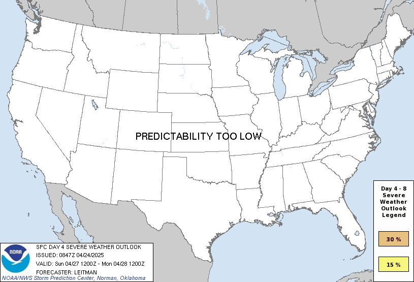
The setup early next week looks warm and a bit humid and that’s likely to spell waves of strong to severe storms…
Buckle up, folks.
Enjoy the evening and take care.

That Friday evening surface low seems to have a sharp pressure gradient, so in addition to the likelihood of severe storms, we could be looking at another High Wind Warning possibility!
I wish we could be on the calm, Snowy side of the low pressure. When we have the change in the Pacific to a more positive phase that will happen.
At 2:00 am. this Saturday the wind gust is forecast to be around 53 mph. here in Maple. I got this information off the Ventusky Weather Site. Hoping this doesn’t pan out. I hate being knocked out of bed that early in the morning.