Good Monday to one and all. The first full week of April is off and it’s feeling more like the middle and end of May. Warm temps are surging in today and will hang around through the middle of the week. This warm air will bring the return of thunderstorms with the chance for a few severe storms with us again.
Temps out there today reach 70-75 for most of the state with a mix of sun and clouds. There’s a low-end risk for a storm or two in the north and west, but most stay dry.
Here are your radars to follow whatever shows up…

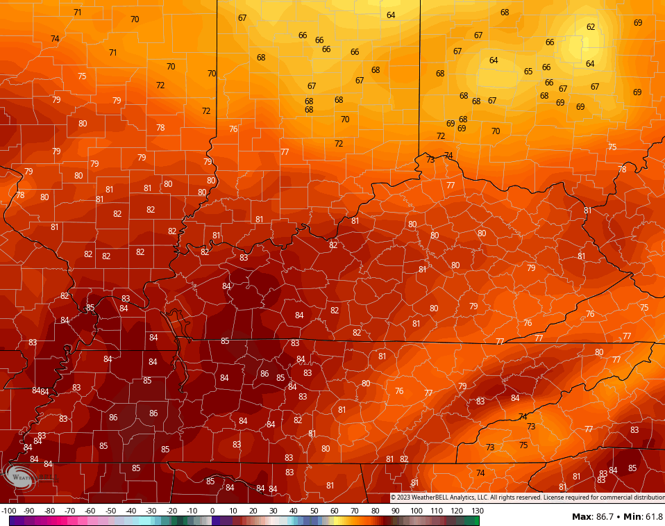
Highs for Tuesday hit 80-85 on a gusty southwest wind. Look at how much real estate will be seeing these warm numbers…
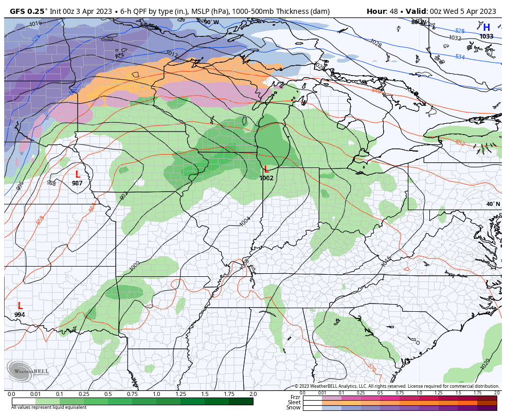
A big storm system develops to our west and heads toward the Great Lakes by Wednesday. This brings the greatest threat for severe storms to our west on Tuesday, but there’s a low-end risk for severe storms in the west…

The whole setup moves farther east for Wednesday and could bring strong and severe storms to the rest of the region. Here’s the area the Storm Prediction Center is highlighting for severe weather on Wednesday…

Temps on Wednesday are deep into the 70s and may reach 80 again in the east. Once the showers and storms roll through, the numbers drop quickly with temps into the 50s for Thursday. Here’s a look at our system rolling in here…
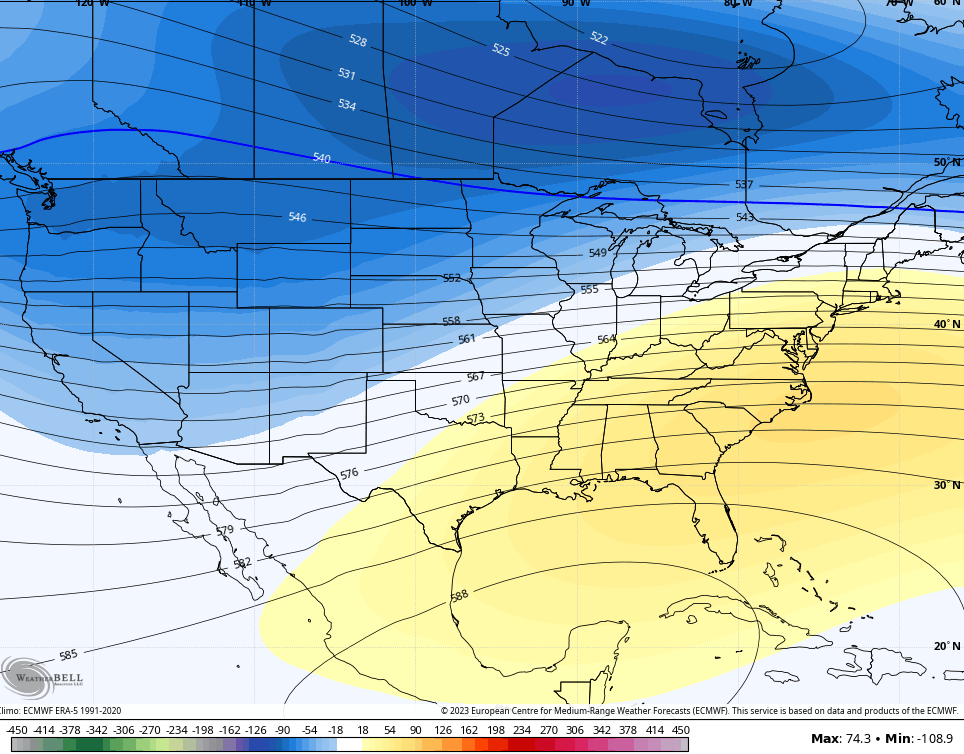
Temps come up to near normal for Easter Weekend in what may wind up being a pretty good weather weekend. The models continue to advertise a cold shot early next week, but they have backed off the intensity…
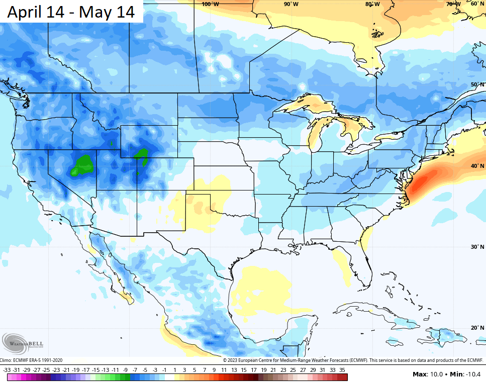
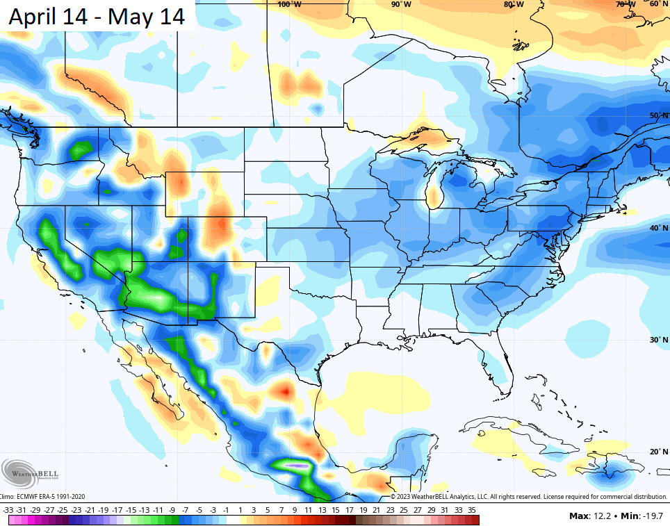
Looking longer down the weather road, we find the models continuing to show a slightly cooler than normal pattern through the middle of May…
EURO WEEKLIES
CFS
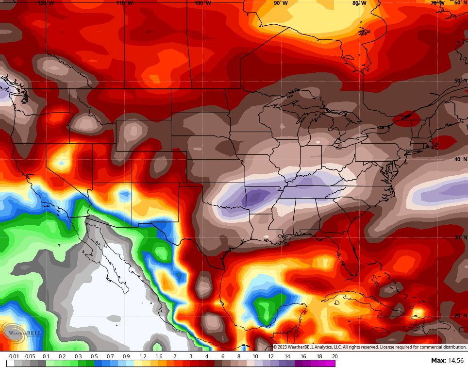
The same CFS model is showing a continuation of the very stormy setup in our region…
I’ll throw you another update later today. Make it a good one and take care.

Thanks Chris. Liking the cool, but not the Storms that seem to continue there weekly appearance.
their not there
bailey boy no mention of keeneland from you yet. daily top play posted daily during meet.
redneck bunker handicapping on facebook is my page.