Good Thursday, folks. We are rolling toward Kentucky Derby weekend with an increasing threat for rain and a few storms rolling into Kentucky. This may cause a few issues to start the big weekend as much warmer air spills in for the rest of the weekend and into next week.
Let’s begin with what’s going on out there today. Temps are in the middle and upper 30s with a kiss of frost in central and eastern Kentucky. By the afternoon, the numbers climb into the 65-70 degree range for many.
The system coming in for Kentucky Oaks Day Friday continues to mostly target western and southern Kentucky with a fairly sharp cutoff on the northern edge of the shower and thunderstorm shield.
The Future Radar from the Hi Res NAM looks from 7am Friday through 7am Saturday shows the fine line we are walking in Louisville…
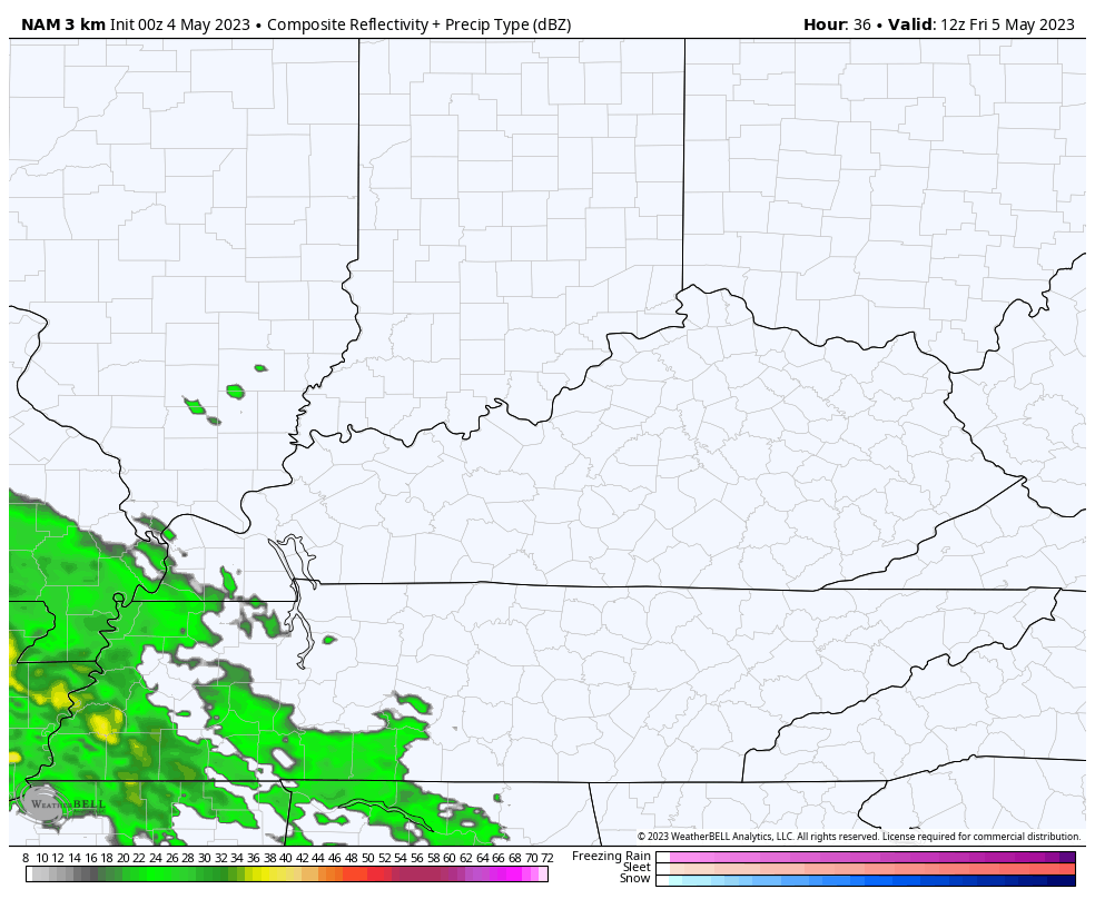
Again, if you’re going to Churchill Downs on Oaks Day, take the poncho to be safe. You may have to break it out later in the day.
Temps on Friday should reach the low 70s for areas outside the main rain shield.
Scattered showers and a rumble of thunder are possible to start Kentucky Derby Saturday, especially across the south, but skies improve throughout the day. Highs should reach the low 70s in most areas.
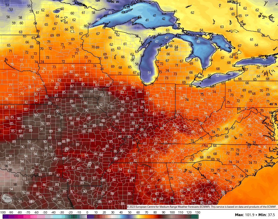
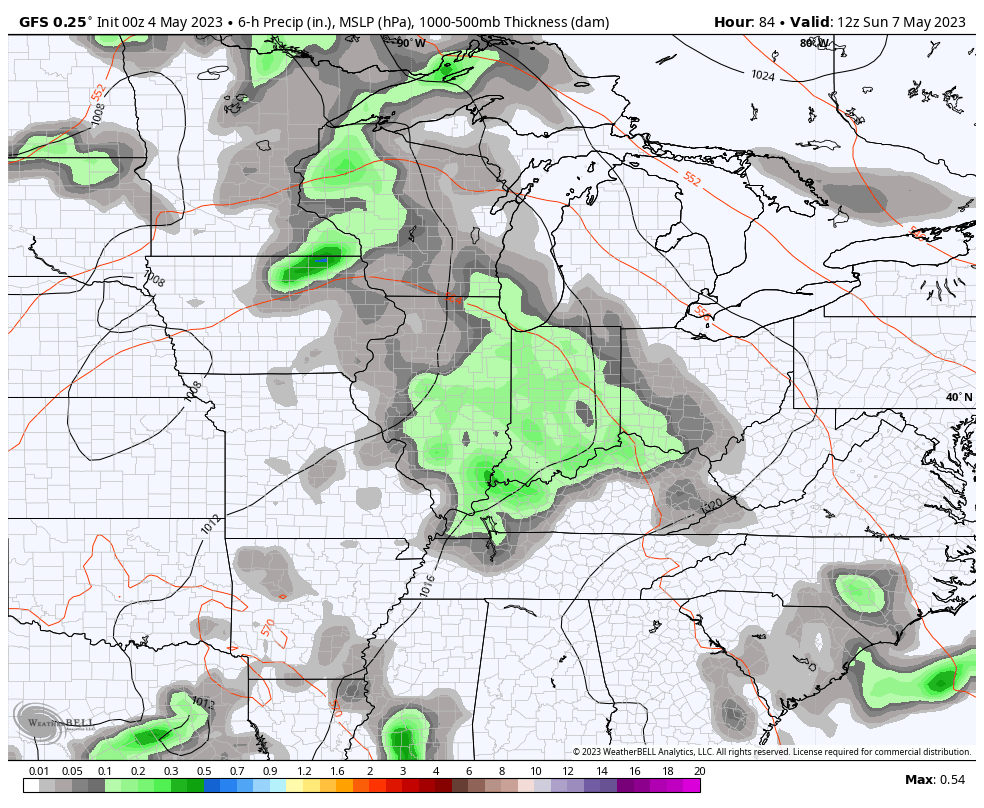
Temps REALLY take off Sunday into next week and may reach the low 80s as early as Sunday or Monday…
That should come with a few waves of thunderstorms getting into the mix during this same time…
What? You mean it may finally start to look and act the part of May?

Have a great Thursday and take care.

I’ll take a few boomers for warmer weather. 🙂
Here in Louisville the weather was perfect yesterday.
I was outside in my shorts pants & short sleeve shirt.
In my book it was a top ten day.
Today is a beautiful day, but my county as well as the surrounding areas need RAIN !!!