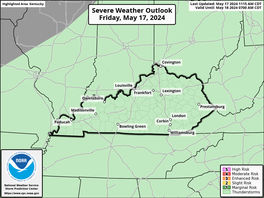
Good Saturday to one and all. We continue to track a few rounds of showers and storms out there today and we have more in the tank for Mother’s Day. Some of these storms may be strong or severe but this isn’t washout material.
Let’s break it down:
- Today is a warm and muggy day. Highs range from the middle 70s to low 80s with humidity making it feel a bit toastier than that.
- Scattered thunderstorms will be noted today and a few could be on the strong side. You get lots of dry times, too.
- The threat for severe storms looks to increase on Mother’s Day as we watch the northwestern sky. Clusters of strong storms will be diving into the state and some could go severe.
- Damaging wind and large hail will be the main players.
- Once again, it’s NOT all day rains for momma.
- That said, any storm that goes up this weekend can put down enough water to produce local flash flooding issues.
The threat for severe storms today is low and the Storm Prediction Center has areas of the west in that low-end risk…

The threat increases on Sunday with a Marginal Risk to Slight Risk across the region…

Here are the individual threats we’re facing for Sunday…


The cold front blows through here on Monday with cooler than normal temps coming in behind it. Normals are now in the mid and upper 70s so cooler than normal can still be pleasant enough for this time of year.
Another strong cold front moves in here by the end of next week and has the early look of a big thunderstorm producer…
GFS
EURO
Another blast of cooler than normal air will drop in behind that system.
I will drop by as needed. Until then, here are your tracking tools for the day…
Possible Watch Areas
Have a great Saturday and take care.


Plesant is good enough for me.
Thanks Chris. Not too concerned about severe weather in my area. Temperatures are about right for this time of the year. Hoping it continues through the Summer without extreme dry periods.
I see nothing here to complain about.
I prefer below normal temps between mid May—–end of September.