Good Tuesday, everyone. We have the threat for severe storms across the southern half of Kentucky today as a storm system rolls in. This is a setup that can also spit out some pretty hefty rain totals before all is said and done.
Let’s focus on today’s severe threat:
- A few thunderstorms rumble through this morning and some could be strong.
- Low pressure rolls eastward across the state this afternoon and evening. The severe threat will be along and south of this low and associated warm front.
- This threat should show up south of Interstate 64 this afternoon and early evening. Storms should be out of the southeast by 7 or 8 this evening.
- Damaging winds and large hail are the primary severe weather players.
- Storms across the south and southeast may try to spin from time to time. That brings a low-end tornado risk.
- There’s also a low-end threat for flash flooding as the storms move through.
This is the area I’m highlighting for the greatest severe weather threat today…
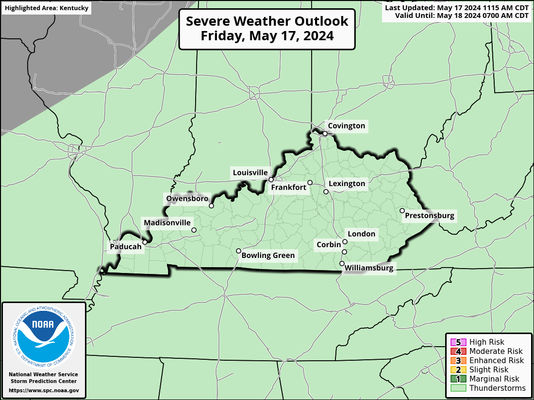
Here’s today’s Severe Weather Outlook from the Storm Prediction Center…

Here’s the breakdown of the individual severe weather threats we are facing today…


Wednesday and Thursday look really good with cool mornings and pleasant afternoons.
The next system rolls in with some showers and thunderstorms late Friday into Saturday. Once again, we have some timing issues between the GFS and Euro. The GFS is the fastest getting this front in and out of town…
The EURO is a little slower…
I will have the latest on WKYT-TV as needed through the day. As always, I have you all set to track today’s severe weather risk…
Possible Watch Areas
Make it a terrific Tuesday and take care.


Thanks Chris. I’m hoping we receive the much needed rains today without the severe weather component. Tomorrow and Thursday’s forecast sounds delightful for any outdoor activity.
great breakdown today considering you really mucked up the Derby weekend and following weekend forecast
I mean your forecast was really off
Lies
Picked up 1.15 inches of rain when a borderline severe storm blew by my PWS near Bowling Green. Interesting to note that the NWS declared the Severe Thunderstorm Warning in the BG area, within minutes of the storm’s arrival!