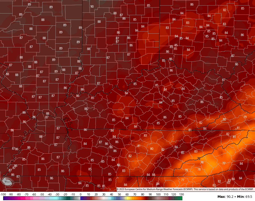
Good Thursday, everyone. It’s another mainly nice weather day across Kentucky, but we do have a cold front ready to crash in to start the upcoming weekend. This will bring some showers and storms in here before better weather settles in for a lengthy run.
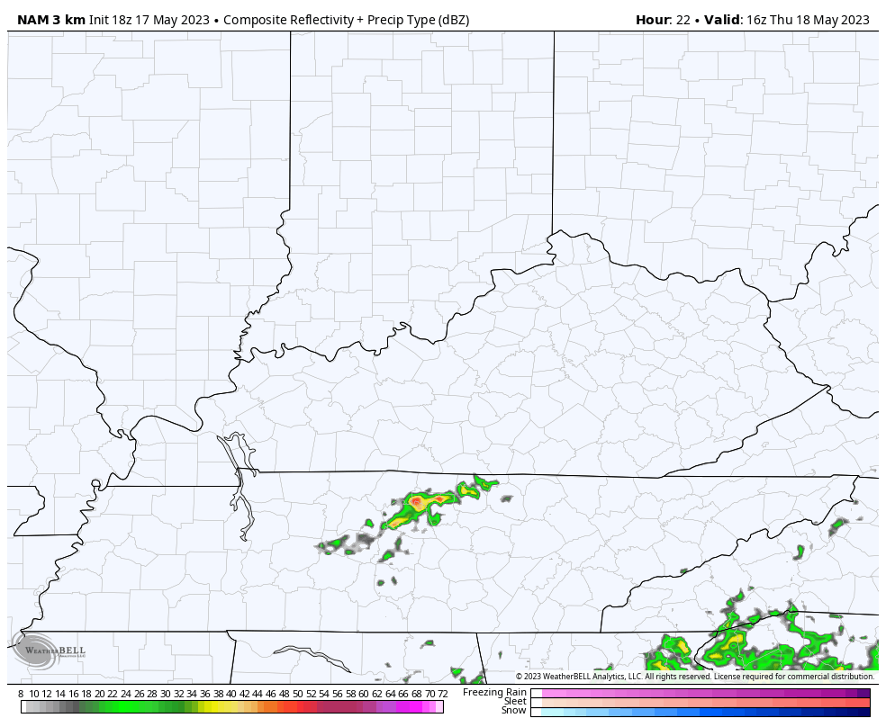
Let’s start with today and roll forward. Highs are generally 75-80 in most areas with a mix of sun and clouds. Moisture starts to filter back in from the south by late this afternoon into the evening. This may spawn a couple of showers and thunderstorms. The Future Radar from the Hi Res NAM shows this…
Your real-time radars are on duty to follow what’s out there today…

Friday is a mostly dry day with just some isolated storms during the day. Those showers and storms increase by Friday night and early Saturday as a cold front sweeps eastward across the state…
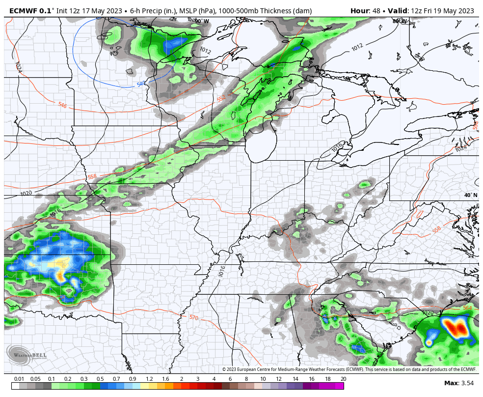
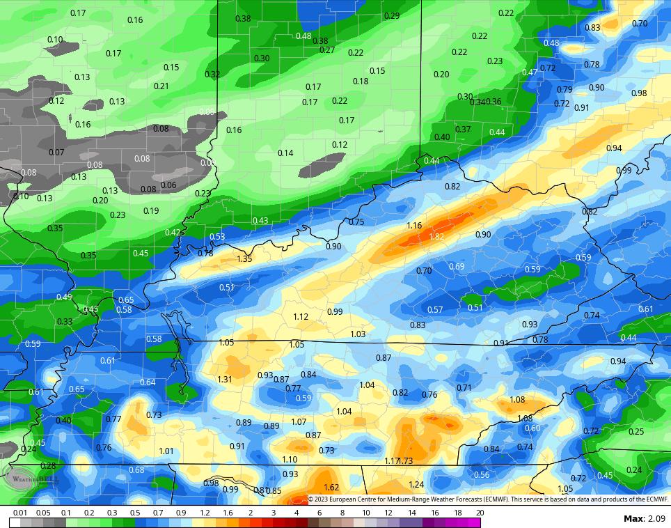
Rainfall totals from this system may hit an inch in a few spots. The EURO has the highest totals among the all the forecast models…
If you have outdoor plans on Saturday, things do improve from west to east as the day wears on. Temps may struggle to get past the upper 60s and low 70s, though.
Sunday starts very cool but ends with temps hitting 70-75 in most areas.
The setup for next week will feature a cutoff low spinning somwhere in the south or southeast. The farther away this can get from us, the warmer our temps can get…
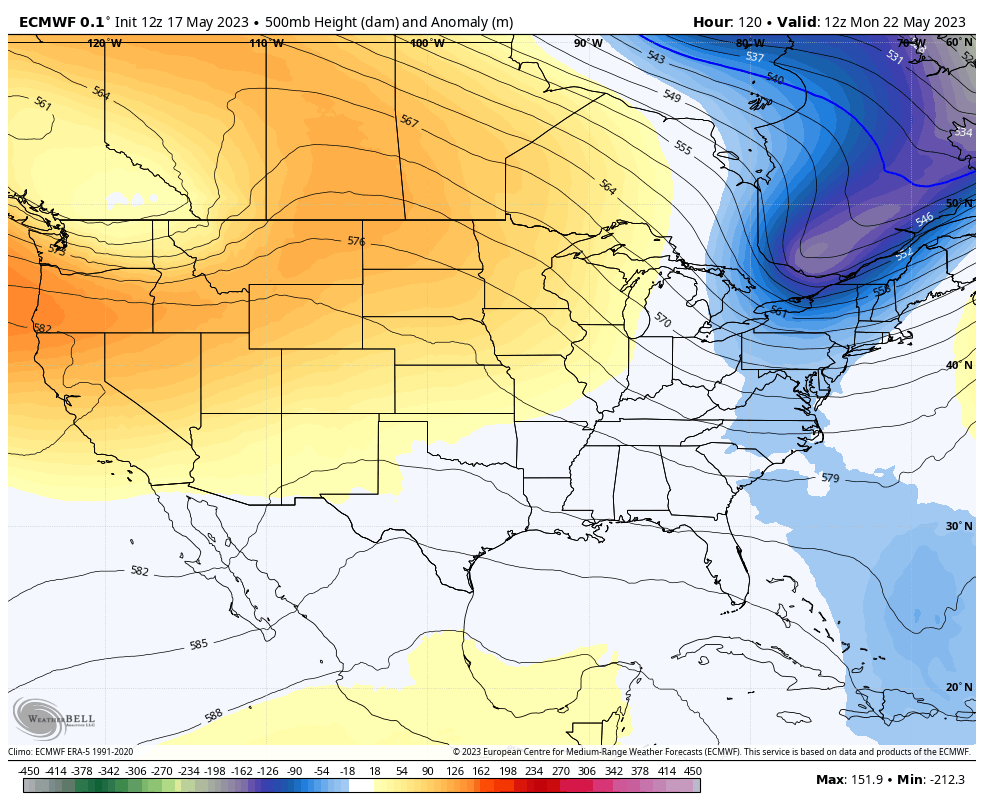
The models are turning things pretty toasty for the second half of next week…
Can we keep that rolling into Memorial Day Weekend? We shall see.
Make it a great Thursday and take care.

Thanks Chris not a bad forecast. It seems like by Memorial Day it usually is pretty warm.
More and more each day it’s slowly transferring over to Summer weather. Next week’s forecast calls for temperatures in the mid eighties and dry. A ‘ blowtorch Summer ‘ on the horizon ??? Any widespread precipitation is not in the local forecast for next several days.