Good Wednesday to one and all. It’s another really nice and warm day across the Commonwealth but changes are about to blow in. Temps come down for Thursday as we focus on the forecast for the big holiday weekend ahead of us.
Temps out there today reach 80-85 degrees for most of the state. Winds will gust up ahead of a cold front dropping in from the north and northeast. There’s an outside shot for a shower or storm going up at some point today. Just in case, I have your radars ready to roll…

Temps for Thursday are down into the upper 60s and low 70s for many with a partly sunny sky.
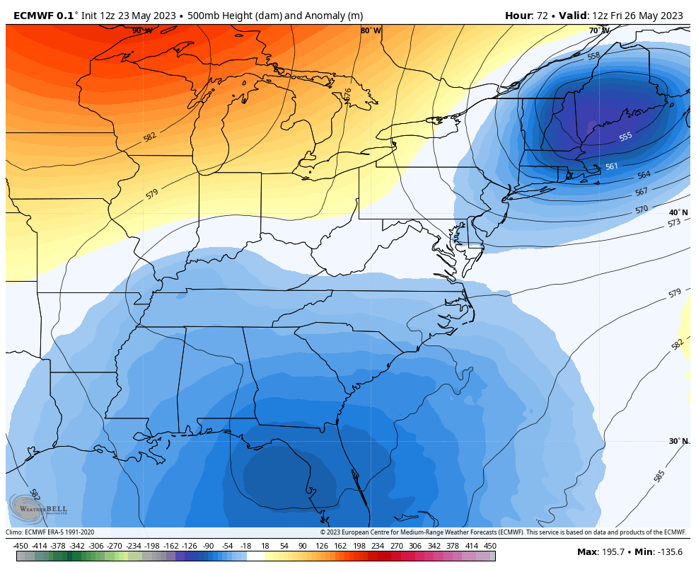
The big upper low spinning across the southeast will slowly meander its way to the north and northwest in the coming days. Figuring our the exact movement of this thing is a work in progress as these systems have a mind of their own.
Here’s the latest look from the EURO…
That model brings a shower or storm in here over the weekend, especially across the east…
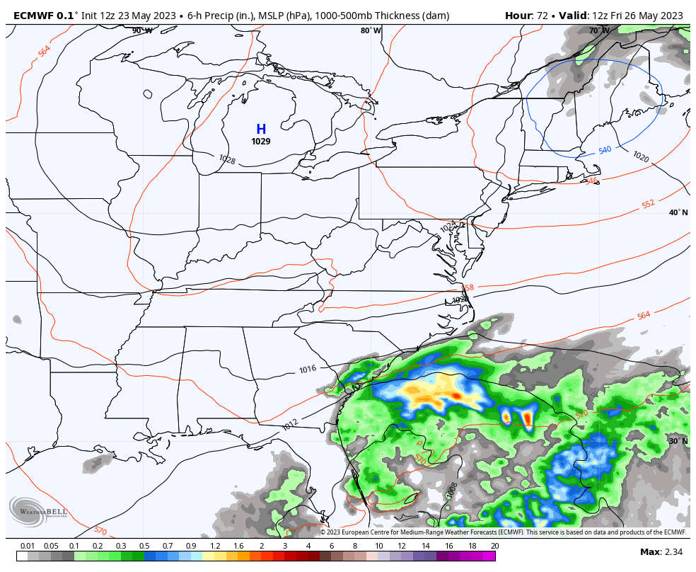
With the weather going in reverse, we have to watch the east and southeast for any weekend rain showing up.
Again, this does not look like a washout by any means, but have that backup plan to safe.
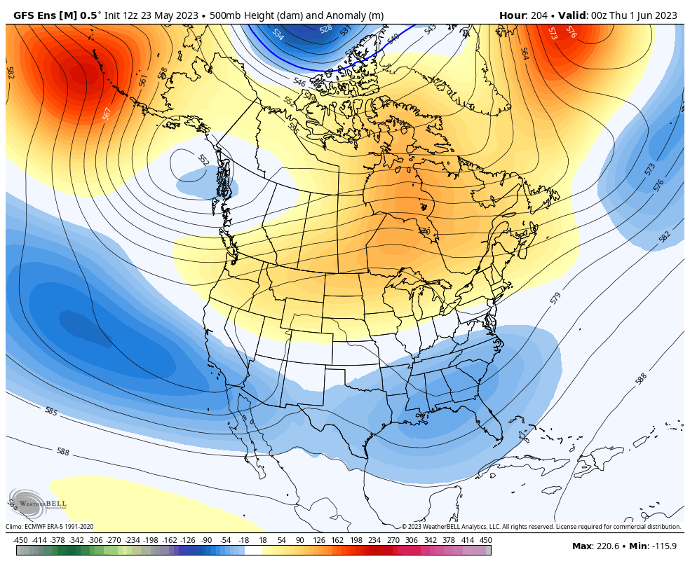
The longer range look from the ensembles continues to put another trough into the eastern part of the country. This is the look for the first week of June…
GFS ENSEMBLES
EURO ENSEMBLES
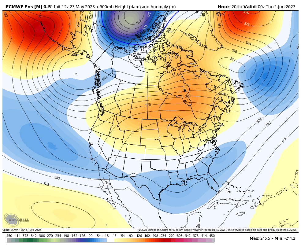
That would bring cooler than normal numbers back in here after a spike in temps. It’s also a pattern that looks fairly dry.
Make it a wonderful Wednesday and take care.

Cool and dry is a bit unusual in Summer, no?
I have not seen too many cool Summers. The exception was in 1968 at our Family’s Fourth of July picnic everyone was wearing sweaters.
Has not been a bad Spring. Just a little on the dry side. Temperatures lately have been perfect both day and night.
Looks like it might be pleasant temperatures for Memorial Day.