Good Thursday, folks. We have a weak cold front sliding into the region later today and this will bring another shot of cooler temps to start the upcoming weekend. Beyond that, the focus of the forecast is on one more big upper level system set to impact our weather.
Temps out there today are generally in the 80-85 degree range for many. There’s even the slight chance for a shower or storm to go up at some point. Here are your radars to follow along with…

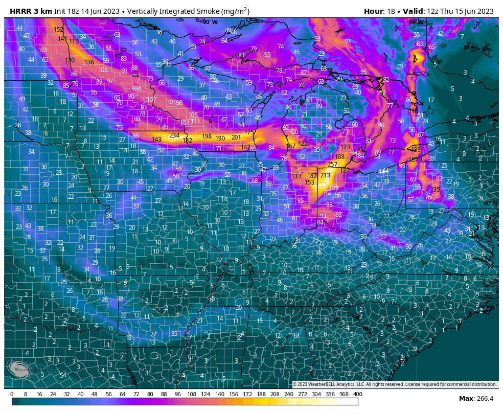
There’s also a little more smoke in the sky coming from those Canadian wildfires that continue to burn. This smoke is coming from the northwest and looks to hang around through the start of the weekend…
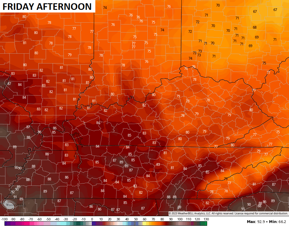
There’s a lingering shower or storm chance into Friday as a cold front drops through here. Temps are very pleasant behind this with some of us staying in the upper 70s once again…
Saturday may start with a few numbers in the upper 40s and low 50s in the east with 80-85 coming up during the afternoon.
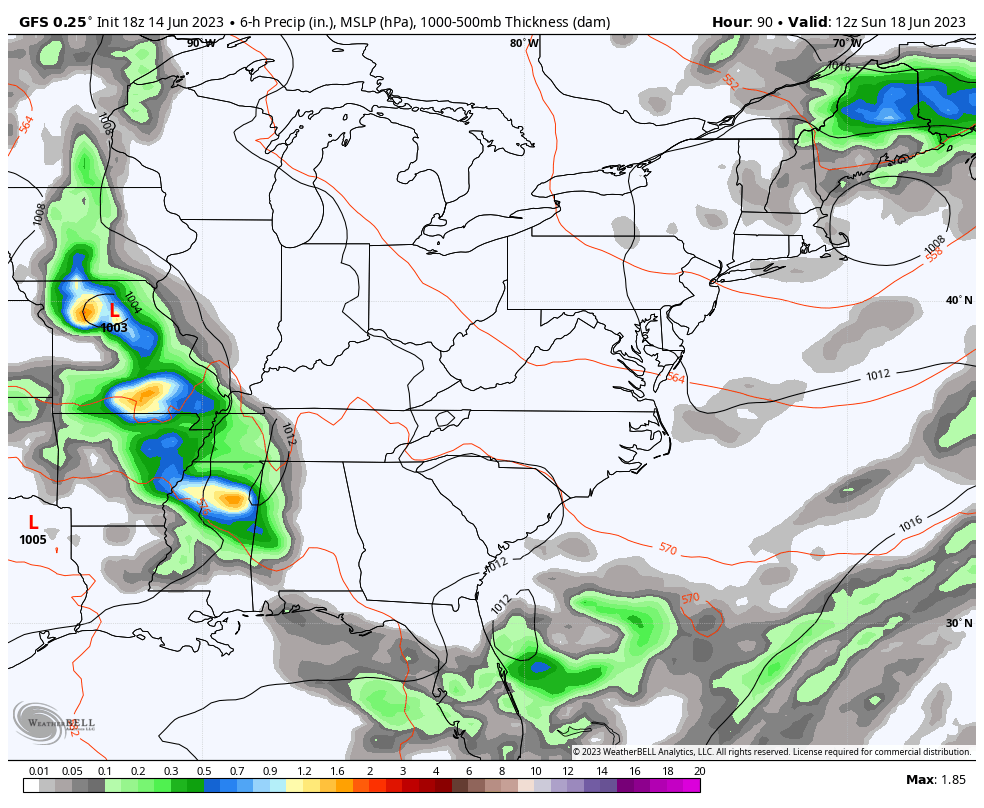
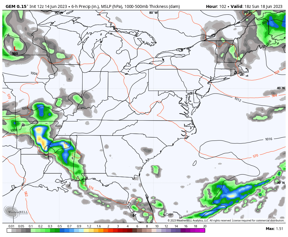
From here, we watch another bowling ball upper level low spinning into the region and becoming cut off from the main flow for much of next week…
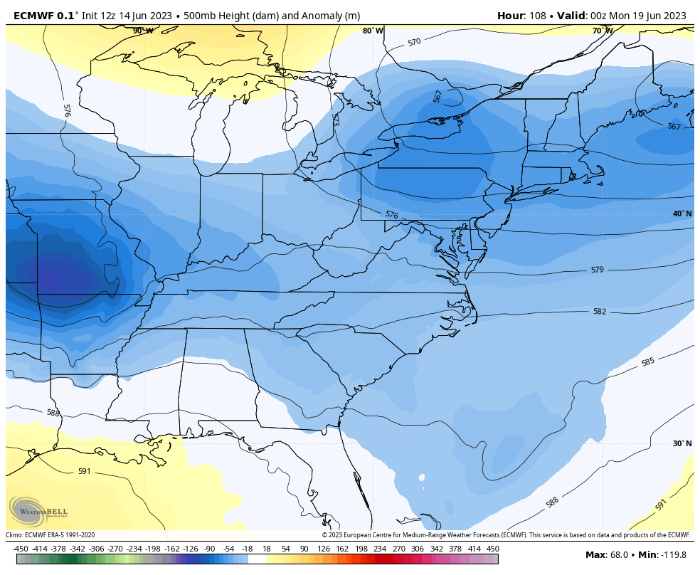
A setup like that would mean rounds of showers and thunderstorms for our region, some of the storms on the leading edge of this late Sunday and Monday could even be strong or severe. The EURO has a prolonged period of rain and storms next week…
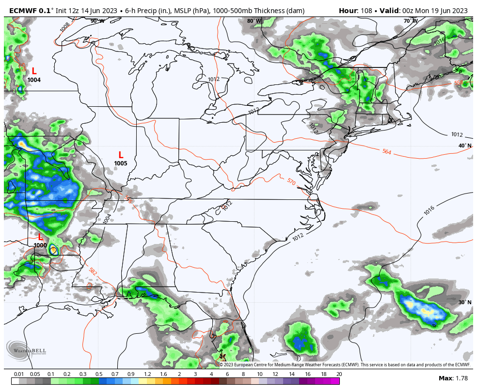
So does the GFS…
The Canadian is very similar…
Of course, all of that will continue to keep our temps averaging cooler than normal. Sensing a theme here?
In the coming days, I’m going to be looking deeper into the year and even take a super-duper early look at winter.
Make it a great day and take care.

Another terrific forecast.
Boring weather but at least it’s not hot.
Lots of Tornado / Wind and Hail reports coming out of the deep South this morning. With this energy to our South, it’s only going to delay any beneficial Rainfall for our area. The cold front, or more of a lower dewpoint front will be moisture starved.
Great, more Smoke pollution from our neighbors to the North. I would really like more information on this ongoing situation. Something needs to be said. I know we are in a Northerly flow bringing in the Smoke pollution aloft. Maybe when this Omega Block breaks down we will return to our usual Summer weather without the Smoke pollution.
Way too early for Fall and Winter discussion in my opinion. Waiting on the latest updates on ENSO and whether the PDO goes into the positive phase. I might add that very little change has occurred over the past several weeks in the Pacific.
Here’s the latest link on the Wildfires in Canada. Amounts to more BS.
https://disasterphilanthropy.org/disasters/2023-north-american-wildfires/?gclid=Cj0KCQjw7aqkBhDPARIsAKGa0oLzGmLZ-UWZ370hOLd8wgq2mleRqCyqsheXM2AAqprD8YUXA7RSM6YaAkrqEALw_wcB
There is no theme. Heat will soon dominate.
Yes, there is no theme. The weather is always changing, and there’s no ” Climate Change ” only Climate cycles of the Earth. The term ” Climate Change ” is weaponized as a Political tool in my opinion.