Good evening, folks. I wanted to drop by for a quick update on the late week and weekend setup as more round of strong to severe storms are on the way. This severe threat is on the leading edge of some serious heat that gets into parts of western Kentucky.
I’m highlighting the Thursday through Sunday time frame for these rounds of storms…

Here’s the area likely to see the waves of storms…
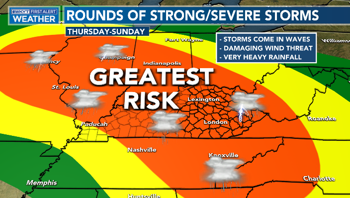
The Storm Prediction Center already has a low-end risk for Thursday…

That may get upgraded and expanded before all is said and done.
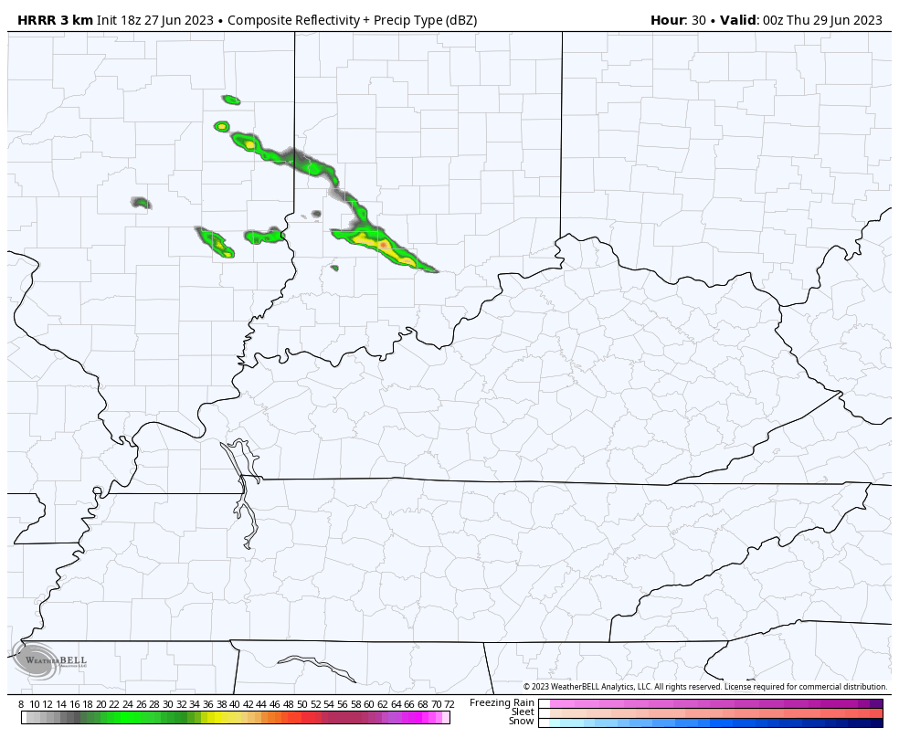
The Future Radar from the HRRR is targeting areas of western and central Kentucky with the first round of strong and severe storms early Thursday…
Enjoy the evening and take care.
