Good evening, folks. We continue to track a ton of smoke across the region, but the focus going forward is on the severe weather potential ahead. Rounds of strong to severe storms will rumble across the region over the next several days.
We are watching the northwestern sky for the first round of severe storms to develop and dive southward into Kentucky. Odds favor this arriving early Thursday with the potential for another round later in the day.
The best chance for severe weather is across central and western Kentucky on Thursday. The Storm Prediction Center is highlighting this area with the greatest potential on Thursday…
Damaging winds are a good bet with these storms. Here’s the Severe Wind Outlook…

Large hail is also a possibility…

There is a low-end tornado risk associated with these storms with the best potential across Illinois and Indiana and sneaking into far northwestern Kentucky…

Rounds of strong to severe storms will then fire up again on Friday and may focus a little farther east. That said, the SPC is likely way too conservative with this small area highlighted for Friday…

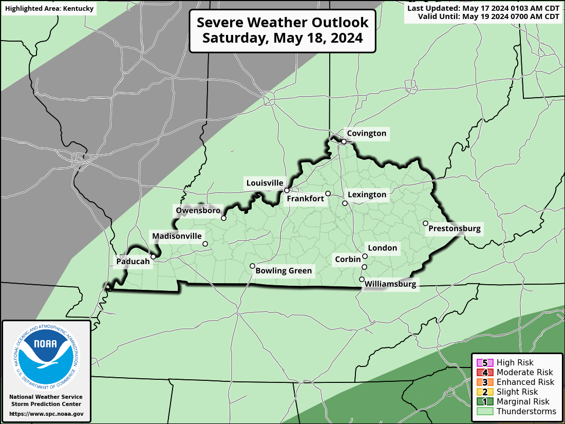
Storm clusters over the weekend may become more west-east oriented.
I leave you with your storm tracking tools to watch the action developing to the west…

Current watches

Possible Watch Areas

Have a great evening and take care.

The sky needs the rain more than the ground. LOL
We had over 2 inches of rain the other day, and now need more. Hoping it rains with all the short waves coming around the huge high pressure to our south. The extreme areas of SMOKE still remains a mystery.
Latest BS from the Left :
https://80000hours.org/problem-profiles/climate-change/?utm_source=google&utm_medium=cpc&utm_campaign=80KMAR-GrantsClimateChangeBroad&utm_content=63198432130&utm_term=causes%20of%20global%20warming&gclid=Cj0KCQjwtO-kBhDIARIsAL6LorcbQJzTHmUMXPKrE_49N-JO6rBoLV4aH2Zel9aPflb5g8dfVBneVAUaAq4oEALw_wcB