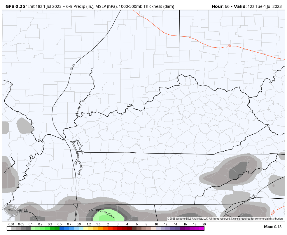
Good Sunday, everyone. It’s another day of tracking rounds of strong to severe thunderstorms, but this looks like the last day of the extended run of bad weather. The chance is there for the setup to go out with a bang before we calm it down just a bit for a few days.
Just like the past several days, we start the day off with a few rounds of strong and severe storms that can put down additional heavy rains. Skies will become partly sunny with tropical humidity firmly in place once again. As a cold front enters the picture from the northwest, we will see more rounds of strong to severe storms going up during the afternoon and evening.
These storms will impact areas farther east than what we’ve seen in recent days and this is reflected well in today’s Severe Weather Outlook from the Storm Prediction Center…

Here’s your daily breakdown of the individual threats for the day…
DAMAGING WIND

LARGE HAIL

TORNADO THREAT

As this front presses to the south later, drier and cooler air moves in for the 3rd of July. Temps are generally in the 80s with the chance for scattered showers and storms still around.
The forecast for the 4th of July is for normal temps and the chance for a shower or storm to fire up. The best chance comes during the afternoon and evening, but this continues to look fairly scattered…
Showers and storms then look to increase later Wednesday and Thursday as a fairly potent cold front drops in from the northwest…
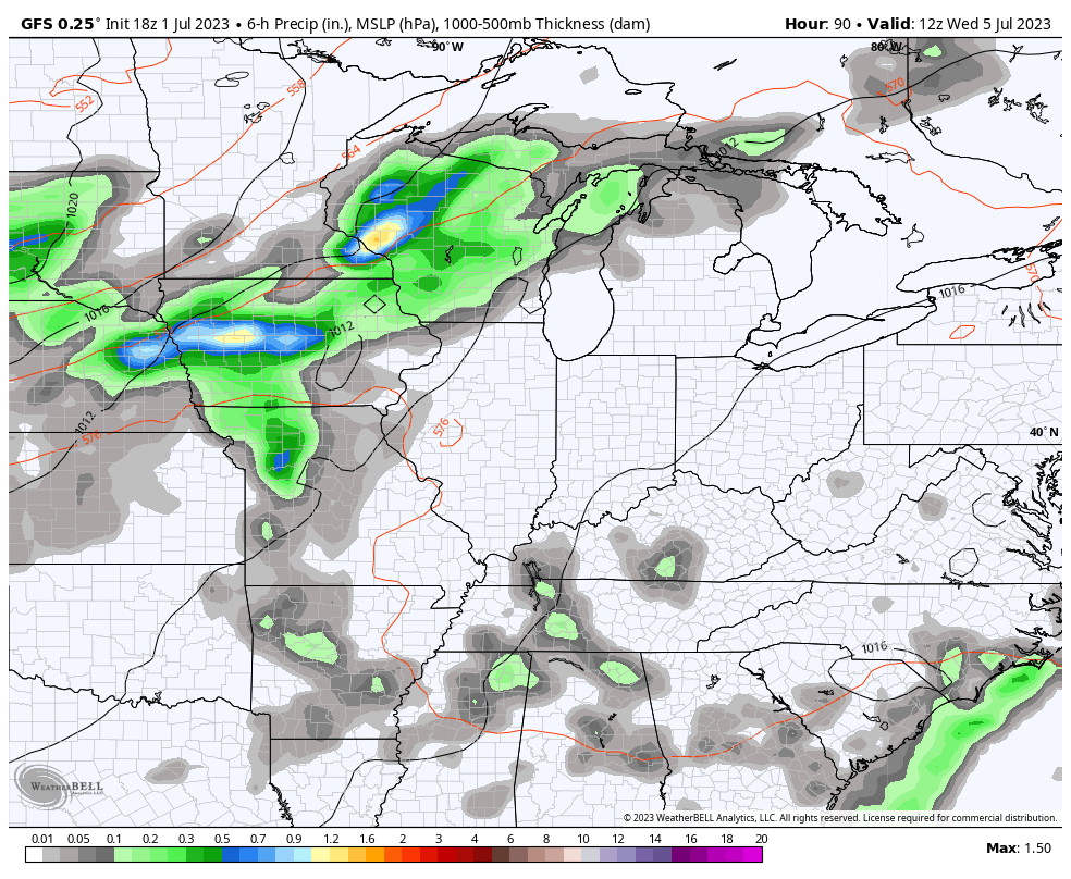
Don’t be surprised if we are dealing the threat for strong to severe storms again as that boundary presses through. This is ahead of another series of dips in the jet stream from late this week into the following week…

Folks, that takes us into the middle of July and would mean another round of temps coming in cooler than normal. Outside of the recent heat in western Kentucky, our summer is very, very tame in terms of temps.
I will update as needed and be on WKYT-TV as needed today. I leave you with your storm tracking tools…

Current watches

Possible Watch Areas

Have a great Sunday and take care.

It won’t be tame all summer.
Rainfall as measured at our PWS over the last 3 days (Friday, Saturday, and this morning) = 3.5”
I feel like the majority of the time we have thunderstorms is at night…Yes, sometimes we have them in the day but I feel like 99% of the time it’s a night. Thinking back on some events I remember…most of them have been at night. I do remember a few during the day. I hadn’t lived here but only a couple of years and I was at Woodhill shopping center. Thad had to be ONE OF the worst storms…I think it was a wet microburst.. I don’t know but it seemed like it went on forever and you couldn’t see anything…a white out of rain, lighting , hail…I was in a store and they had to hold the doors shut. Next day in the paper it said 5 inches of rain in 2 hours.. That one was during the day..
The worst and most severe thunderstorm I’ve ever experience was at noon time on June 8th 1982 in Vanderburgh County Indiana. The wind gust was clocked at 90 mph at the airport down the road from my home.
In early times, the worst hail storm I experience was in April 1960. The ground was covered in 4 inches of hail. In March 1960 we had more than two feet of Snow, also most recent we had about two feet of Snow in 2004 at Christmas.
That severe weather you experienced in 1982 sounds very similar to the powerful derecho that slammed through the Chicago Metro Area in August 2021 with 90+ MPH winds and widespread major damage and power outages.
I don’t know if it was a Derecho back on June 8th, 1982. All I heard at that time was a ” Bow Echo ” had formed just to the West of Evansville, Indiana. No matter what there was, a lot of widespread damage resulted in the areas affected.
Extremely good soaking Rains after a thunder and lightning show last night.
The rain just started here. Schroeder that snow sounds good lol. Mark you really got the rain didn’t you?
Yeah, I was just a youngster back in 1960, and had a lot of fun making Snowmen and Snow forts and Snowball fights after school. Those were the fun good old days.
Severe Thunderstorm Watch for all of South Central Kentucky, including Warren County. Severe storms are breaking out all along KY’s northern tier. Any storms that break out in the southern tier will juicy air to work with. Currently temp. 93°F, dewpoint 78°F, heat index 106.2°F
Line of broken storms are right along a surface front near the Ohio River moving northeast, but the overall motion is southeast. I have a current temperature of 88 degrees and a dewpoint in the low 70’s, so the potential is there for severe storms this evening. I hope this is it, as I can’t take another sleepless night.
A large, slow-moving area of showers and thunderstorms throughout the Chicago Metro Area this Sunday morning have prompted Flash Flood Warnings to be issued for Chicago and the W and SW Suburbs through this afternoon. Many areas have received between 3 to 5 inches of rain and flooded roadways, with rainfall rates of around 2 inches an hour.
In the SW Suburbs where I am, we had a downpour that lasted over two hours, but with very little thunder and lightning, and no wind. This will really make up for our large rainfall deficit we had for May and June.
The big NASCAR street race scheduled for downtown Chicago this afternoon could very well be postponed.
WOW !!! that’s a hell of a lot of Rain. We had about 0.63 inches since midnight. I hope you can still have your car races downtown.
Mike I saw a video of the flooding there.
Chris, when these storms are no longer a threat everyday like they have been lately, may we start and early discussion on the upcoming Fall and Winter, and that possibility of an El Nino Winter ? Signals suggest the Fall and Winter could be interesting.
Wouldn’t that be nice if it is?? I hope so. Looks like the storms are heading this way soon. Has anyone had a lot of strong winds with these?? I see we just got a severe thunderstorm warning.
I now hear the thunder and rain I guess it’s heading my way. Good coverage with Chris and Jim live and our local with Brandon. Thanks guys.
We had one lightning bolt hit near the home. A brief power failure. Heavy rains and no wind.