Good Tuesday to one and all. It’s a really nice weather day out there across the Commonwealth as sunny skies and pleasant temps continue. The nice stuff is about to give way to another stormy setup for the second half of the week through the weekend.
Temps today start out from the middle 50s to low 60s for much of the state. By the afternoon, highs reach 80-85 east and mid to upper 80s west. Humidity levels are still fairly low.
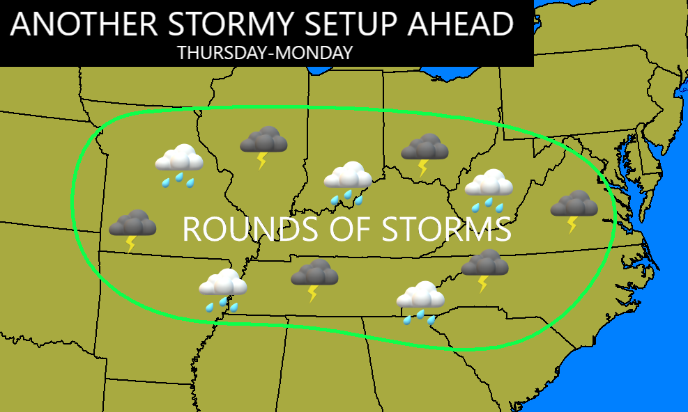
This brings us into the stormy setup I’ve been talking about for a while now…
The first round of storms approach western Kentucky on Wednesday and a few of those storms may be on the strong side. The Storm Prediction Center even has this area in the target zone for potential severe storms…

Rounds of showers and storms then work into the rest of the state Wednesday night and Thursday…
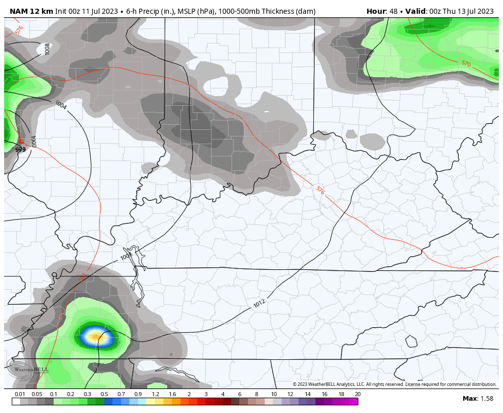
The NAM is spitting out some hefty winds with that early Thursday cluster of storms…
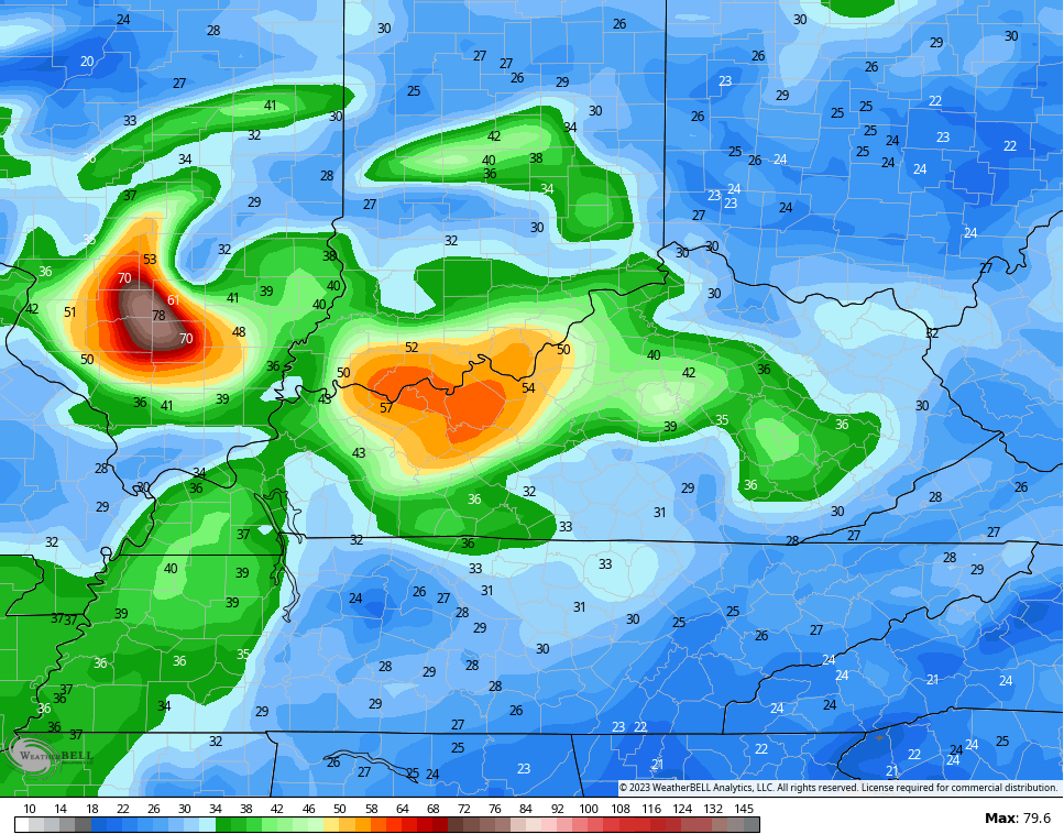
In terms of severe weather on Thursday, here’s what the SPC is thinking…

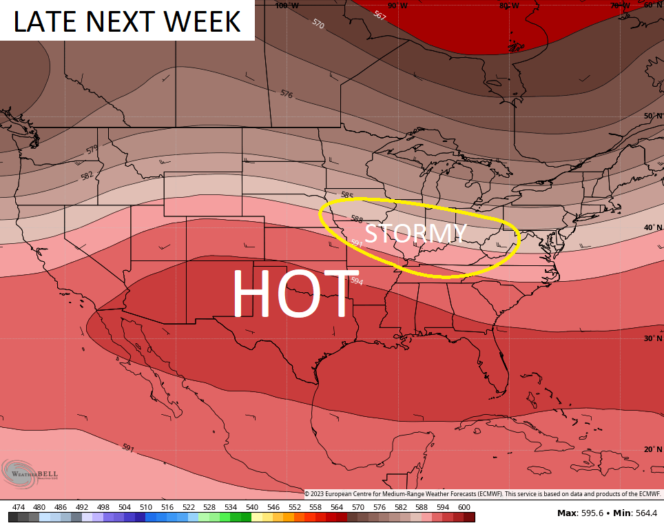
Those rounds of showers and storms will then continue on and off through the weekend and likely into early next week. The latest GFS Ensembles 10 day rainfall departure from normal shows above normal rains into next week…
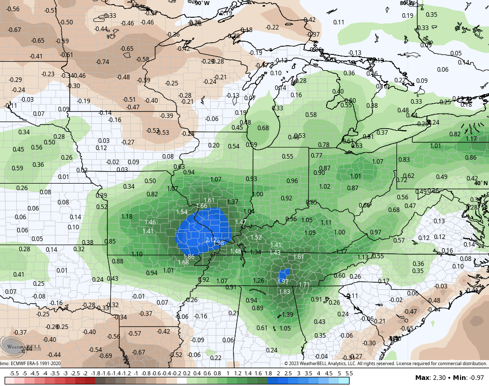
That matches up well with the area I first highlighted more than a week ago…
Have a terrific Tuesday and take care.

Cannot beat the weather we have had over the last two days.
I wonder if the extreme humidity will ever reach us?
Let’s hope not…
We’re almost mid-July and haven’t had any real heat…. A few 90 degree days but nothing crazy (at least here in Lexington)
Aug/Sept can sometimes be hot/dry… sometimes wet/cool
Marklex your right so far this summer hasn’t been that bad.