Good Thursday, everyone. Steamy temps and high humidity levels are combining forces to create rounds of strong to severe storms out there today. This kicks off our stormy setup that will bring rounds of storms through early next week. Outside the storms… There’s some sizzle.
Temps today range from the middle 80s to lower 90s across the state. Humidity levels will make it feel toastier than that.
A weak front approaches the state from the northwest tonight and brings rounds of storms in here. This is NOT all day stuff, but the storms that do go up may have a kick to them and produce high winds and hail.
The Storm Prediction Center has a Marginal Risk to Slight Risk across the state…

Here’s your breakdown of the individual threats for the day…
DAMAGING WIND is the primary player…

LARGE HAIL may also be an issue with a few storms…

The TORNADO THREAT is way down there, but there is a small risk for parts of the region…

Storms will be in clusters and not everyone sees storms today.
Friday looks steamy with temps from the upper 80s to middle 90s across the state. There’s still the chance for a few storms going up, especially later in the day.
Storm chances increase on Saturday and decrease a bit for Sunday. Any storm that’s out there may be strong or locally severe. Temps outside of storms will again range from the upper 80s to the middle 90s. As usual, the toastiest temps are in the west during this entire time.
Temps come down early next week as a trough digs in. That trough swings through with another punch of heat possible for a day or so in the middle of next week. A trough looks to come right back after that…
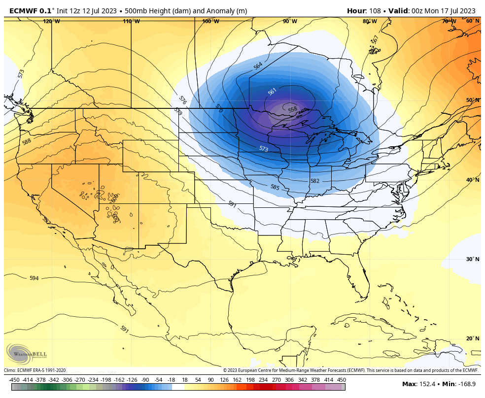
On the edge of that heat could be some serious thunderstorm complexes and that’s something to file away for the middle and end of next week.
I will update things as needed today and I’ll be on WKYT-TV as needed. Don’t forget these links so you can follow your friendly weatherdude on other platforms:
Twitter: https://twitter.com/Kentuckyweather
Threads: https://www.threads.net/@kentuckyweather
Facebook: https://www.facebook.com/ChrisBaileyWKYT
Instagram: https://www.instagram.com/kentuckyweather/
YouTube: https://youtube.com/@Kentuckyweather
Here are your storm tracking tools for the day…

Current watches

Possible Watch Areas

Have a great Thursday and take care.

Here is the link for the complete summary from a Chicago network affiliate of the numerous tornadoes that touched down and the damage they produced in the near West Suburbs of Chicago and also the NW Suburbs early Wednesday evening. A total of eight tornado touchdowns in those areas were reported. Despite all the damage, there were no reports of major injuries or deaths.
https://abc7chicago.com/chicago-weather-forecast-flash-flooding-flood-radar/13492647/
The latest ENSO report is out, and indicates a 90% chance that El Niño will persist through Winter 2023/24, and could possibly reach historic levels, rivaling the Winters of 1997/98 or 2015/16.
https://www.cpc.ncep.noaa.gov/products/analysis_monitoring/enso_advisory/ensodisc.shtml#:~:text=Synopsis%3A%20A%20transition%20from%20La,Ocean%20%5BFig.%201%5D.
That sounds good if you want snow is it??? I hope so.
I’d love to see that happen. The pieces seem to be falling into place, Crystal, and this is a big one, though nothing these days is a given.