Good evening, folks. Waves of severe storms continue to roll from west to east across the state and they’re causing issues. Not only are we tracking the damaging wind and large hail threat, but we’re also on guard for flash flooding.
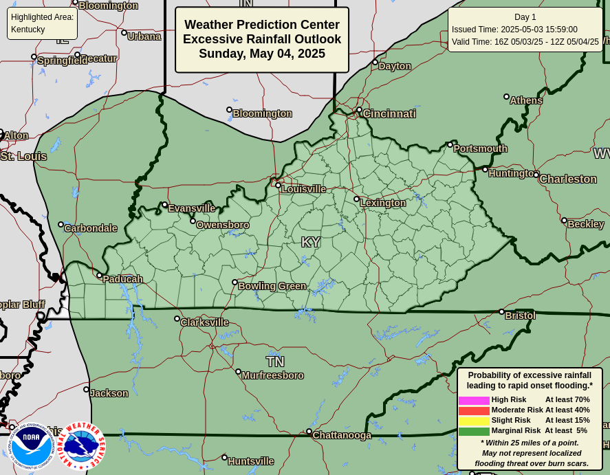
These storms are prolific rain producers and can put down several inches of rain in a short amount of time. The area of greatest concern is western and south central parts of the state. This is where the WPC has the increased risk for flash flooding through tonight…
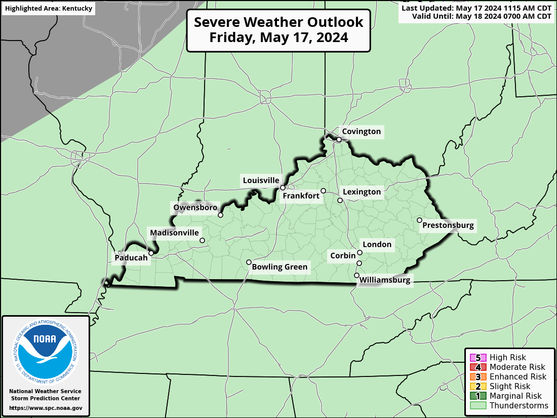
Here’s the breakdown of the severe threat for the evening…
OVERALL SEVERE WEATHER OUTLOOK
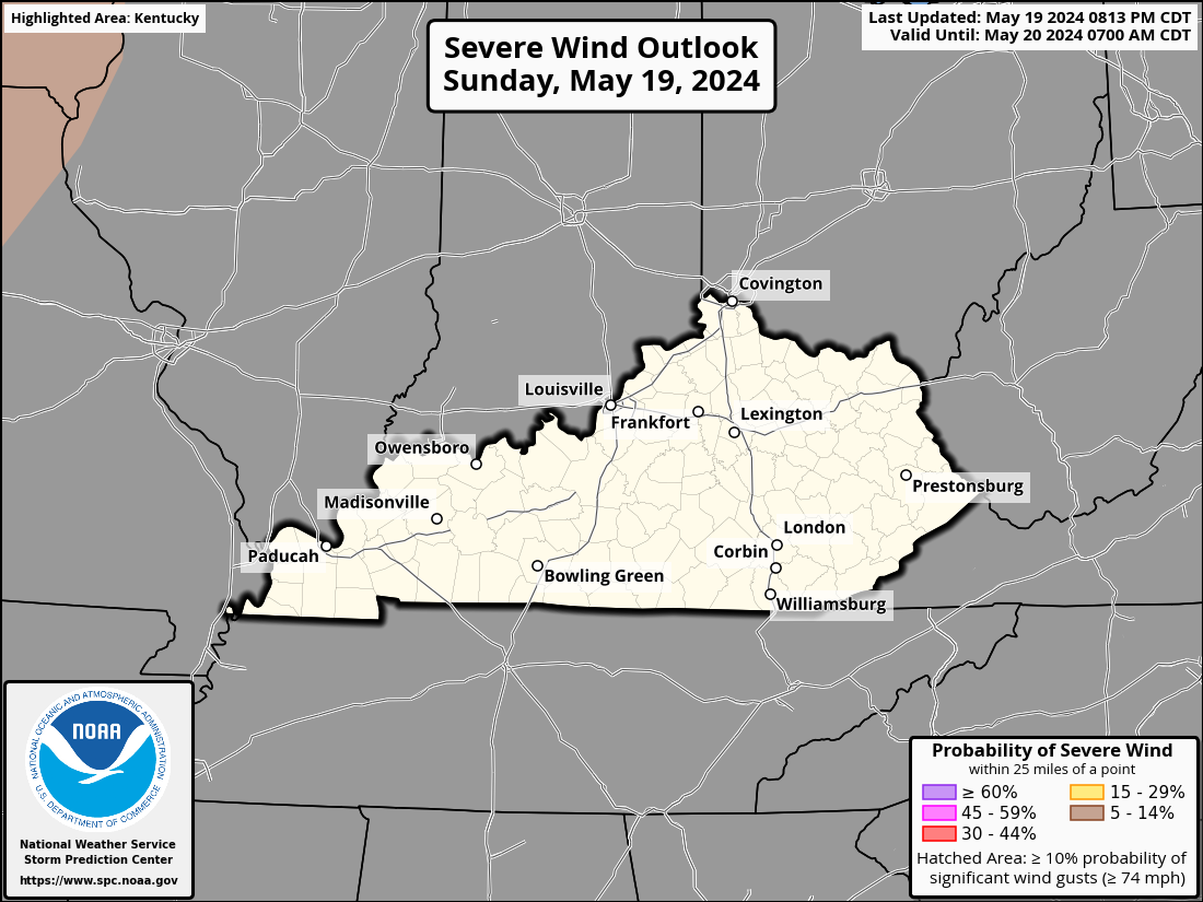
DAMAGING WIND
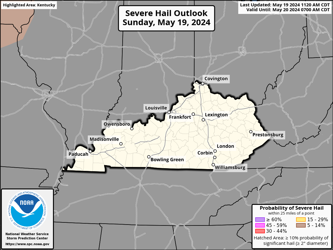
LARGE HAIL
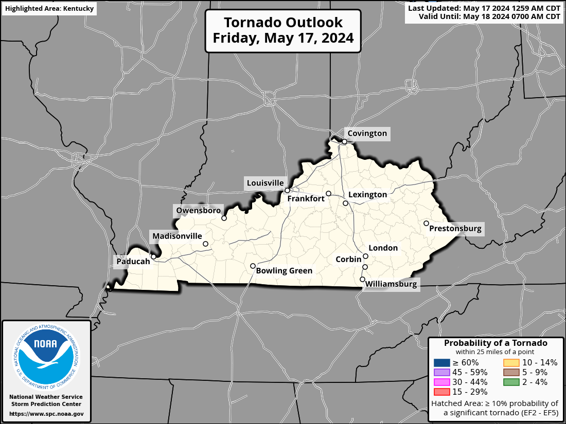
TORNADO THREAT
I will update as needed and be on WKYT-TV as needed today. I leave you with your storm tracking tools…
Have a great evening and take care.


