Good Thursday to one and all. Our stormy week has one more day left in the tank before we get into some really nice weather for the weekend. This nice weather is exactly what the weather doctor ordered for the storm weary Commonwealth.
By now, you’re heard about the historic rains of western Kentucky Tuesday night and Wednesday. Mayfield set the 24 hour record rainfall for Kentucky with 11.28″. Wow!

That’s just an insane amount of rain and is another extreme weather event to hit Kentucky in recent year. Unfortunately, Mayfield has been the recipient of two of those.
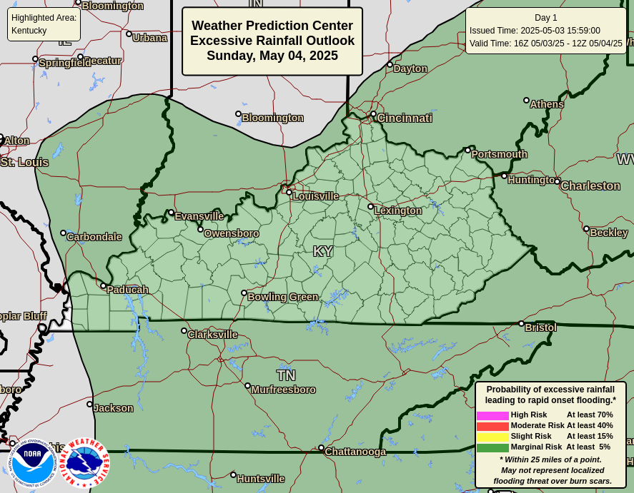
In terms of severe weather today, we find an increased threat for much of the area. The Storm Prediction Center has many areas in the Slight Risk…

Here’s your breakdown of the individual threats for the day…
DAMAGING WIND is the primary player…

LARGE HAIL may also be an issue with a few storms…

The TORNADO THREAT is way down there, but there is a small risk for parts of the region…

These storms may also bring another round of flash flooding, especially across the west and south…
These storms aren’t all day. We may very well have one cluster of storms ongoing to start the day in the west and south. That rolls east and southeast through the morning and early afternoon. After a break, another round of storms may develop during the evening hours. Those would be coming in from the northwest.
The cold front responsible for this will finally push through on Friday with some amazing air coming in for the weekend. Look at the forecast lows from the GFS…
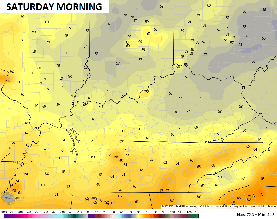
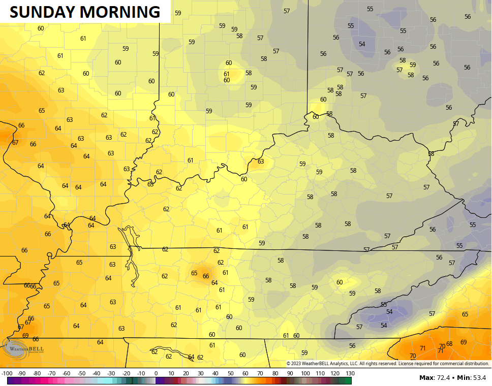
Highs Saturday will barely reach 80 in some areas with mostly sunny skies. Those numbers for Sunday will generally be 80-85 with more in the way of pleasant weather.
The threat for a few storms will be back with us next week as temps get closer to normal. We need to watch the middle and end of the week for a few more strong storm clusters dropping in.
As always, I have you all set to track today’s severe weather threat…

Current watches

Possible Watch Areas

Have a great Thursday and take care.

I would rather have the heavy rains today, and not the damaging winds. By heavy I mean an inch of rain. Depends on where the path of least resistance is ? Frontal rains are usually short lived and blow through quickly. Looking forward to the pleasant weather that is forecast this weekend.
Vacationing on Fort Loudoun Lake in East Tennessee with four grandchildren. Awakened just after first light by peals of thunder. Went down to the screened porch and looked across the water. Couldn’t see the far shoreline. Rain was coming down as if poured from a boot. Weather app reports we’re under a flash flood watch through early afternoon. No kidding. Going to be tough getting our lines out this morning.