Good Wednesday to one and all. Steamy temps are settling into the Bluegrass state but some storms are trying to help us out. These storms will flare up from time to time over the next few days before we try to get back into a bit more of a stormy setup.
Storms will be fairly scattered across the region today with temps ranging from the upper 80s to low 90s for many with temps a little toastier than that in the west. Humidity levels will add to the stem factor.
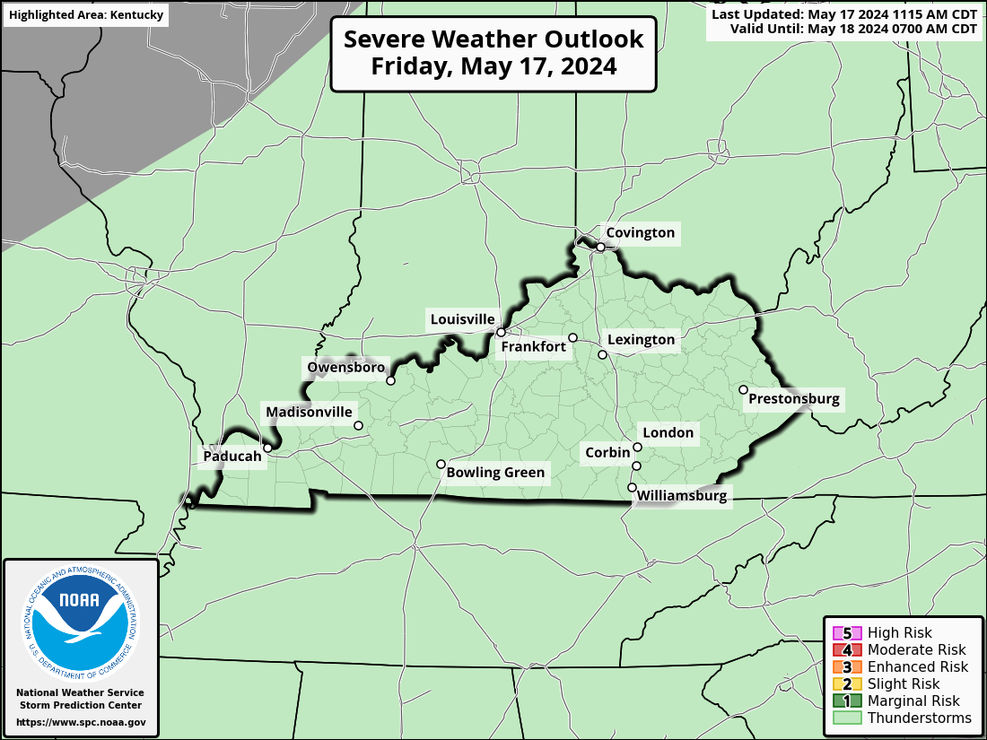
Some late day strong to severe storms will likely be just to our north but it may be a close call on whether some of those impact the far north. Here’s today’s Severe Weather Outlook from the Storm Prediction Center…

The threat for a few storms will be noted later tonight and into Thursday. The models are seeing greater coverage of these storms as we get closer…
NAM
Storms and clouds would limit temps for some. Outside of storms, upper 80s to 95 would be possible across the state.
Temps for Friday are similar with less coverage of the showers and storms.
The cold front dropping in this weekend may show up just a bit earlier than what I’ve been thinking. Showers and storms look to increase late Saturday through Sunday…
That front would knock the numbers back down through Monday. We could be see another brief bounce back right after that but the Ensembles are still latching onto the idea of another eastern trough into the first week and change of August…
EURO ENSEMBLES
CANADIAN ENSEMBLES
I will update things if need be later today. As usual, I leave you with your storm tracking tools for the day…
Have a great Wednesday and take care.


Not buying the ensembles one bit.
Jeff just enjoy the heat that were enduring now.
Don’t tell me what to think.
The ensembles are based on anomalies. Not what’s really happening in our atmosphere. In my opinion they should not be used in long ranged weather forecasting. Use what is actually going on with temperature and precipitation.
Here are two maps of the World showing the actual sea surface temperatures and the second map showing the anomalies. Quite a difference I must say.
https://weatherstreet.com/hurricane/sea-surface-temperature-atl.htm
Heat Waves are hard to break when the two high pressure ridges merge.
Kind of like Romeo & Juliet.
A lot of heat & hard to break.
It’s a sunny, breezy, blazing hot 109 degrees here in Las Vegas this afternoon, which makes it great for swimming at the hotel beach. Every day during my stay the temps have been between 109-112 degrees. The daytime relative humidity is only around 10% though.
It was 89 degrees here yesterday with a dew point in the mid 70’s. Enjoy the dry desert heat Mike and take care.