Good Thursday, folks. We are cranking up the sweat factor out there over the next few days as typical summertime heat and humidity settle into the region. This steamy air also comes with the threat for a few showers and storms.
Before we get into the forecast, let’s look back to one year ago when the worst flash flood in Kentucky history hit eastern Kentucky. Here’s a look back at the KWC post leading up to the event:
MORE FLASH FLOODING LIKELY
Here’s the post from the day after the devastating event:
FLASH FLOOD THREAT CONTINUES
Our friends and neighbors in these areas are still in need so let’s do whatever we can to get their lives as back to normal as possible.
Temps today are conditional on the amount of clouds and thunderstorms showing up across the state. Where clouds and storms show up, y’all aint getting out of the 80s. Areas with more sun will see 90-95 with the best chance of that being in the west.
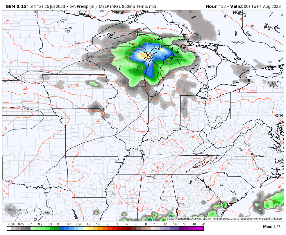
The Future Radar from the Hi Res NAM shows the storms developing this evening and some could be strong…
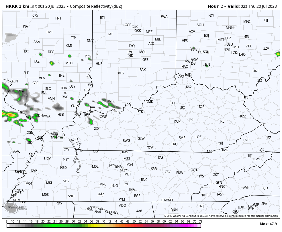
Here are your radars to follow along in real-time today…

Friday looks like the hottest day of the year, so far. Highs from 90-95 will be common as the humidity pushes the heat index into the 100-105 category in the western half of the state. Farther east, it will feel the part of 95-100.
Storms may show up by late afternoon and evening, especially in the north. The Hi Res NAM shows this cluster of storms in the north and east…
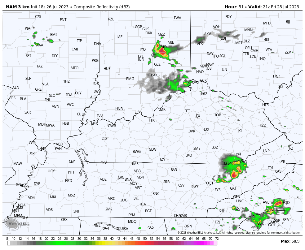
That’s where the threat for a few severe storms may show up. Here’s the Severe Weather Outlook from the Storm Prediction Center for Friday…

Temps on Saturday are steamy again and may hit 90-95 before some late storms get into the mix. The best chance of storms will be Saturday night and Sunday..
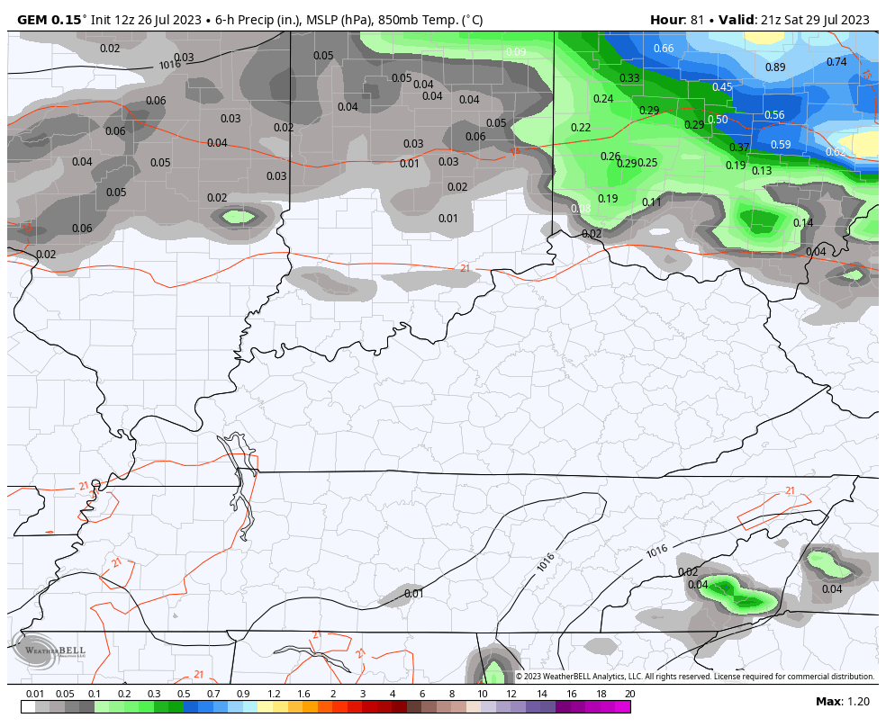
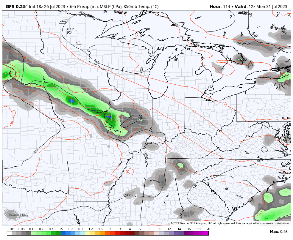
Cooler winds blow behind that into Monday but we need to watch the northwestern sky next week as we flip the calendar to August. That’s when some storms try to drop in…
GFS
CANADIAN
Have a great day and take care.

What has happened to get Folks back to a normal way of life a year after the devastating Flood ??? I haven’t heard anything here lately on their progress.
Take care and stay cool everyone. Gonna be a Hot One.
I think some people have cleaned up but I haven’t heard a lot either. I do notice it seems when the waters do rise that it gets a little bit higher each year. I hope Jeff is enjoying his warm weather lol. Heat is not my thing but I guess we do have to have summer sometime. Try to stay cool everyone.
It was a very sad flooding event which affected a lot of Folks. Hope the area that sustain the worst of the flooding is beginning to get back to a normal life.
HRRR model was a bust last night.
Just a$$ume it is going to be dry the whole week.
I don’t pay much attention to models for accuracy on rainfall, Snowfall or Temperature. I’ve been looking at the satellite maps and the current radar returns to see what weather systems are going to affect my area. Maybe some scattered showers in my area for next week.
Yesterday the clouds tame the heat here in my neck of woods. Stay cool everyone and have a great day!!
In a Heat Wave clouds are our friend. A cooling afternoon thundershower is a big plus.
Just read a very convincing article by scientist on Climate Change and ENSO. I haven’t believe in it before. I just thought it was always political. It’s not, and it’s happening fast. As a result, the El Nino’s impact in the future may not produce the Snowy Winters we have seen in the past ? Our climate may consist of a longer Summer and shorter Winter. I think I saw my last Snowstorm in 2004. I hope not.
https://www.climate.gov/news-features/blogs/enso