Good Friday to one and all. It’s more of the same out there today with steamy temps and scattered showers and storms. This setup takes us into the weekend as storm chances increase along and ahead of a cold front that will knock the numbers down behind it.
Storms late Thursday into early this morning have been causing issues. Local wind damage has been reported and these storms also put down torrential rainfall causing flash flooding in some areas. Guess what we have out there today? Pretty much more of the same with some storms to go along with the hot and humid conditions.
Temps will range from the upper 80s to middle 90s again with heat index values coming in much higher.
A few rain cooled boundaries from overnight storms will likely be floating around central and eastern Kentucky today. This may fuel a few more rounds of strong storms that can put down heavy rains. This is something the HRRR is picking up on through this evening…
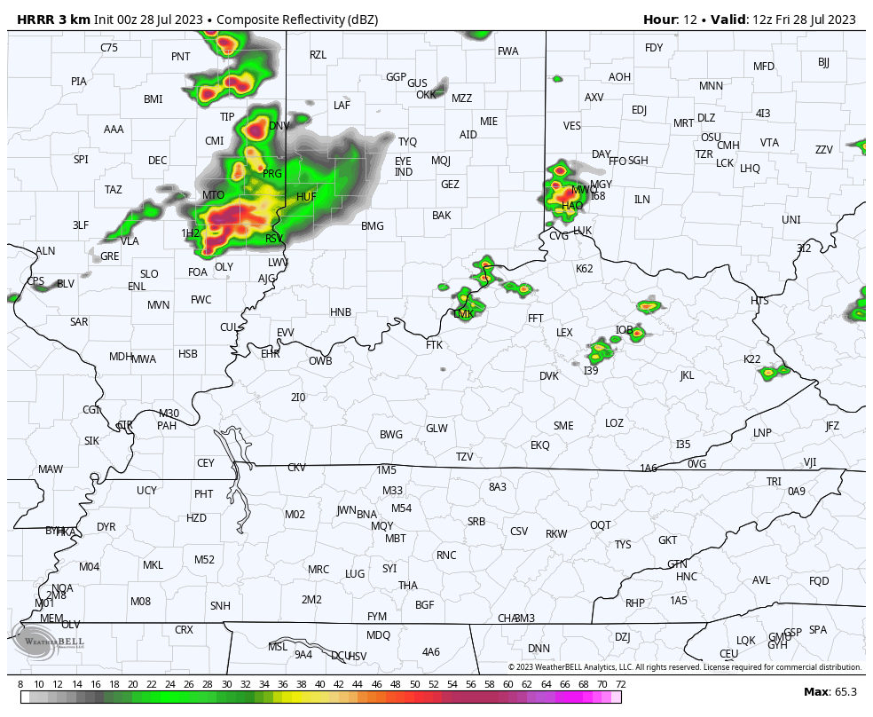
The Storm Prediction Center has the greatest severe threat to our north. That’s reflected in today’s Severe Weather Outlook…

Saturday is another hot and humid day with some storms going up during the afternoon and evening as our cold front drops in from the north. This will slide in on Sunday with a few more scattered showers and storms…
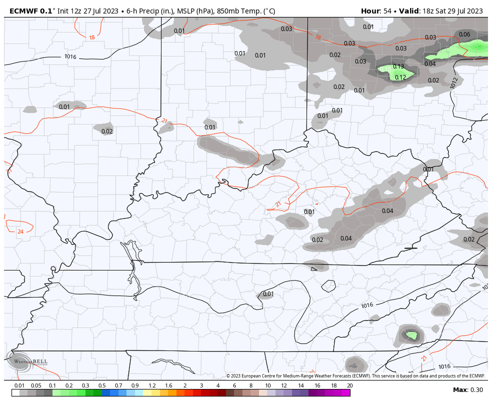
The SPC has much of the region in the low-end risk for severe storms on Saturday…

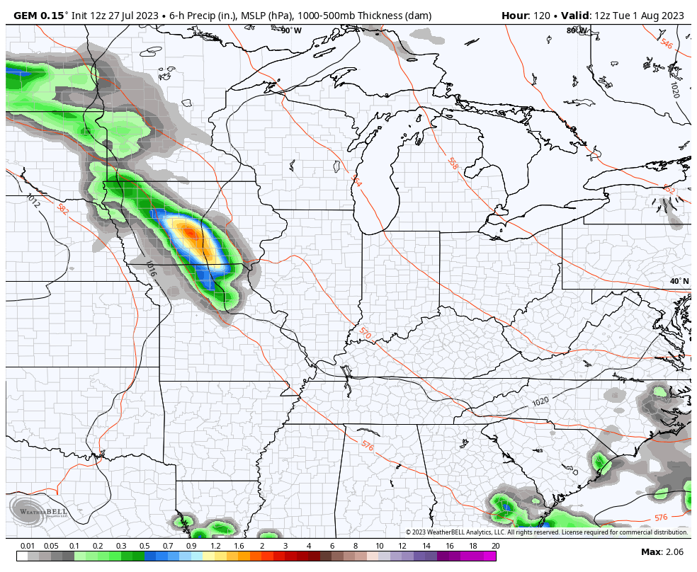
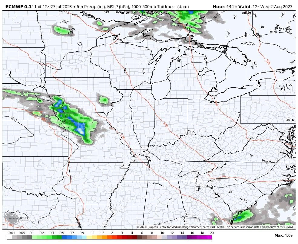
Cooler and drier air comes in for early next week. The heat tries to fight back and that may ignite rounds of storms dropping in from northwest to southeast for the middle and end of next week…
Canadian
EURO
Here are your storm tracking tools to end the week and start the weekend…

Current watches

Possible Watch Areas

Have a fantastic Friday and take care.

Enjoying the warmth and drier weather of late.
I am glad Jeff that you received the weather type you wanted. I for myself would prefer a more normal end to Summer and a pleasant weather type to usher in Autumn. The current Global Heat Wave tells me that’s not going to happen.
My area again is not going to receive the much needed rains this weekend. The precipitation pattern is farther North and East. Looking like a return to dry, dusty soils. Really a very disappointing weather type to say the least.
No recent update on ENSO for this Fall and Winter. The most recent article from NOAA says that Climate Change will make La Nina and El Nino events more extreme.
Be blessed that this temporary pattern we are in wasn’t the whole summer.
We are extremely lucky. Many people around the world have been stuck in this pattern since late spring.
I have never seen the World in such a mess. Something has to change. Hopefully very soon.
I’ll be glad when snow is in the forecast! LOL
Yeah, me too. Several Major Snowstorms. We are long overdue.
Yes we are Schroeder. I think this winter will provide us some hefty snow.
These dewpoints! UGH
Agreed lol. 75 at 1am is beyond muggy.
Right now 82 degrees and a dew point reading of 74 degrees. Most uncomfortable I’ve seen it here in Maple in several years.
91° feels like 102° in Richmond currently with another 3 or so hours of heating left. Stay hydrated!
Currently it’s 92 degrees with a heat index of 106 degrees here in Maple.
It’s 90 degrees at 3 PM CDT at the NWS Forecast Office in the SW Suburbs of Chicago , but with the humidity at 74%, that makes for an oppressive dew point of 81, and a heat index of 108.
At O’Hare and Midway, it’s 91 degrees at both airports with a dew point of 75.
The entire Chicago Metro Area is in the Enhanced Risk of severe weather for later today. The radar is quiet now, but with the extremely high dew points, there will likely be explosive development of storms toward evening.
This was the Hottest day so far in Maple. The high was 95 degrees with a dew point around 74 degrees. Hope it cools off some in the next few days with a cooling rain / shower.