Good Monday, folks. It’s the first full week of August and it’s beginning with the threat for strong to severe storms. This latest severe weather threat comes from a highly anomalous early August pattern that features the jet stream diving deep into the region.
A few storms are possible early today with a greater threat developing this afternoon and early evening as a front works in. Storms along and ahead of this front may be strong to severe, especially across central and eastern Kentucky. The Storm Prediction Center continues to highlight this potential in today’s Severe Weather Outlook…

Damaging wind and large hail are the main threats but the tornado threat is a bit increased across eastern Kentucky…
DAMAGING WIND

LARGE HAIL

TORNADO THREAT

A few wraparound showers will be noted into tonight and early Tuesday as cooler winds blow in. This calmer weather won’t last long as yet another potent system works in here later Wednesday and Thursday. This is likely to bring more strong to severe storms and heavy rains into the region…
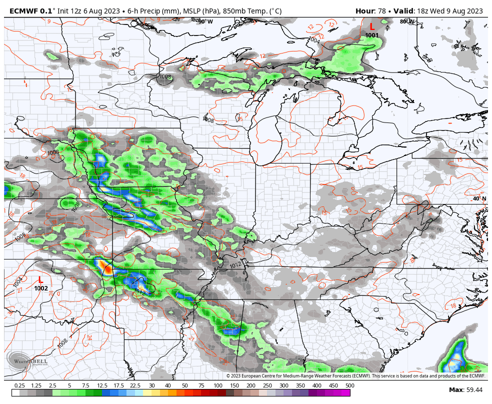
The Storm Prediction Center is already highlighting the Wednesday severe chance in the west…

I will have the latest on WKYT-TV and will update things on KWC as needed. As always, here are your storm tracking tools for the day…

Current watches

Possible Watch Areas

Have a great Monday and take care.

Worse case scenarios ( anomalies ) can happen, so it’s always best to be prepared in case the severe weather event occurs. Yesterday’s predicted severe weather with high winds and large hail did not happen, but today it might. I can’t remember such a cloudy Summer as we have had this year. Still hoping for a cooler and drier end of the month, which would indicate changes in the Tropical Pacific ( El Nino beginning to react with the atmosphere. )
The Storm Prediction Center has updated today’s severe weather forecast, a portion to a Moderate Risk, so stay safe Southeast Kentucky!!
https://www.spc.noaa.gov/products/outlook/day1otlk.html
I got a weather message or call on my phone recording message tornado watch but at the end of it it says take action within the next hour does that mean to just be aware or what ?? I think that’s what that means.
When a Tornado Warning is issued in your area. Take shelter now !!!
It was a watch and my rain lasted about 5 minutes.
That’s good your area didn’t get the severe weather. I think your in the clear now. It’s been cloudy and very windy here in Maple. Early this morning we had 0.02 ” of rain. Take care Crystal.
I’ll be glad to see a Heavy Snow Warning sometime this Winter rather than a Tornado Warning like we had in this county in December, 2020.