Good Wednesday to one and all. Here we go again! Another threat for severe thunderstorms rumbles back in today and takes us into the overnight. This is along and ahead of the first of two systems set to impact our weather between now and Monday.
Rounds of storms get into western Kentucky this afternoon and evening and there’s an increased threat for severe storms in this area. These storms will work farther east during the evening and overnight with a lower severe threat as they get into central and eastern Kentucky.
Here’s today’s Severe Weather Outlook from the Storm Prediction Center…

Damaging winds and large hail are the main players with these storms, but there’s also a low-end tornado risk in the west. here are the individual risks we are facing…
DAMAGING WIND

LARGE HAIL

TORNADO THREAT

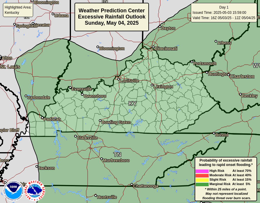
These storms will also put down heavy rainfall that can cause local high water issues. Here’s the Excessive Rainfall Outlook for the day…
As mentioned, this is the first of two systems to impact our region in the coming days. The next one looks to impact the region late this weekend and into early next week. This brings showers and storms into the region from the west and northwest. Another one may dive in behind that by the middle of next week and the models are picking up on both…
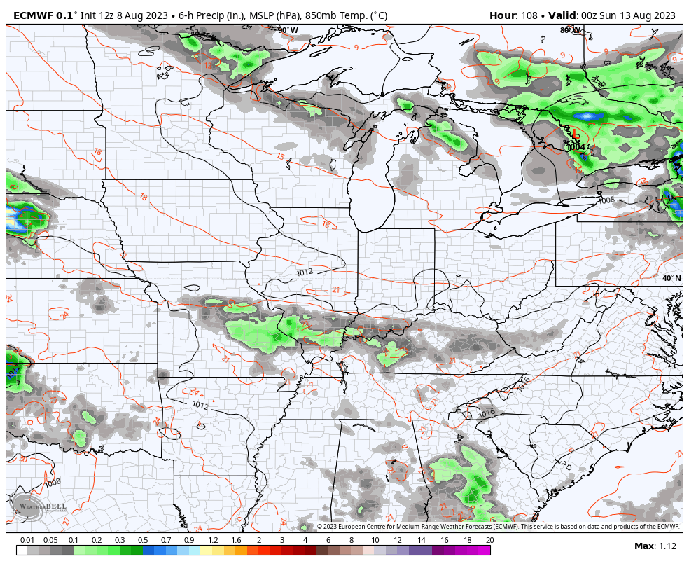
EURO
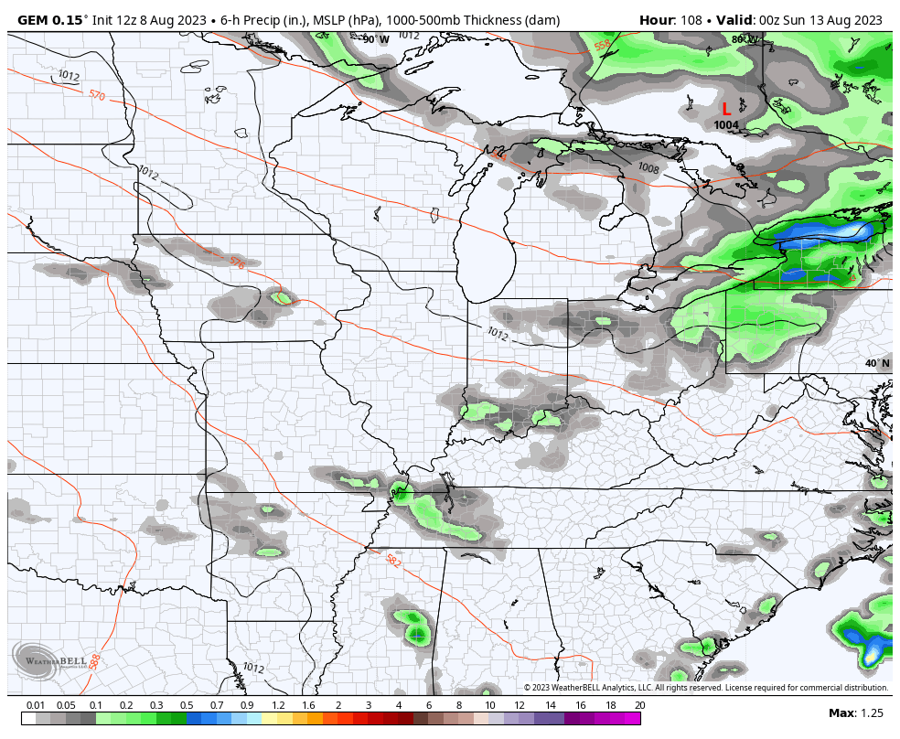
CANADIAN
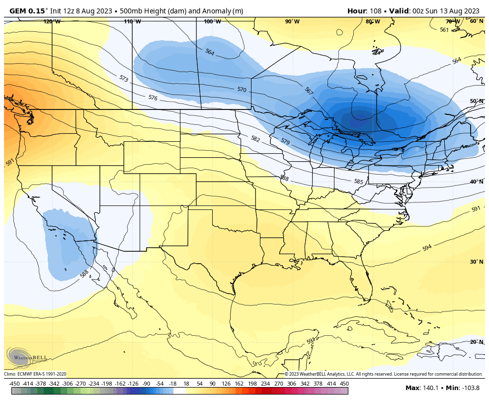
This busy pattern really doesn’t fit the dog days of summer, but it is a continuation of the summer setup. These big troughs continue to dive in here through next week…
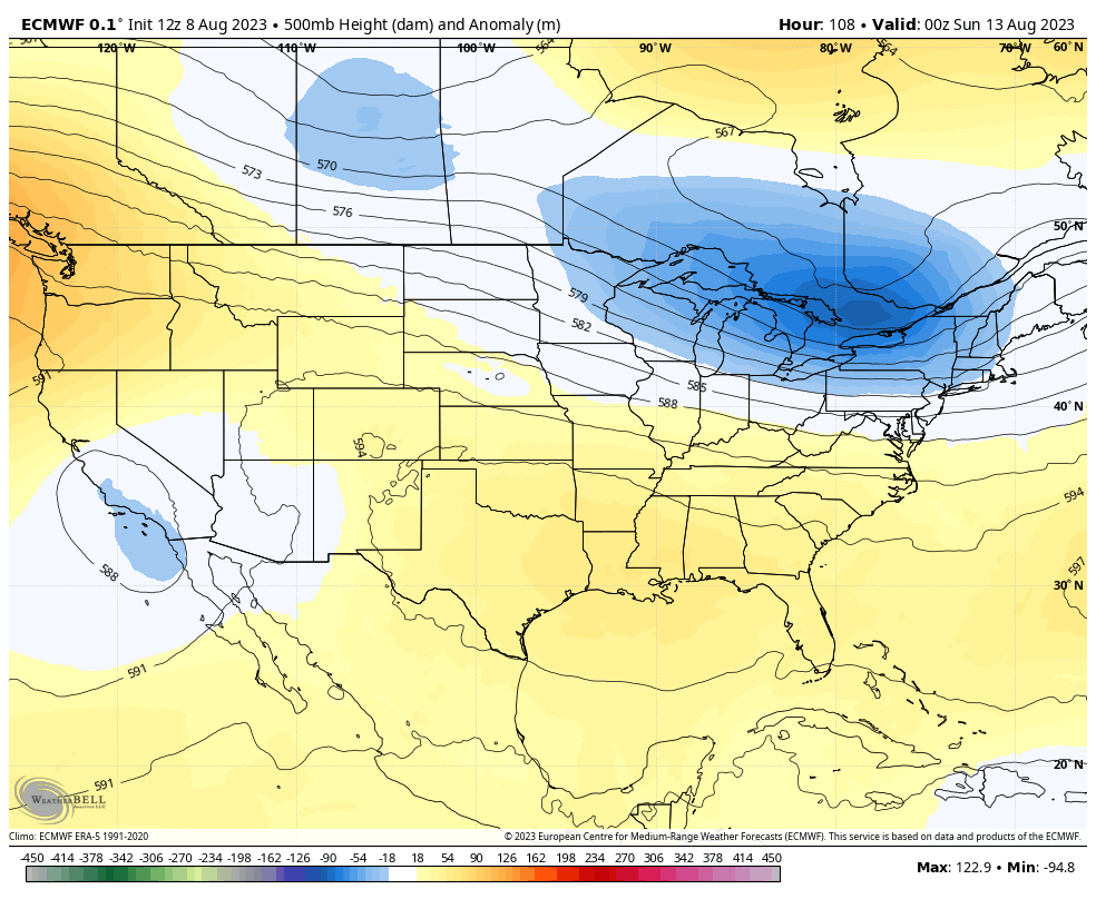
EURO
CANADIAN
You will once again notice I’m not using the GFS because of the insanity of what the model continues to show in terms of phantom extreme heat waves and very little in the way of thunderstorms. The USA deserves better than for this model to be the standard bearer of forecast models.
I promised some winter talk but it will just get lost in the shuffle of today’s storms, so I will hook you up with that tomorrow. I promise… Trust me this time. 😜😉
As always, here are your storm tracking tools for the day…

Current watches

Possible Watch Areas

Have a great Wednesday and take care.

Looks bad, but will it be ?
Once again it looks as though the worst of today’s storms will make it into far western KY, but will probably dive south into TN.
The current HRRR forecast run shows this pretty clearly:
https://www.pivotalweather.com/model.php?m=hrrr&p=ref1km_ptype&fh=loop&dpdt=&mc=
the pattern has shifted to a late to mid 1970’s to 1985 weather pattern. It’s been a hot and humid summer. I’ll take it compared to last years drought.
In the first map you will find the actual Sea Surface Temperatures and on the second map the ” Climate Change Map ” You will see a big difference between the two. The first map shows that the Arctic is not melting. On the second map it shows the Arctic on fire. Here’s the maps :
https://weatherstreet.com/hurricane/sea-surface-temperature-atl.htm
In addition to the above, my opinion is that the Earth has not changed that much as far as temperature, and that Global Warming ” Climate Change ” is just BS from the left. DJT – 24
Summer has not been “tame” or “solidly below normal” at all.
And it’s not over yet either. It was just one warm to hot Summer altogether. Just made to sound extreme. In 1979 Summer displayed about the same in temperature and precipitation.
Exactly. 2004 was a tame summer.