Good Sunday, folks. Temps are starting to take off out there today and this is a sign of things to come. Temps in the coming week will be hot, but a much cooler pattern settles in next weekend into the final week of the month.
The heat this week still has a question mark with it as some of the models drop some showers and storms in here from the north and northwest for the second half of the week…
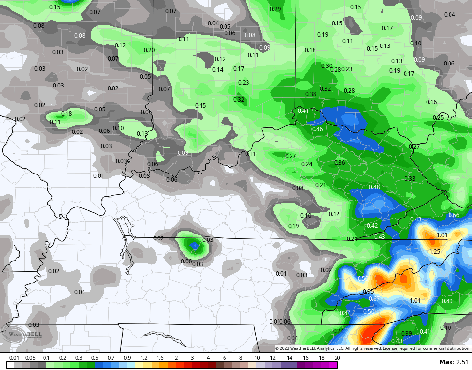
That could bring some underachieving temps into parts of the region during that time.
Regardless, all models keep the core of the heat to our west…
Hurricane Hilary looks to weaken as it heads toward the Baja of California and southern California later today and Monday. The first ever Tropical Storm Warning continues for southern Cali…

What’s left of that goes through Nevada, Oregon, Washington, Idaho and Montana before going into southern Canada and then heading east around the northern edge of the heat ride. What a crazy looking track this is…

Add this one to the quickly glowing list of extreme weather events.
The Atlantic side of things is blowing up with numerous systems developing…

The one heading toward the Gulf is likely to become a named storm that heads toward Texas in the week ahead. The rest of those systems will have to be monitored over the next week and change.
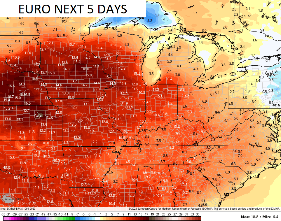
We are likely seeing a deep trough digging into back in here and into the eastern half of the country next weekend into the final week of August.
The EURO goes through August 29th and shows a healthy blast of below normal temps…

The Control run of the EURO Ensembles goes deep into Labor Day Weekend and sees this trough having staying power…

So there you have it, we get one hot week and then we see the pattern going right back to troughs in the east and just in time to close out Meteorological Summer and say hello to Meteorological Fall.🍁🍂
I can almost smell that pot of chili!
Have a great Sunday and take care.

I can eat chili in July and can grill steak in January. Also, not buying the rain chances that the models forecast.
North to South oriented steering currents, and an area of shear in the eastern Caribbean caused by the intensifying El Niño are already having an effect on the first in the series of Tropical waves, forcing it to sharply turn to the North-Northwest. My money continues to be on the Gulf of Mexico, where water temperatures are in the low 90’s, there is minimal shear, and the steering winds are mostly in an east to west direction. This could get very interesting!
I would like to see a little rain next week.
Another way to illustrate the impact of shear on tropical systems is look at the “spaghetti models”, which show many individual plots of a tropical storm’s possible paths. The following link shows possible paths for “Invest 90L”, which is the storm on Chris’s map that is closet to South America. The area of shearing winds is east of Haiti, and the models clearly show its effect, blocking the westward movement, and pushing the storm North, then Northeast.
https://www.trackthetropics.com/invest90/
Not that I don’t like each month of the year.. but if I had to pick my least favorite weather month it would either be August or Sept…
I tend to agree, especially in a back-loaded Summer. My favorite time is mid-October, after Fall’s first freeze kills off the blasted mosquitoes, but before I become inundated with leaves!
LOL
Cold weather is only good for vanquishing mosquitoes.