Good Monday, folks. We are coming off one of the more pleasant streaks of weather you will ever find in August, but mother nature is ready to collect on all that awesome weather. You know what they say… Paybacks are heat! 🥵😈
Temps today hit 90-95 in most areas with humidity making it feel hotter than that. The core of the heat this week is to our west and that means the western half of the state will go above and beyond the rest. Heat index values in the west of 110 or higher will be a good bet.
Daytime highs through Friday will be similar to what’s out there today. Can the eastern half of the state get in on a few thunderstorms Wednesday and Thursday? Maybe.
The GFS is showing some “ridge rider” thunderstorms across central and eastern Kentucky on this animation that goes from Wednesday morning through Friday morning…
A major cold front then blows in here to start the weekend and that will change things up in a hurry. This front drops in with the potential for some pretty good thunderstorms along it late Friday into Saturday. At the same time, two tropical systems will be trying their best to get into the mix as a deepening trough digs into the east.
Here’s the EURO with a system off the east coast and one heading into the Florida Gulf Coast…
Take a look a the impressive look from upstairs…
The Canadian isn’t as threatening with the tropical systems but also sees this monster trough digging in…
The GFS is similar…
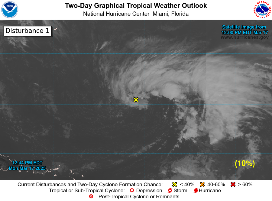
As you can see, the tropics are kicking up a storm… Or storms. The National Hurricane Center is tracking 5 systems in the Atlantic basin…

The immediate concern is the system in the Gulf. This is heading toward the lower Texas coast and may develop into a depression or storm before coming ashore…


Have a happy Monday and stay cool. Take care.
I thought the GFS was a bad model, though. 🙂
Like anything else in life it has its advantages & disadvantages.
If you remember last winter the GFS was much better than the Euro.
I am not good in posting links but I will try. I don’t know I guess take it with a grain of salt but it sounds like we have better chance this year for some colder weather Also they is a good article on the google home page concerning the winter 23-24 season
https://www.usatoday.com/story/news/weather/2023/08/19/2024-farmers-almanac-winter-more-snow-low-temperatures/70620025007/
This is the farmers almanac version or guess