Good Tuesday to one and all. We have some showers and storms rolling across parts of southern and eastern Kentucky and these may put down hit and run heavy rains. Some VERY nice air is also being noted and it gets even better for the final two days of the month.
As expected, a few showers and storms are targeting southeastern and eastern Kentucky today. Some areas may pick up enough rain to cause some local issues, so that’s something for us to watch.
Farther north and west, there’s only a small chance for a shower or storm to get into the Bluegrass Region of central Kentucky.
Here are your radars to follow along…

Temps today stay in the 70s across the areas where the rain is and reach the low 80s for areas getting in on some sun.
A second push of awesome air sweeps in here for Wednesday and Thursday. Highs may not get out of the 70s for many areas with very low humidity levels and partly sunny skies. Lows drop into the 50s for lows with Thursday morning being the coolest with some areas near 50…

Friday starts in the 50s and ends with the low and mid 80s showing back up. Mid and upper 80s will be common over the Labor Day weekend with a 90 possible, especially west.
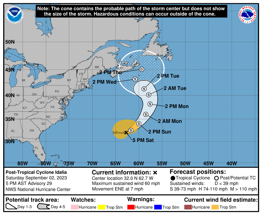
Let’s go to the Gulf of Mexico and get the latest on Idalia. This storm strengthens rapidly out there today…

Hurricane Warnings are up along the Florida Gulf Coast with Idalia likely becoming a major hurricane before slamming into the Big Bend area of Florida early tomorrow. Here’s the latest from the National Hurricane Center…
The storm surge with this storm is expected to be up to 12 feet or higher in some areas…
![[Image of cumulative wind history]](https://www.nhc.noaa.gov/storm_graphics/AT10/refresh/AL102023_peak_surge+png/235357_peak_surge.png)
Idalia then likely heads toward the Atlantic off the coast of South Carolina. It will be interesting to see what this storm does once it gets back over water. Can this thing do a loop and return toward the southwest and make a second run at Florida, this time from the Atlantic? That would be quite the scenario but I can’t say it’s impossible.
It’s worth following the trends on the Hurricane Models…

And with the GFS Ensembles…

Have a terrific Tuesday and take care.

The hurricane is running laps.
I just heard there is a possibility it could flip back around and hit Florida twice. I doubt that happens who knows with this wild weather?
I had a long conversation with my Sister last evening about what this Hurricane Idalia ( ee DAL au ) on how it may affect their area of Florida. They live 1/2 mile from the Gulf. I told them to head inland about 5 miles. No was the answer. They plan to ride it out. No one in their neighborhood had made any effort to prepare for the impending Hurricane. We will see how all this plays out ?
Thanks Chris. I wish we could discuss the upcoming Fall and Winter. I understand with what is going on now with the weather you must cover. Your doing a Great job.
Have not read or heard much on how El Nino may effect this Fall and Winter. No update from NOAA. By now I would think there would be an update on the ENSO Blog. They have an article out on coastal flooding due to climate change.
Idalia’s eyewall is nearly closed, and with the absence of shear, we’re going to see rapid intensification. Most recent aircraft recon did not list central pressure, but it has been dropping steadily. Steering winds aloft are minimal, so if forward motion stsys constant or slows, Cat. 4 is not out of the question. Hurricanes thrive on warm water, and the Gulf is a smorgasbord.
Since the waters along the Gulf are so shallow, life-threatening storm surge will be amplified. I believe that the current 12 foot surge forecast is a conservative estimate, so those in the path who choose to “ride it out” are taking a tremendous risk!
Joe, here’s the latest information on Hurricane Idalia :
https://weatherstreet.com/hurricane/2023/Idalia.htm
That is scary! This one is making me really nervous for some reason…probably because of how crazy the weather & climate events have been elsewhere so far this year!
My Sister and Brother in Law live North of Englewood, Florida where they have a Storm Surge Warning. I will call them later if I can get through. I wish they would have listen to me last evening when I told them to move inland.
I hope your family stays safe Schroeder.
Guys what the best place or site to track the hurricane and the satellite?
Crystal, an Android app that I like is called Hurricane Tracker. It has a lot of features and it’s free. Here’s a link to the Playstore:
https://play.google.com/store/apps/details?id=com.steveparker.hurricaneTrackerAndroid
Same Schroeder, hope you can reach them soon.! It’s good that you gave them good information & the good advice to move inland. I hope they fair well, so many Floridians ride these things out whereas we are nervous wrecks! Please keep us posted!