Good Sunday to one and all. It’s another very warm day across Kentucky as our Labor Day Weekend rolls on. This warmer than normal setup continues into the first half of the week before showers and storms return. Some of those storms look to return a little sooner than I had expected.
Highs out there today are mainly 85-90 in most of the state. This same temp outlook will be with us as we head into Labor Day with mainly dry skies.
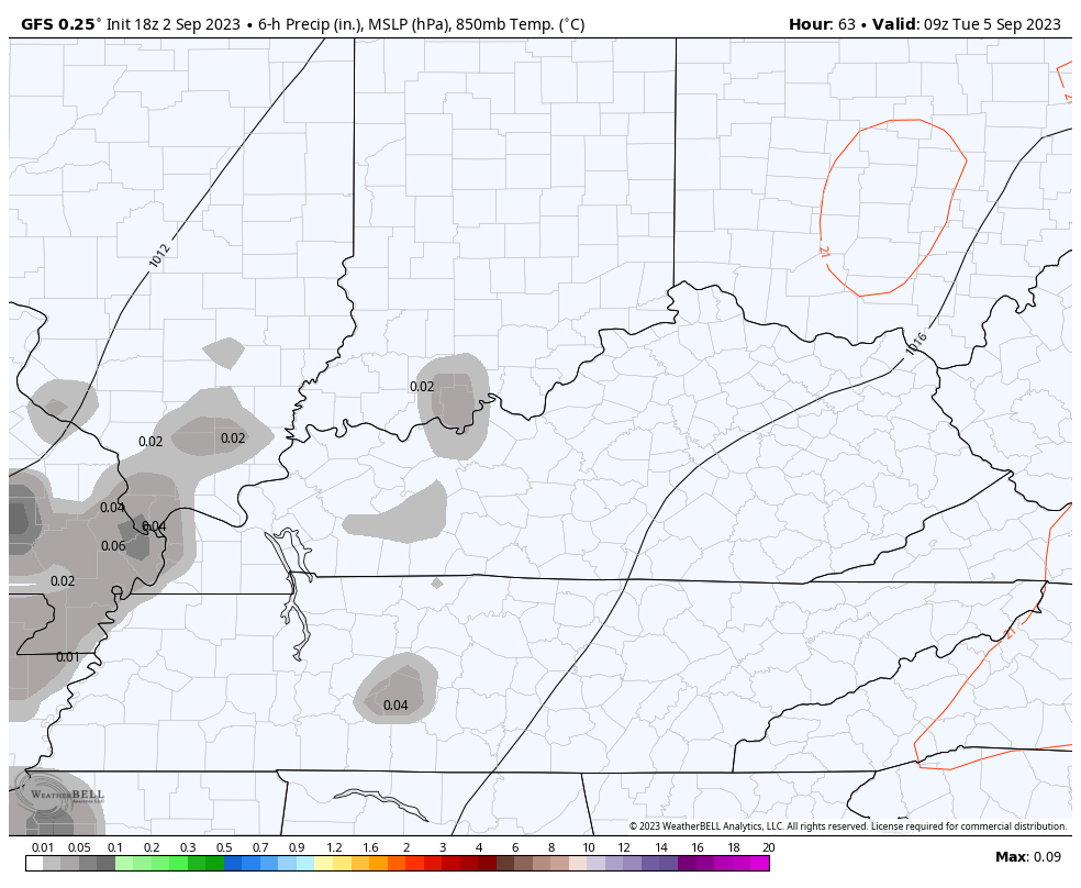
The threat for some showers and thunderstorms will sweep into the western half of the state as early as Tuesday. The models are actually bringing the threat a bit farther east each run. This animation starts Tuesday morning and goes through Tuesday night…
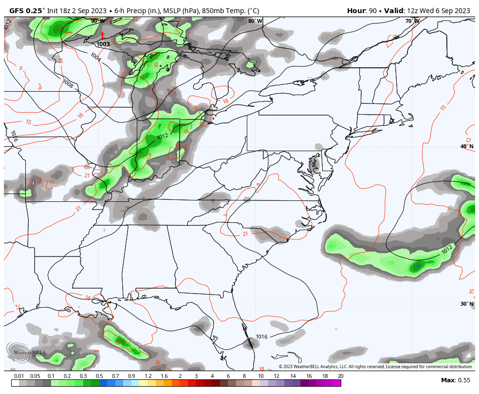
The trough diving in from the northwest arrives from Wednesday through the end of the week…
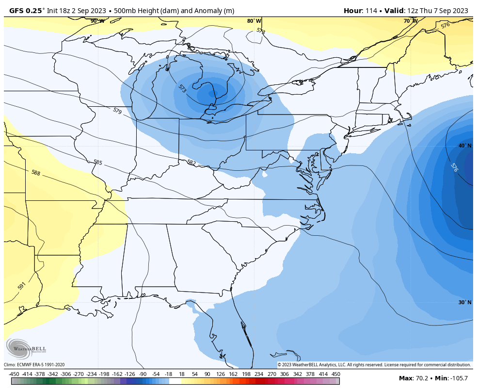
Much cooler temps come with that trough and so will the chance for a few rounds of showers and storms. The best chance is Wednesday and Thursday…
Have a great Sunday and take care.

I wasn’t keeping up with temps yesterday. I just looked to see what the Hi temp was at KLEX and as I suspected they were 4 degrees warmer with a high of 91 vs both mesonets at 87.. I know Jun-Aug was cooler than normal… but it’s still skewed
Thanks Chris. Where’s the Canadian and European models ? I would like to see if all three models are in agreement with the next precipitation event. I don’t have any confidence in just the Global Forecast System ( sad. ) Especially the anomaly. The average of other models lumped into one forecast.
Have a wonderful holiday everyone.