Good Thursday, folks. A cold front is rolling through the region early today with much cooler winds kicking in behind it. The overall pattern is trending toward a full-blown fall look as we roll our way into the middle of September.
Our cold front is pushing out of eastern Kentucky early today. It has a few showers and storms along and ahead of it with a mix of sun and clouds behind it. It will also feature some low clouds creeping back in from the northwest during the afternoon and evening. Those clouds may also produce a shower or two.
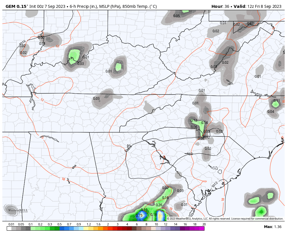
Your friendly neighborhood radars are here to help you out…

Highs today are generally 75-80 for most of Kentucky.
Temps on Friday will also likely stay in the 70s with a mix of sun and clouds and a shower or two hanging around. This comes as an upper level low spins across the region and just to our south. This low then spins back at us over the weekend…
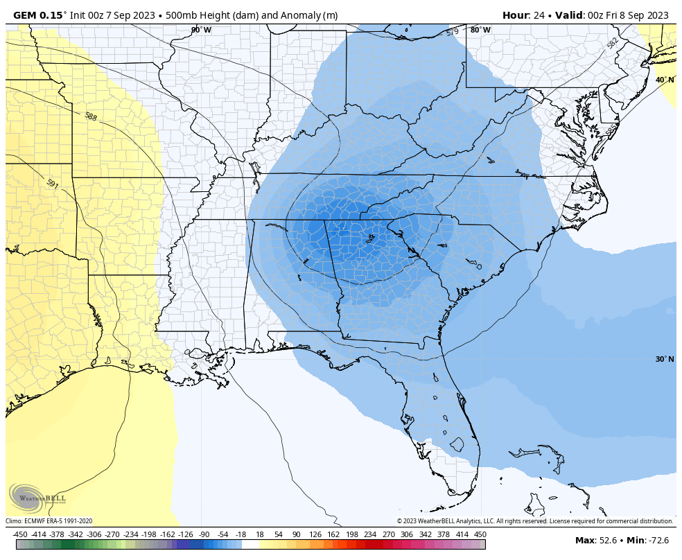
Given the orientation of this low, we will be watching the east and southeast for showers and a rumble of thunder coming at us against the grain.
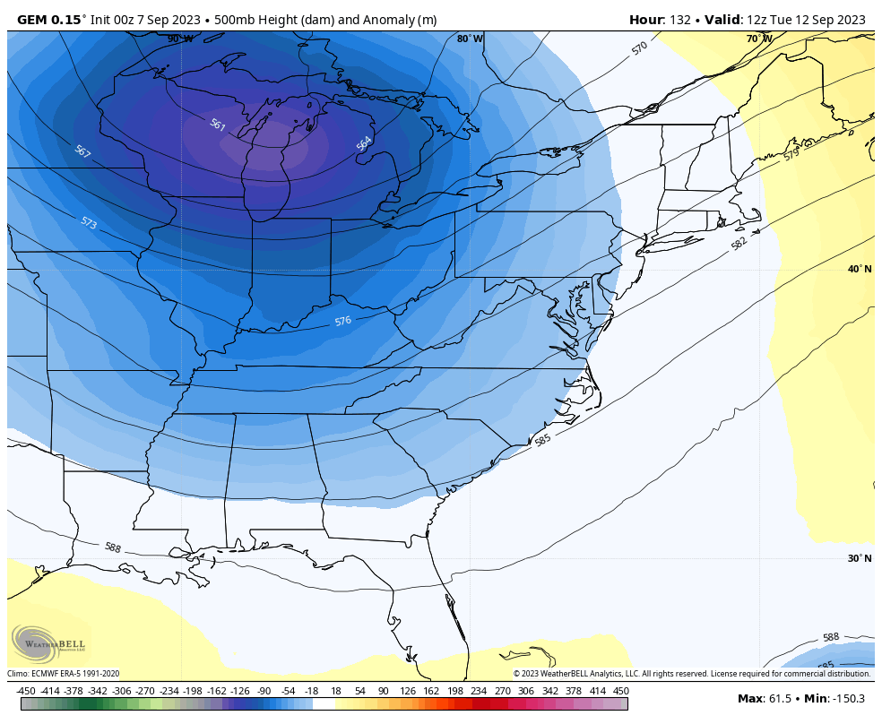
The setup after this features another deep trough digging into the region at the same time Hurricane Lee slowly moves across the western Atlantic. The models are going to have some huge swings in terms of any kind of interaction with this trough and Lee. This also means model disagreements on timing and placement of these features.
Here’s the Canadian…
The GFS…
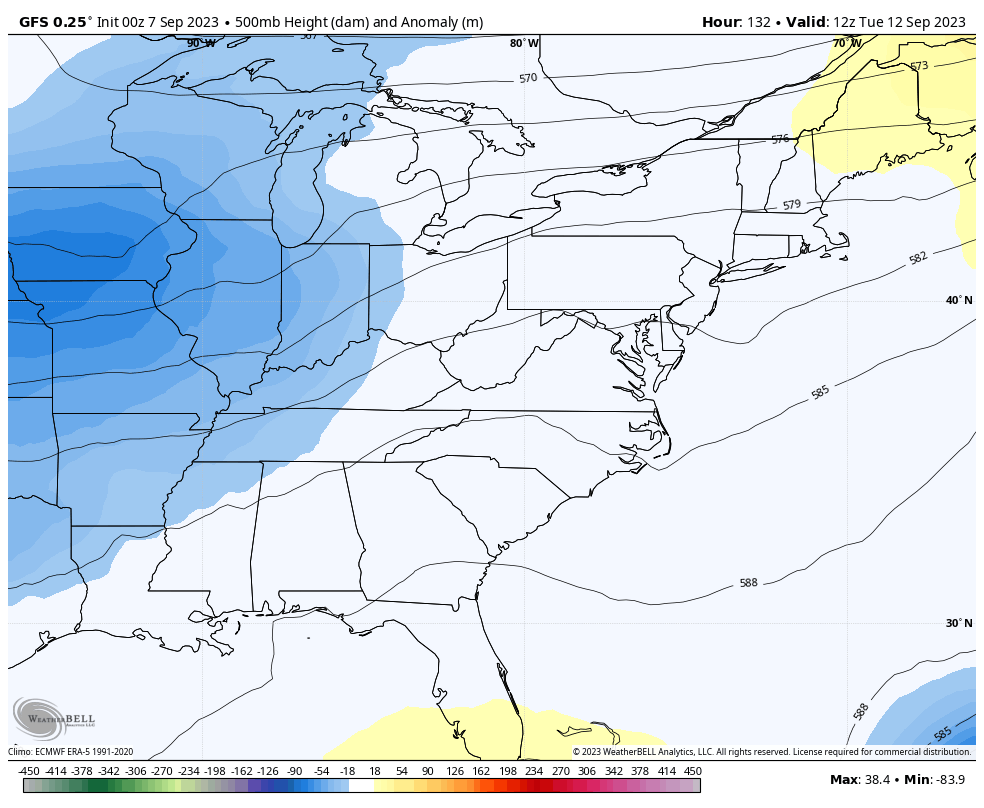
Temps around here run much cooler than normal around here and may drop into the 40s for lows before next week is over.
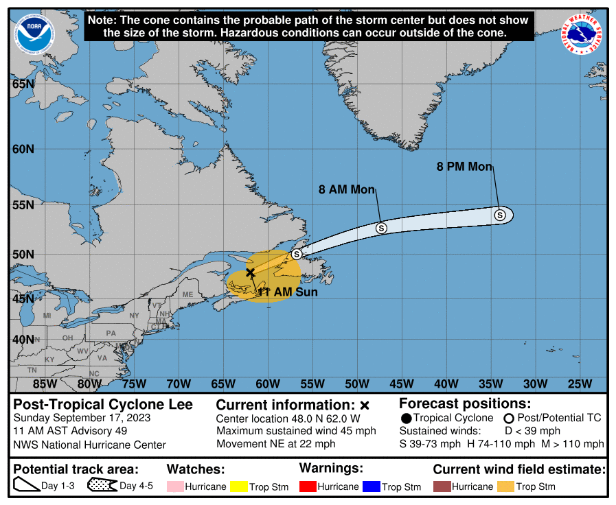
As mentioned, Hurricane Lee is churning toward the west-northwest and will become a major hurricane. This may get to Cat 4 or 5 status at some point…
The Hurricane Models don’t have a lot of spread right now…

Behind Lee is the next system that should get named soon…

Have a great Thursday and take care.

Thanks Chris. Our weather looks delightful if your area doesn’t need rain. Yesterday, we had enough rain to wet the driveway. Interesting what’s going on in the Atlantic with Hurricane Lee. I’m awaiting the update on ENSO from NOAA. This should tell us more about what we may expect this Fall and Winter in the way of temperatures and precipitation.
We need a good day of soaking rain , i guess the tropics activity has put a pause of any moisture coming through here.
In my opinion, that’s exactly what’s going on. Just scattered areas of the state are lucky in the rain department. If and when we get a full blown El Nino event the pattern will change. And hopefully some of the precipitation will be in accumulating Snows.
I hope we get snow too this winter but I guess we have to wait and see. It’s amazing what all affects the weather. Tuesday when I was out running errands it was hot!! I did hear that hurricane lee I believe it is would go to a cat 5 but hopefully it doesn’t hit on land.