Good Wednesday to one and all. Our Pot of Chili Watch has been upgraded to a full-blown Pot of Chili ALERT! Some real deal fall is flexing on us for the next few days and this will send lows into the 40s for many of us.

Temps today are generally in the 70-75 degree range as much drier air drops in from northwest to southeast during the day. This cool and dry wind will help overnight temps drop into the 45-50 degree range for much of central and eastern Kentucky.
Highs for Thursday are low 70s east with 70-75 in the west. Friday is 70-75 for most of the state with a mostly sunny sky continuing. Lows are dropping into the 40s again early Friday and might do it again Saturday morning, especially east.
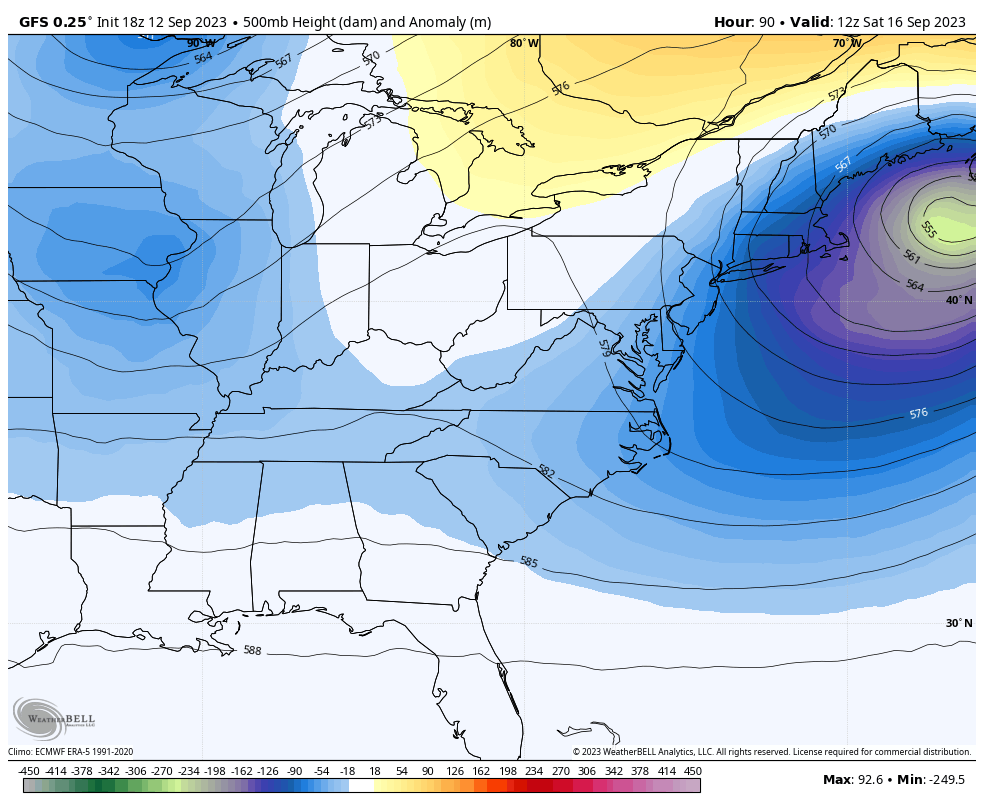
Another trough drops in here over the weekend into early next week with another trough likely developing in the middle to end of next week. This animation starts this weekend and goes through next Friday…
CANADIAN
The first system this weekend can produce some showers from late Saturday into Sunday. The system next week may also bring a few showers in here by the second half of the week…
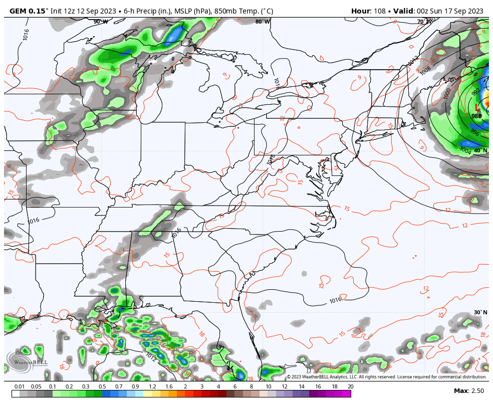
The GFS is actually on board with this general scenario playing out…
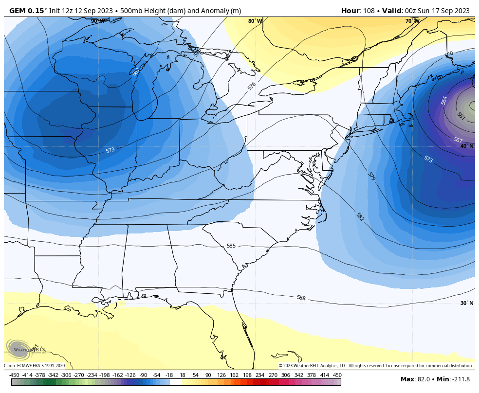
Hurricane Lee is a threat from New England to Nova Scotia. This storm is slowly weakening some, but the overall size of the storm is expanding…

The sheer size of this storm increases the impact across the northeastern part of the country. This area is within the cone of uncertainty with the NHC track of Lee…
The hurricane models continue to be a bit east…

The GFS Ensembles have more wiggle room toward the west…

Have a great day and take care.

I guarantee we’ve not seen our last 80° high. I’ll be sure to cook chili that day. #rebel
Thanks Chris. Hoping the troughs keep coming and continue to bring the delightful Fall weather. Yesterday, here in Maple we were bless with rounds of showers. Most welcome rains.
Putting all the damage aside, Hurricane Lee is a beautiful and well formed Storm, but hoping the Storm doesn’t cause too much of a disaster for Bermuda and coastal areas of the Northeast.
Enjoy your Chili lunch / dinner.
Computer not responding. Sorry for the duplicate AGAIN Chris.
For some reason, the blog won’t let me post a comment longer than one sentence…
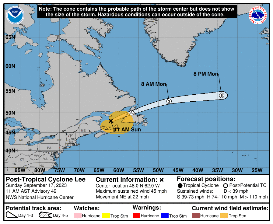
Lee is tracking towards New Brunswick, Canada, with landfall approx mid-afternoon near St. John, on the Bay of Fundy, which is home to the largest tides on the planet. High tide on Sat. is 1:33 pm local time, meaning they could be facing catastrophic flooding.
Today’s weather was not at all indicative of summer as a whole. Summer was not cooler than normal.