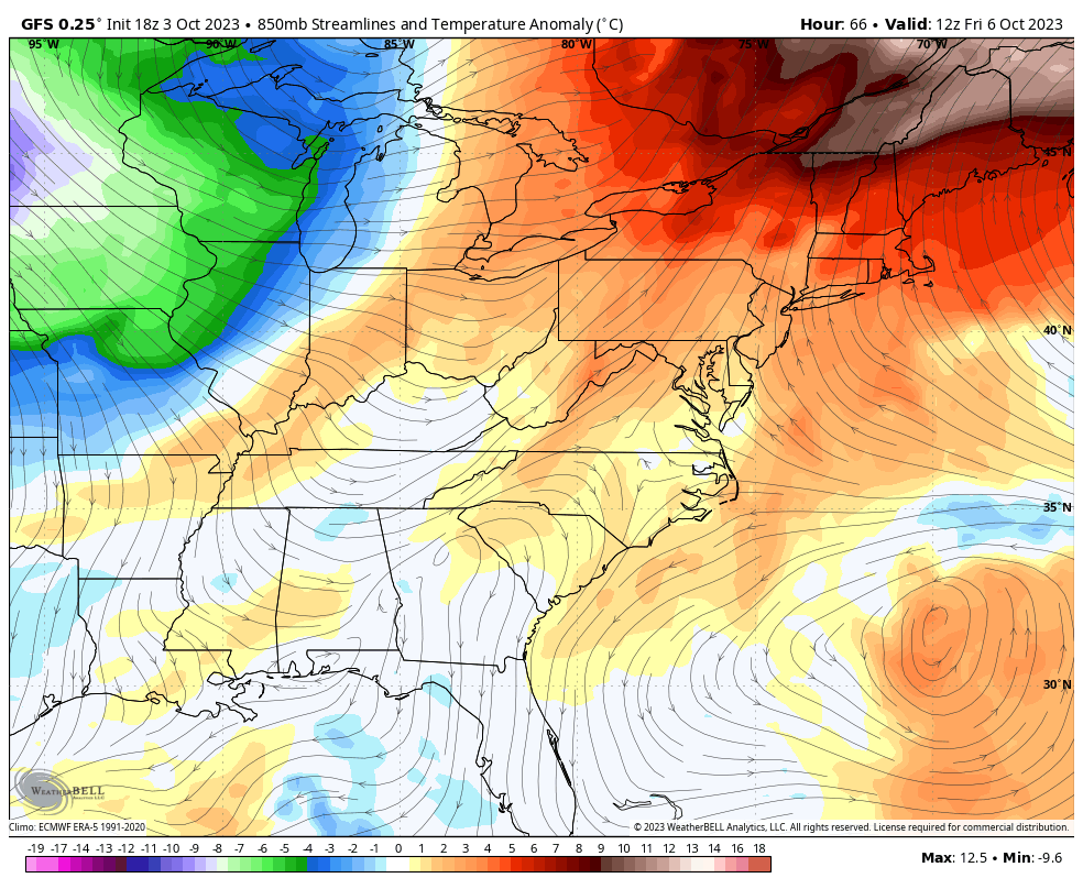
Good Wednesday, folks. Our temps continue to run on the warm side today as we await the arrival of a major fall storm system. This ushers in the coldest air of the young fall season and brings the threat for some frost into our region.
Let’s kick this party off with a word about today’s weather.
Clouds are rolling in through the day with temps back into the low and middle 80s for many. Winds gust up out of the southwest and there’s a small chance for a few showers getting into far western Kentucky before the day is over. The best chance is later this evening into the overnight.
As always, I have your radars on duty to follow any drops that show up…

Here’s a breakdown of how things play out from here:
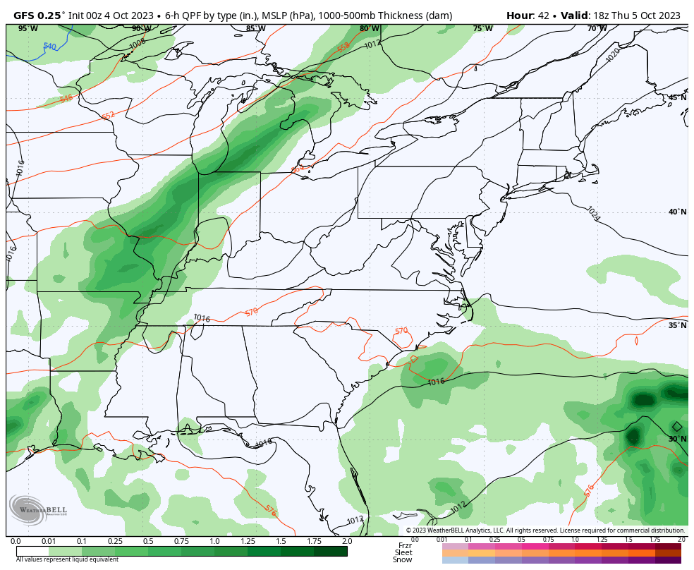
- Gusty showers and a rumble of thunder will sweep eastward across the region Thursday and early Friday.
- We are NOT looking at a washout by any means, but some folks may be able to squeeze out .25″-.50″. Others? Not so much.
- Temps crash from northwest to southeast on Friday. Highs Friday range from the middle 60s to middle 70s.
- The weekend is just flat-out cold for early October. Highs range from the upper 50s to low 60s. Lows reach deep into the 30s if skies are clear Saturday night and Sunday night.
- Some frost is very possible Sunday morning and again on Monday morning.
Here’s our push of November air coming in for the first weekend of October…
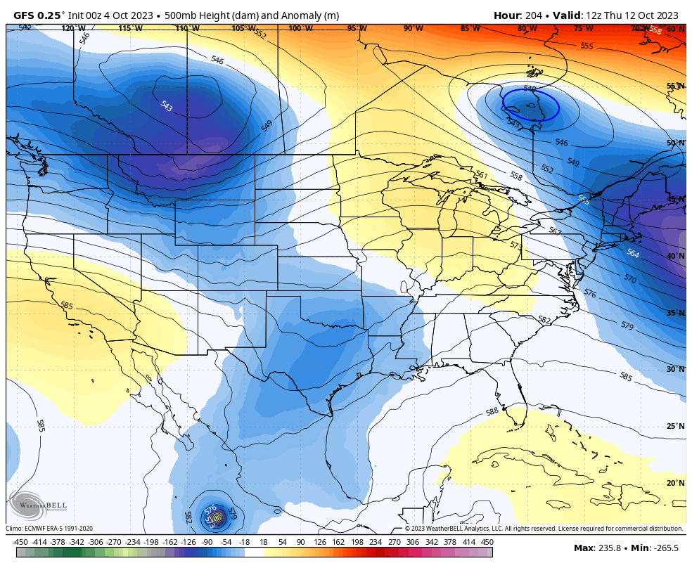
At the same time as this is happening, Tropical Storm Philippe is turning toward the north and likely gets drawn into this massive trough in the east. The end result is another tropical system impacting New England with a possible Main landfall…

Watch how all this plays out and even produces some snow in the Great Lakes and northeast…
That’s pretty wild and so is the potential showing up late next week into the following weekend. I’ve been showing the how the various ensembles are going toward another deep trough into the east and now the operational models are trying to get there in a rather extreme looking scenario.
Watch energy diving in from the northwestern part of the country and picking up something out of the Gulf of Mexico to form another mega closed low…
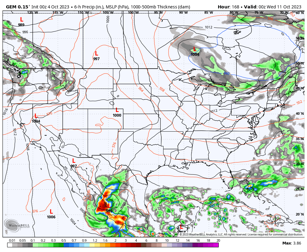
Here’s what that looks like at the surface on the GFS…

It’s interesting to note that the Canadian has almost the exact same scenario…
Blocks are doing some early October work!!
Have a wonderful Wednesday and take care.

KLEX recorded 90 yesterday. Yea right.
anyway – I’m looking SOOOOOO forward to the cooler temps. Just looked at the GFS next 10 days precip and we are only about .25 for ten days…. Obviously that could change.
I am also ready for Fall in a big way, and it looks like my sweet gum tree is as well, since it has put down a pretty substantial layer of leaves. Looks like I get to start leaf mulching season a little earlier this year.
And my PWS hit 88°F for the second day in a row. With dry leaves about to start flying, we could really use more than a measly tenth of an inch of rain. Fall brush fire season could get real dicey.
Mark, I have never seen 90 degrees in October ever. I think Lexington’s record high in October was 94 degrees set in 1911. Not sure of that though.
Especially with the strong northwest winds predicted this weekend. With all the ridging going on, a serious drought may be lurking. A drought like we had back in the Fall of 1987.
Trees are beginning to show color due to abnormal drought stress in the area. A Frost could bring more color in the next couple of weeks. No organized systems to bring much needed widespread rains to the State.