Good Thursday, folks. Rain slowly rolls across the state today as the first of two fall cold fronts get set to cross the region. These fronts bring a much colder setup for the weekend with the potential for Frost by Sunday and Monday mornings.
Today starts with the showers and a rumble of thunder increasing across western Kentucky. That action moves into central Kentucky this afternoon and evening and then into the east late evening and overnight.
Lingering showers will be noted across central and eastern Kentucky early Friday before slow-clearing takes place from northwest to southeast during the afternoon and evening.
Rainfall numbers during this time will range from .10″ to .50″, but a pocket or two has a chance to pick up a little more than that. We need some rain, so this will certainly help us out.
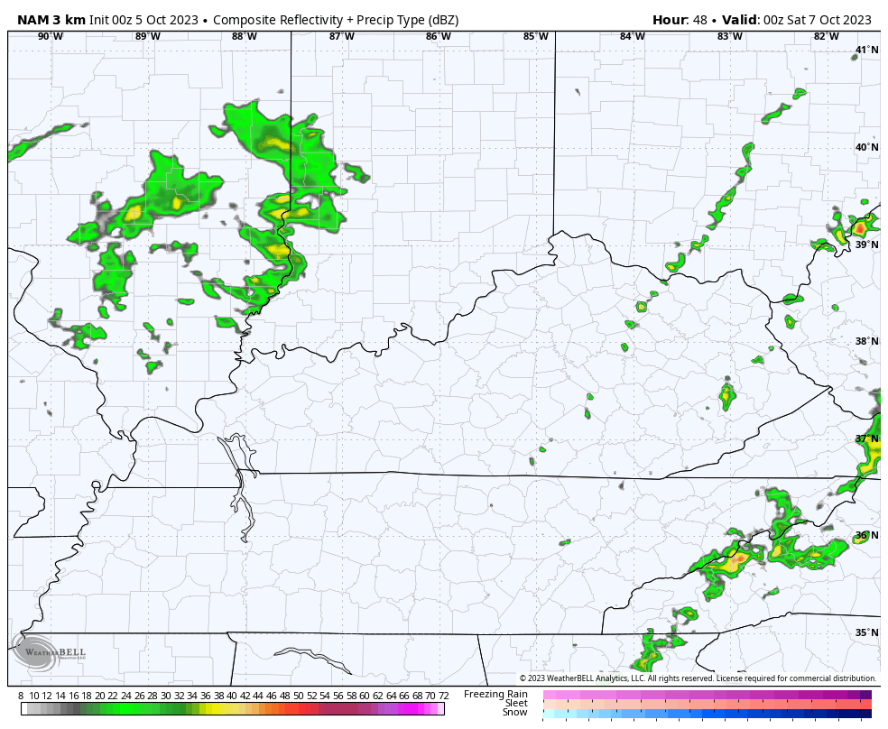
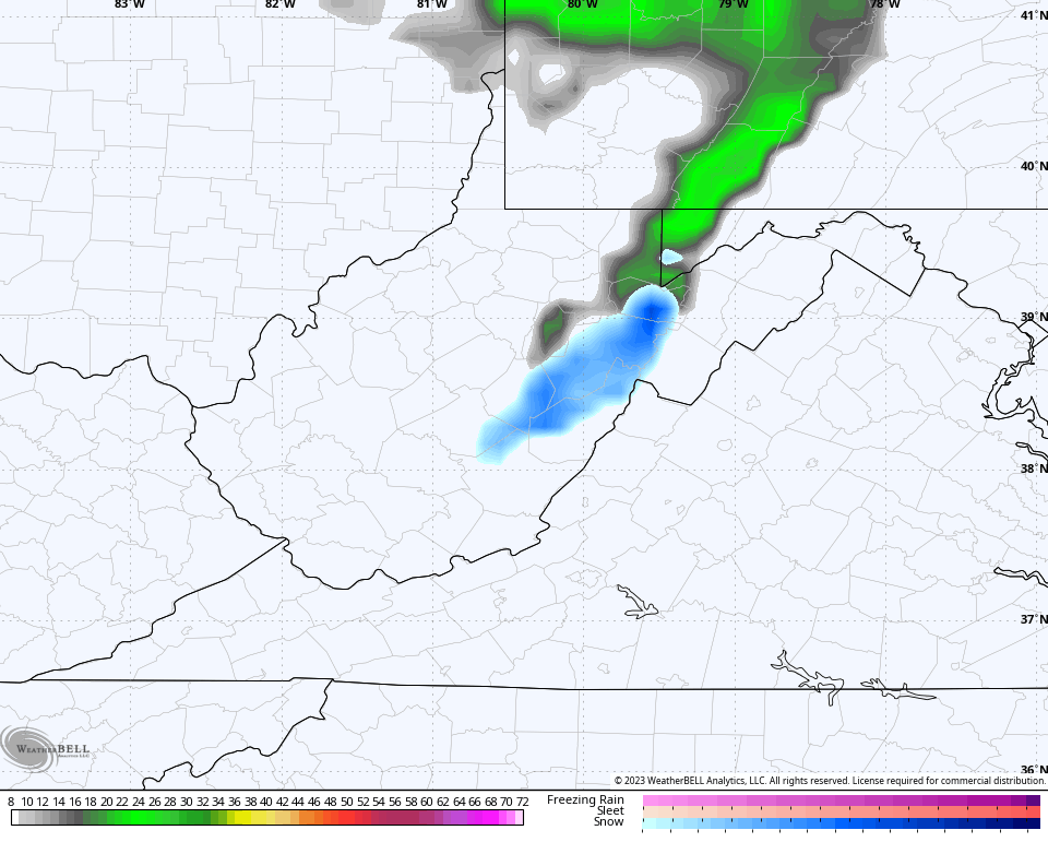
Here are your radars to follow the progress of today’s rain and thunder…

The second front works across the state Friday evening and some of the models have a disturbance following that up Friday night. The Future Radar from the Hi Res NAM shows only a scattered shower along the front, but has a quick-hitting round of showers with the disturbance behind it…
A strong northwest flow sets up behind this for Saturday and some clouds may linger across parts of central and eastern Kentucky. There’s even the chance for a shower, but it’s low right now. High temps are mostly upper 50s to low 60s, but if clouds are thick in the north and east, take the under!
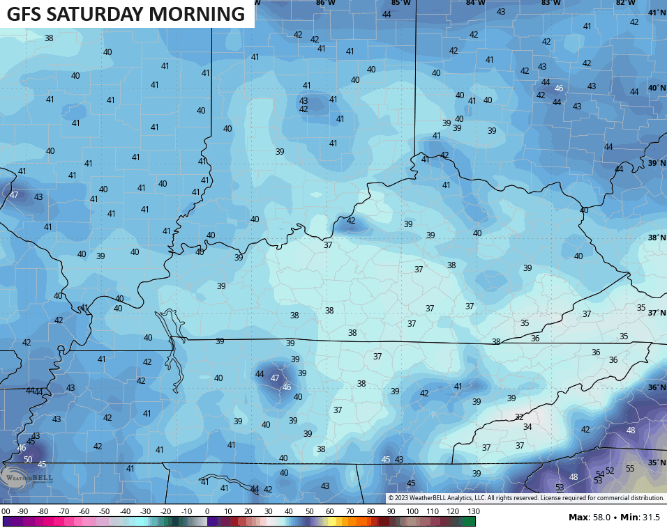
The colder than normal air sweeping in here for the weekend is straight out of November…
Lows by Saturday morning will likely reach the upper 30s in some spots…
The frost threat is the greatest by Sunday morning with readings deep into the 30s…
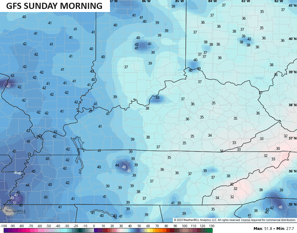
Some areas may make a run at the freezing mark Sunday morning.
This air is cold enough to produce the potential for the first flakes of the season into the West Virginia Mountains and that’s being picked up by the NAM…
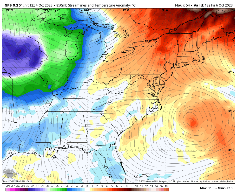
Tropical Storm Philippe gets pulled into the mega system spinning in the east as it hits Maine over the weekend…

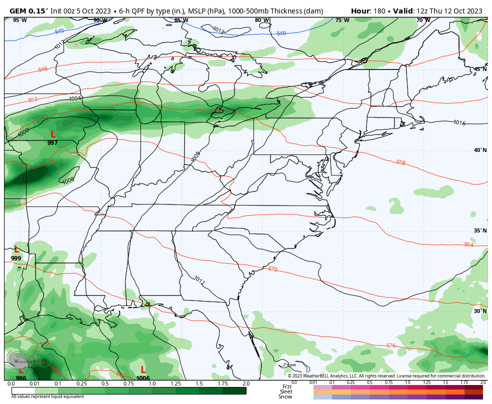
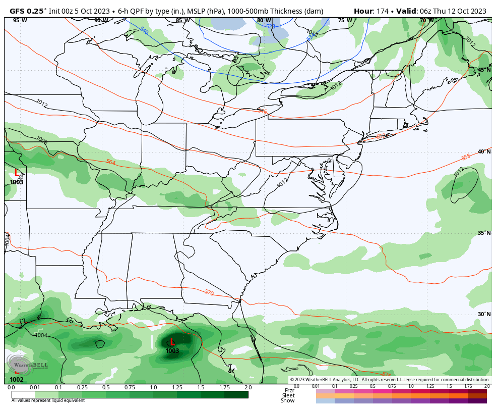
Our next system looks to come together for the middle and end of next week as another monster trough slowly swings into the region. This one likely hangs through next weekend…
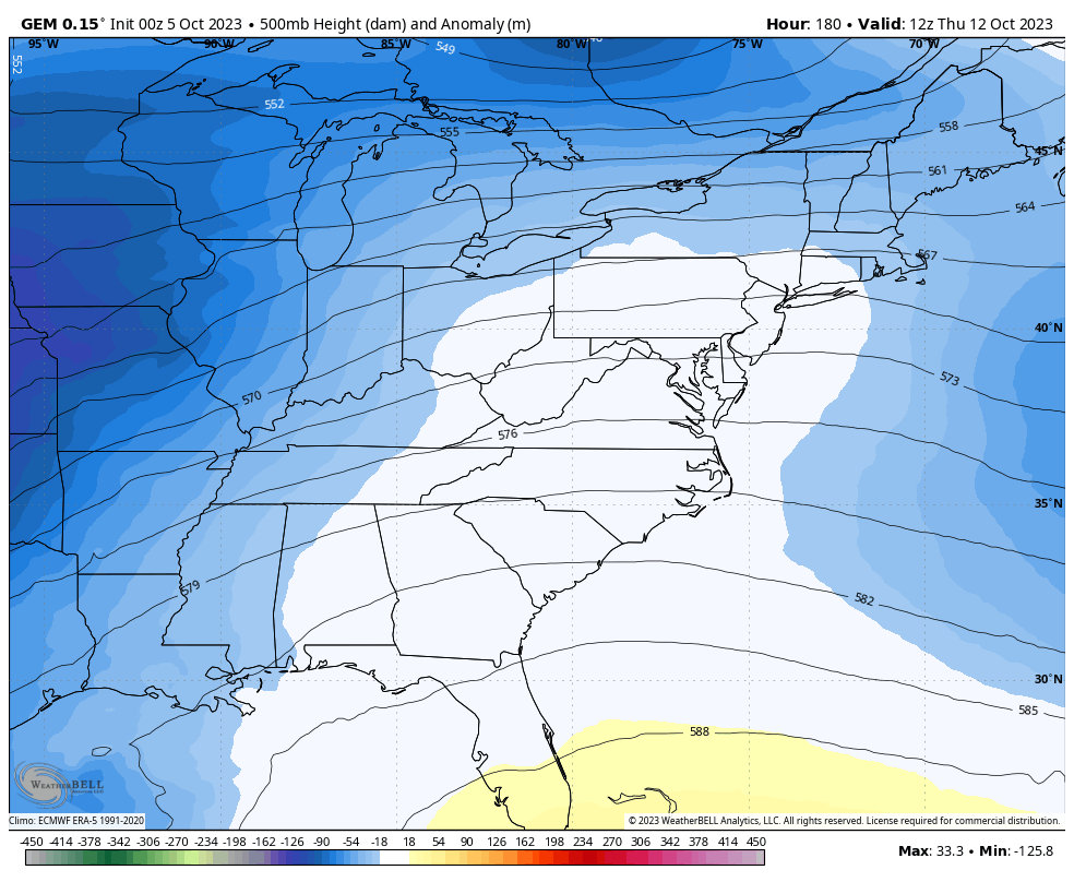
That kind of an upper level look is likely to spawn a significant fall surface low pressure and storm system. When I see looks like this, I’m wondering if we can get a big wind-driven rainstorm. The models are certainly going in that direction…
CANADIAN
GFS
Below normal temperatures will roll along with that setup.
I may throw you guys another update later today so check back. Have a great day and take care.

It’s starting to get real.
Thanks Chris. I made some notes and found that the Jet stream is in the same position as it has been in the past several years. I would like to know whatever happened to the Subtropical Jet stream, which brings low pressure systems with widespread precipitation to our area ? In a real El Nino year we would have had a Subtropical Jet stream that is Amplified by now. I trace the cause to a very negatively charged Pacific. Maybe it will change sometime late Winter or Spring. Don’t know.
Northwest flow fronts hardly ever bring good soaking rains to our area, but will bring nice Fall like temperatures into our region with the potential for our first Frost, only if the winds become calm early Sunday morning.
Getting light to moderate rainfall here in far western,ky. Looks like most of day rainmaker just what we need and headed east to you folks that lives central and eastern part of the state.
I don’t know if the precipitation is reaching the ground ( virga returns. ) We have a current dew point of 61 degrees. Too dry. This morning I was coming back from town, and saw that a fire has started along the road close to some large pine trees. When I returned home I called it in. I haven’t heard anything, so I guess they ( the Fire Department ) extinguish it before it spread to other areas of the Forest. I sure hope we get a good soaking rain. Best chance is not until next weekend.