Good evening, folks. I wanted to drop by for a quick update on the current system rolling across the region. This is bringing showers with it through early Friday as we await the arrival of a blast of November temps for the weekend.
Showers are along and ahead of a cold front and will hang around into the first part of your Friday. Here are your radars to follow along with the wet weather…

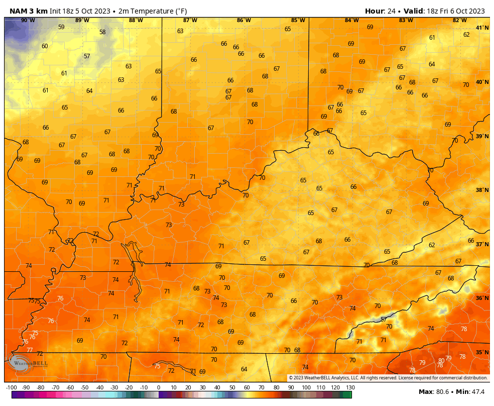
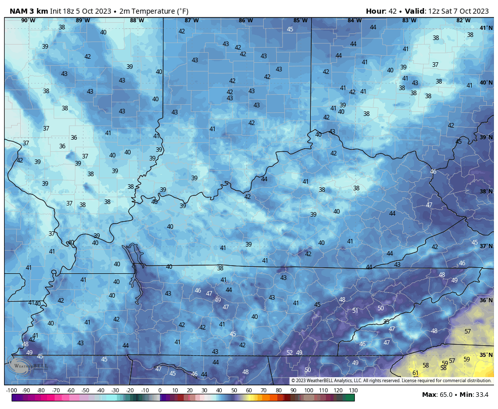
The second cold front slams through here late Friday evening with just a narrow band of showers working through. This front then drops our temps in a big way. This animation from the Hi Res NAM goes from 2pm Friday through 8am Saturday and shows temps dropping into the upper 30s for some…
Saturday is just a chilly day with most areas staying in the 50s before a quick drop into the 40s during the evening. This animation from the Hi Res NAM goes from 8am Saturday through 11pm Saturday…
This sets the stage for a Sunday morning frost for much of the region. That means from frost on the pumpkins…

I will touch on where the pattern goes from here with my overnight update. See you guys then. Make it a great evening and take care.
