Good Friday, folks. We’ve made it to the end of the week and that big change is finally here and is bringing some significant cold for this time of year. A frost threat continues for the weekend, especially Sunday morning.
Our day starts with showers across parts of central and eastern Kentucky as cold front number one sweeps across the region. These showers will slowly wind down from northwest to southeast into the middle of the day with some afternoon sun taking over.
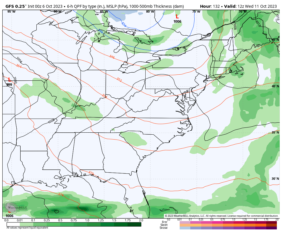
Here are your friendly Kentucky radars to track the showers…

Temps this afternoon range from the upper 60s to low 70s for many, but those numbers vary based on exactly when the clearing gets into any one location.
The second cold front gets in here during the late evening hours and that’s when the temps really drop. Readings behind this tank into the upper 30s and low 40s by Saturday morning…
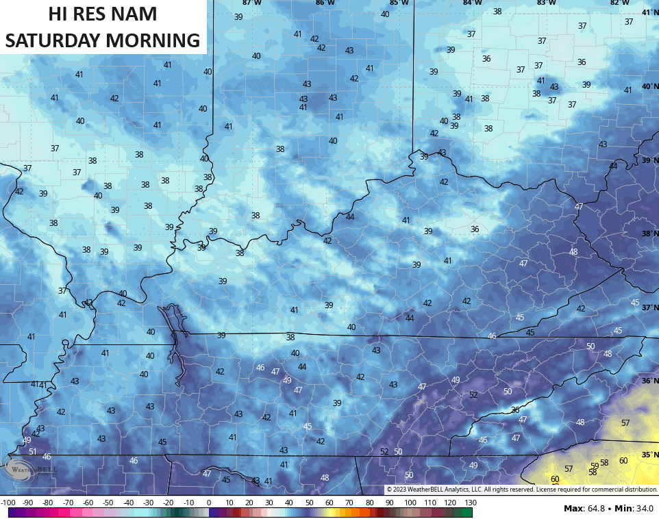
Saturday highs stay in the 50s for much of the state with just a slight chance for a shower or two showing up in the north and east. That comes from that big cut off system spinning across the Great Lakes and into the northeast.
Frosty cold temps are a good bet by Sunday morning with some areas heading into the low and middle 30s…
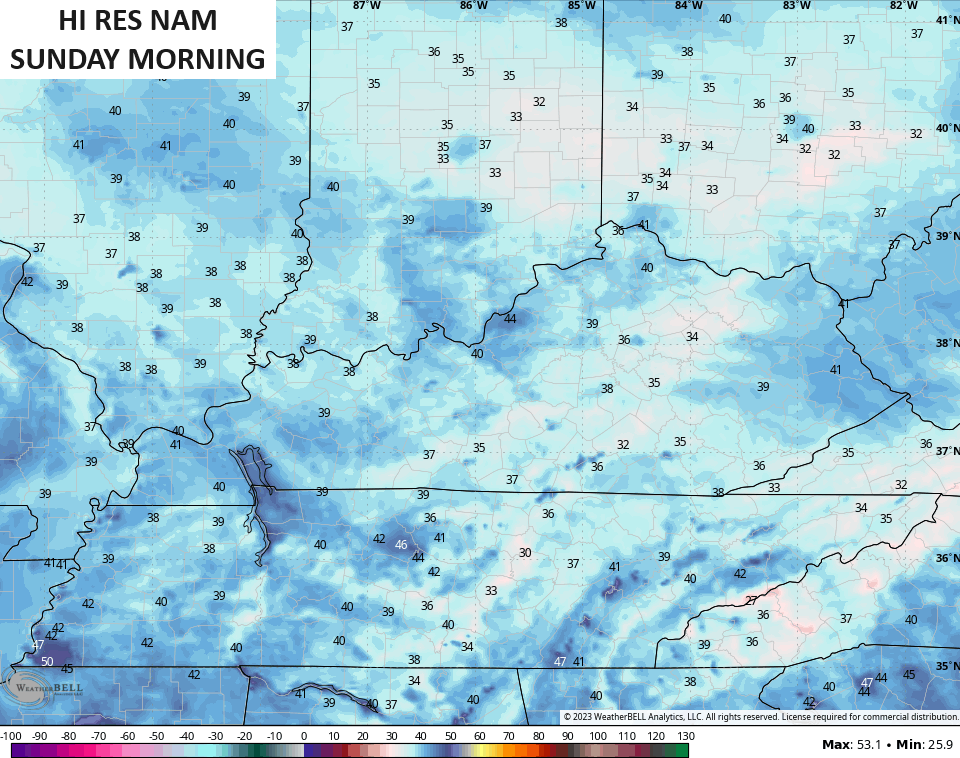
Highs Sunday are in the upper 50s to low 60s for central and eastern Kentucky with mid 60s west.
The big upper low will continue to spin across the Great Lakes and northeast into early next week. There’s a little disturbance riding underneath this and that may spawn some showers for our Monday. You can actually see these disturbances spinning around the monster upper low…
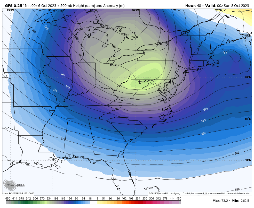
That’s ridiculous to see this time of year and would be impressive to see in the winter months.
As that pulls away, we find another monster upper level low likely coming together late next week into next weekend…
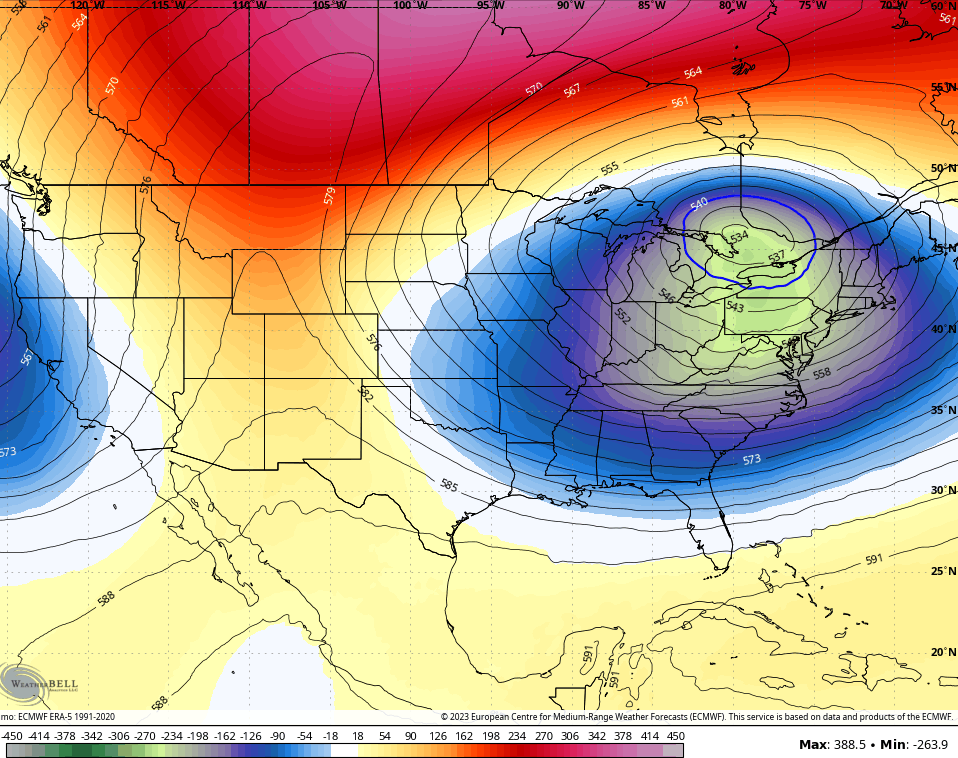
Exactly how we get there is a work in progress, but we are likely to see a major fall storm system impact our region. This is something the models continue to show, even as they differ on how they handle this storm…
The potential is there for this to produce high winds, strong storms and heavy rains around here before cold air crashes in behind the storm.
All of this is a result of of significant blocking going on across the Northern Hemisphere and is something we’ve been talking about on here for a while now.
I will throw you another update later today so check back. Make it a fantastic Friday and take care.

This was really the LEAST mother nature could do… we got 0.01 … there’s a little bit on radar… hopefully there will be at least a little more. Wow.. One extreme or the other here.. that’s for sure. never EVER a happy medium. LOL
Mark, we received only 0.04 ” in the last 48 hours. Most of the good rains fell well to our North and West. I hate to bring this up, but it looks like the dreaded ” Southeast Ridge ” is kicking in just in time to spoil our Fall and Winter again. Don’t know.
.07 in the last 48hours for me.
Here’s the Drought outlook for my area of the State. It’s the worst I’ve seen. The category is ” Drought Persist. ” I can’t find any forecast that’s positive, so until I do I will reframe from posting.
https://weatherstreet.com/drought-outlook-us.htm
.09” fell in the last 24 hours. And to think I bothered to rearrange my outside work schedule so I wouldn’t get wet.
System’s not letting me post more than a short sentence…again!
I’ll try again later…
Same thing happens to me most of the time. This computer I purchased last Spring is a piece of sh*t made in China.