Good evening, folks. I promised another update and I’m a man of my word (mostly😜 ). Cold air is slamming into the region from the northwest and brings a weekend straight out of November. This happens as I focus on another big system likely later next week.
The second front moving in this evening has limited moisture with it but can still pop an isolated shower. Here’s your regional radar to follow along…

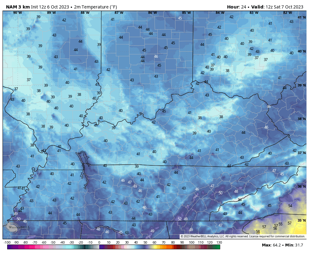
Temps then tank as this boundary passes. Readings by Saturday morning drop into the upper 30s and low 40s. Highs Saturday afternoon only rebound into the mid and upper 50s across the eastern half of the state with some low 60s in the west.
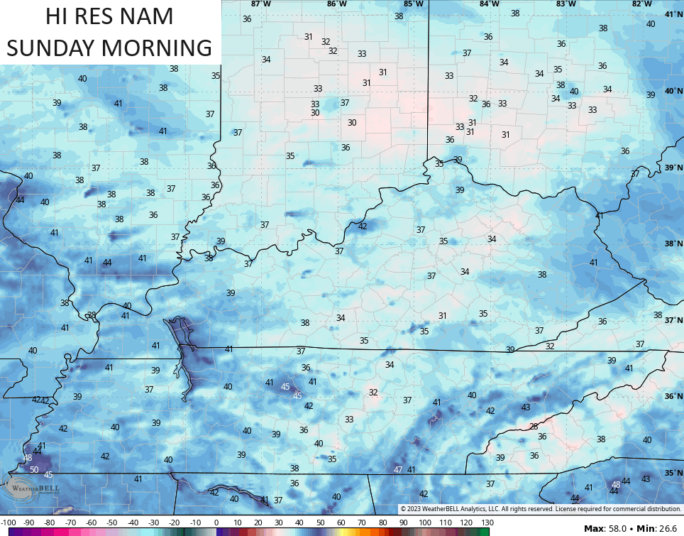
This temp animation from the Hi Res NAM shows the numbers from 8am-11pm Saturday…
Frost is a good bet Saturday night and Sunday morning as temps reach the low and middle 30s for many…
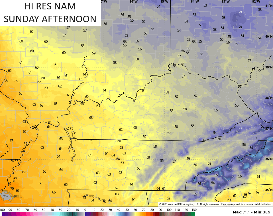
Sunday is another November looking and feeling day with highs in the upper 50s and low 60s…
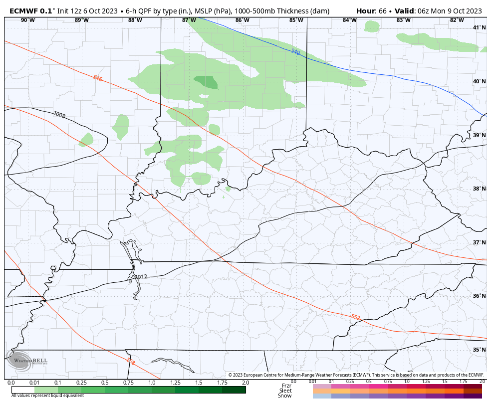
Clouds will thicken as the day wears on and that’s ahead of this system zipping through here late Sunday night and Monday. This should spit out a few gusty showers…
Frost is possible behind that once again by Tuesday morning as readings drop back into the 30s.
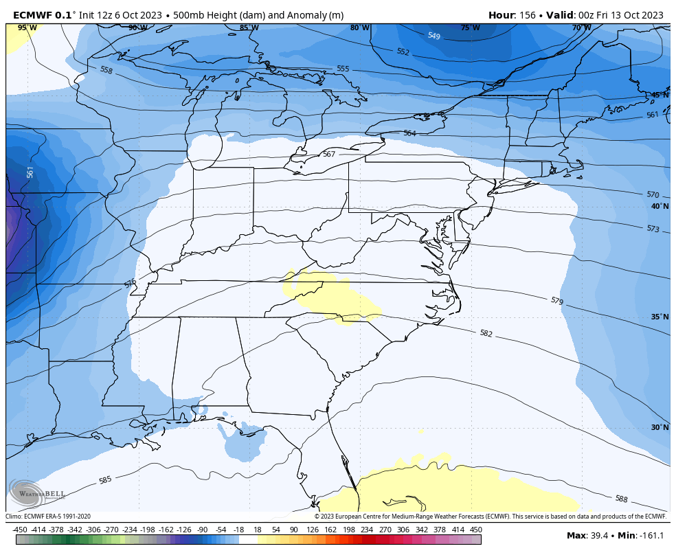
Winds gust up Tuesday and Wednesday as a powerhouse storm system develops to our west and southwest. This is ahead of another bowling ball of an upper low spinning in here late week into next weekend…
Gusty winds, strong thunderstorms and heavy rain are possible as that moves in. Cold air comes crashing in behind it with another November looking and feeling setup likely next weekend.
I’ll go more into that later tonight.
Have a great rest of your day and take care.
