Good Saturday and welcome to the weekend. It’s a weekend of weather that’s more typical of early November than early October as our temps go well below normal. This comes with the increasing threat for Frost early Sunday across much of the region.
Our Saturday starts with that cold air taking control as temps reach the upper 30s and low 40s. A mix of sun and clouds will be noted through the afternoon with thermometers only reaching the mid and upper 50s for central and eastern Kentucky with upper 50s and low 60s west.
The clouds will be a little more prominent across the north and east and there’s even the chance for a few showers to go up, especially during the afternoon hours. Here are your radars for the day…

With clear skies and fairly light winds taking over tonight, temps look to drop deep into the 30s for most of the state. I fully expect a few spots to make a run at the freezing mark, especially in those valleys. Any area picking up on some clouds or fog will be a bit warmer than everyone else. Still, this is a full-blown frost threat so take all precautions with tender plants and vegetation.
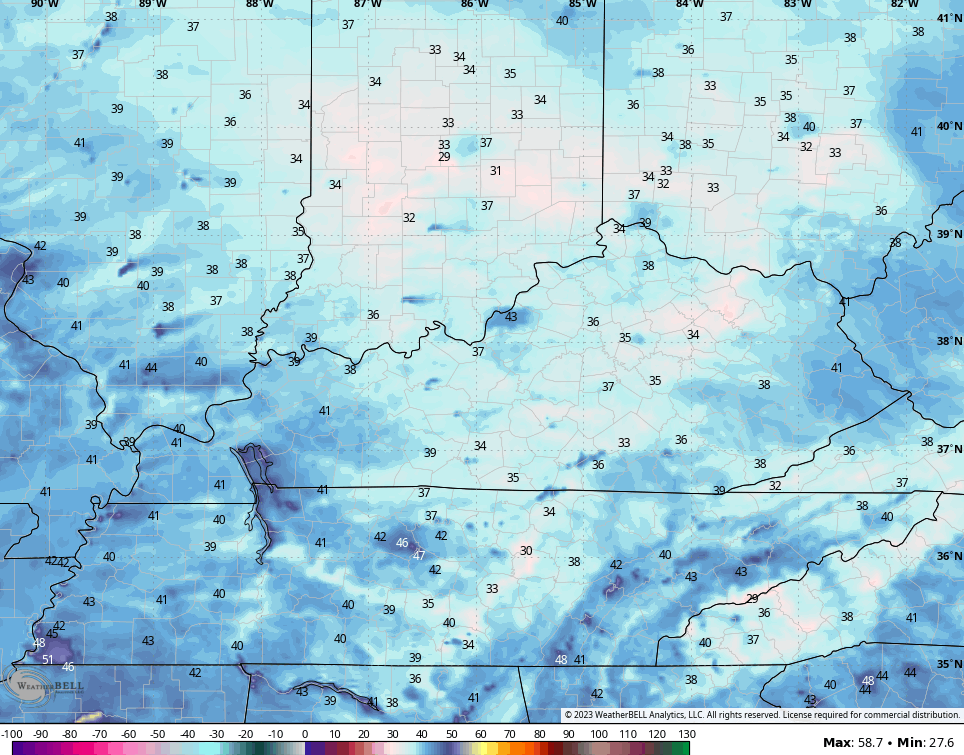
Here are the low temps from the Hi Res NAM…
Sunday afternoon features a few clouds rolling in from the northwest and this may keep parts of central and eastern Kentucky from getting to 60 again. The west will reach 60-65 for the most part.
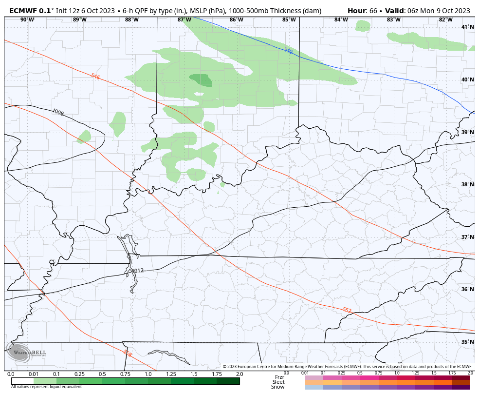
A clipper-looking system drops in from the west and northwest Sunday night and Monday and brings a few showers into the region…
Monday is another below normal temperature day.
As that system moves away, another shot of frost will be possible by Monday night and Tuesday morning. Temps drop into the 30s once again.
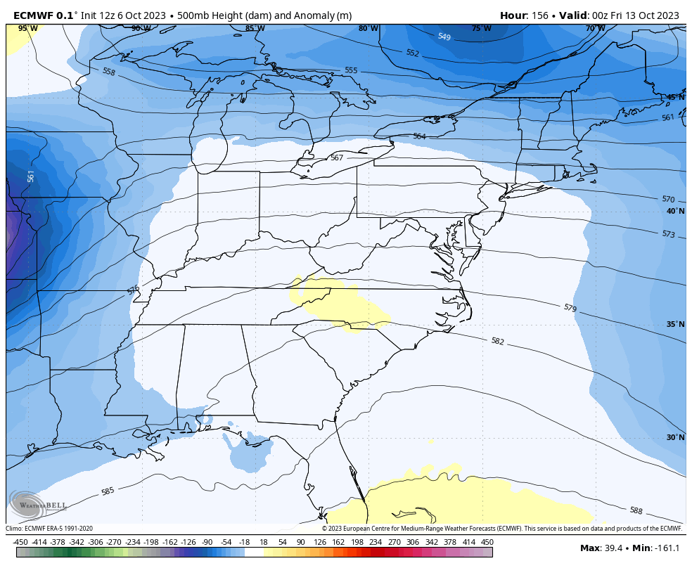
Winds turn gusty late Tuesday and Wednesday as milder air fights in ahead of another monster system likely to move in here late this week into next weekend. This is yet another monster upper level system…
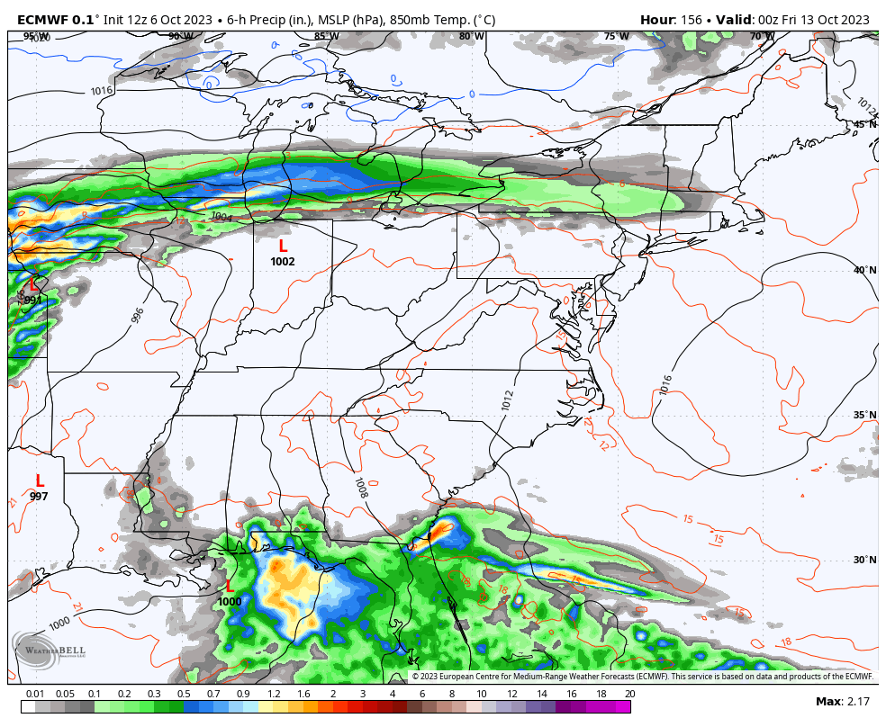
The result at the surface is for a potent storm system to come together and rumble through our region. Exactly how this plays out is still to be determined, but the impact could be gusty winds, strong storms and heavy rains followed by another blast of November temps…
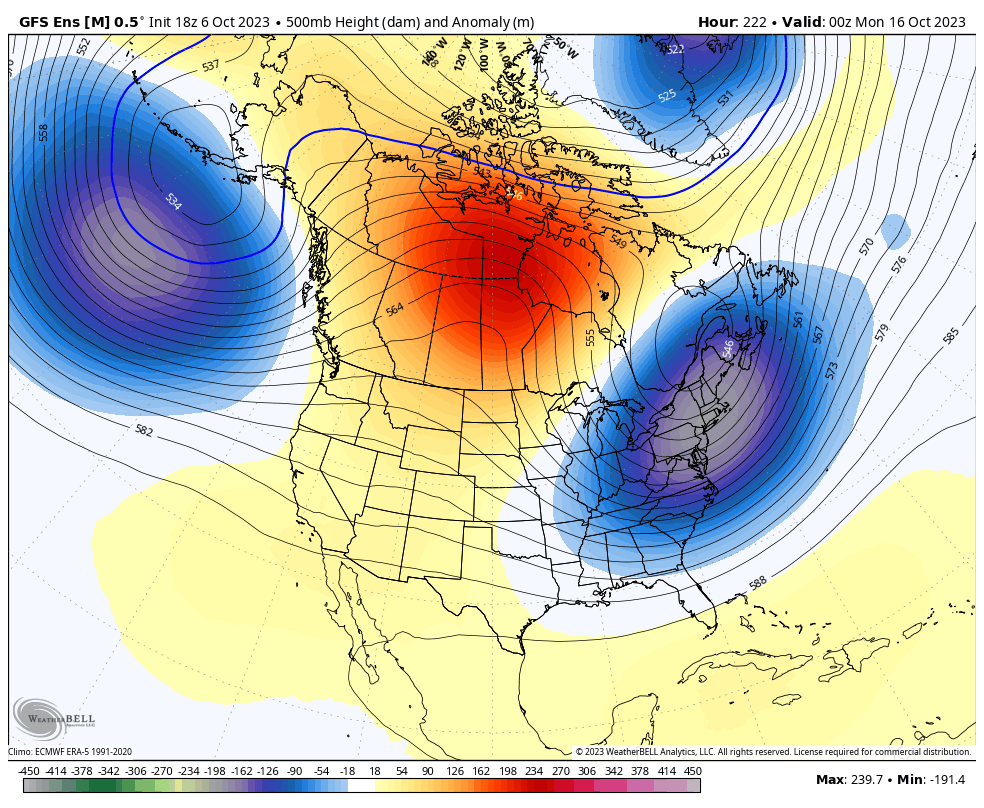
Once that behemoth of a trough finally pulls away, this pattern does not want to give up. One of the reasons is the steady presence of a big low near the Aleutian Islands of Alaska. The alignment of this pretty steady setup allows the ridge to continue to flex across western North America, allowing the trough to keep dipping into the eastern half of the country…
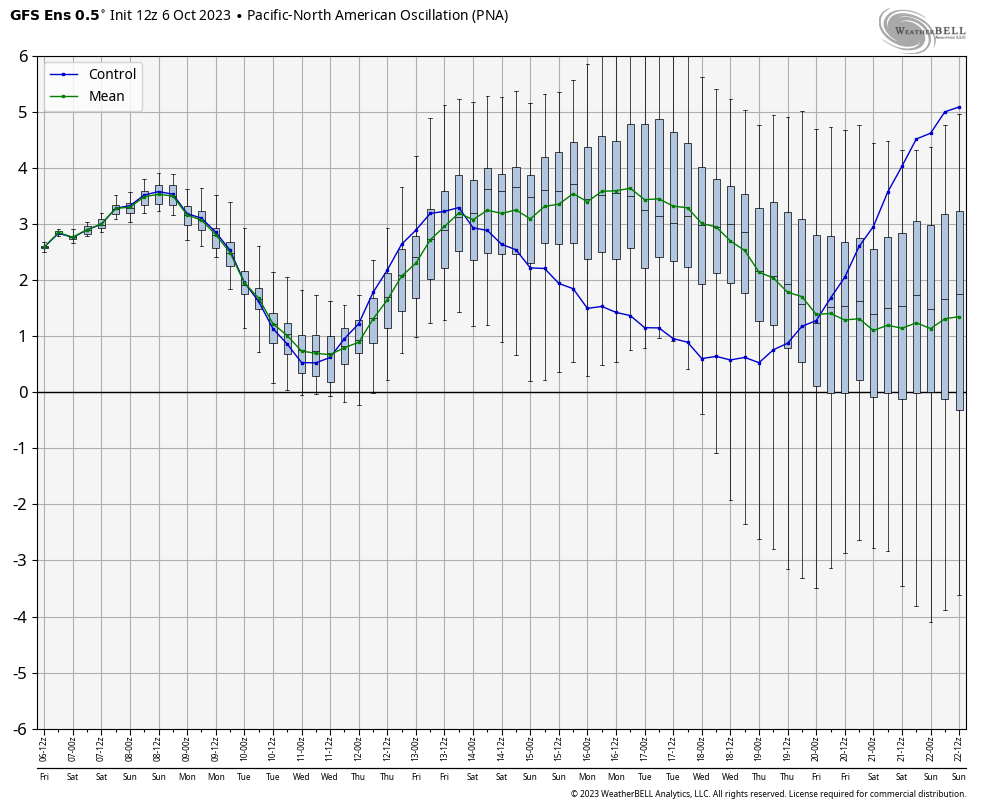
As long as we see the PNA spiking positive like the GFS Ensembles have it doing over the next two weeks…
And the EPO going back into negative territory…
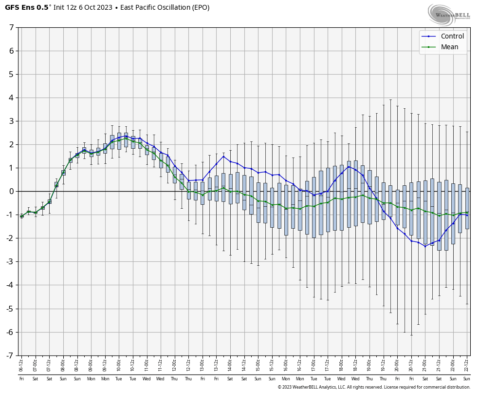
We will continue to see troughs digging into our region and across the east.
I may throw you another update later today, so check back. Have a sensational Saturday and take care.

Still hanging tough in the mid 40s in Richmond currently.
39° now
From the KY Mesonet website. Very impressive for the first significant cool spell of fall.
Top 10 Air Temperature Minimum (since Midnight)
Precip.
# Location Value
1 Graves County 34.4 ° F
2 Grayson County 35.3 ° F
3 Harlan County 35.6 ° F
4 Cumberland County 36.2 ° F
5 Webster County 36.4 ° F
6 Meade County 36.5 ° F
7 Adair County 36.6 ° F
8 Butler County 37.0 ° F
9 Casey County 37.7 ° F
10 Pulaski County 37.7 ° F
That’s even colder than what the temperatures were in the Chicago Metro Area this morning, with lows in the low 40s.
Dang I walked outside and it me it was cold.
Just received frost advisory for the area.