Good Sunday, folks. Frost is on the pumpkins in many areas to start the day as our taste of early November weather continues. As we look down the road, the pattern turns more active with the significant blocking doing some work over the next few weeks.
Temps this morning are deep into the 30s for many areas with some spots liking reaching the 32-degree mark or a bit lower for the first time this season. Temps this afternoon hit 60-65 in most areas with some clouds rolling in from the northwest. These clouds are ahead of a fast-moving system that brings a few showers across the state tonight and Monday.
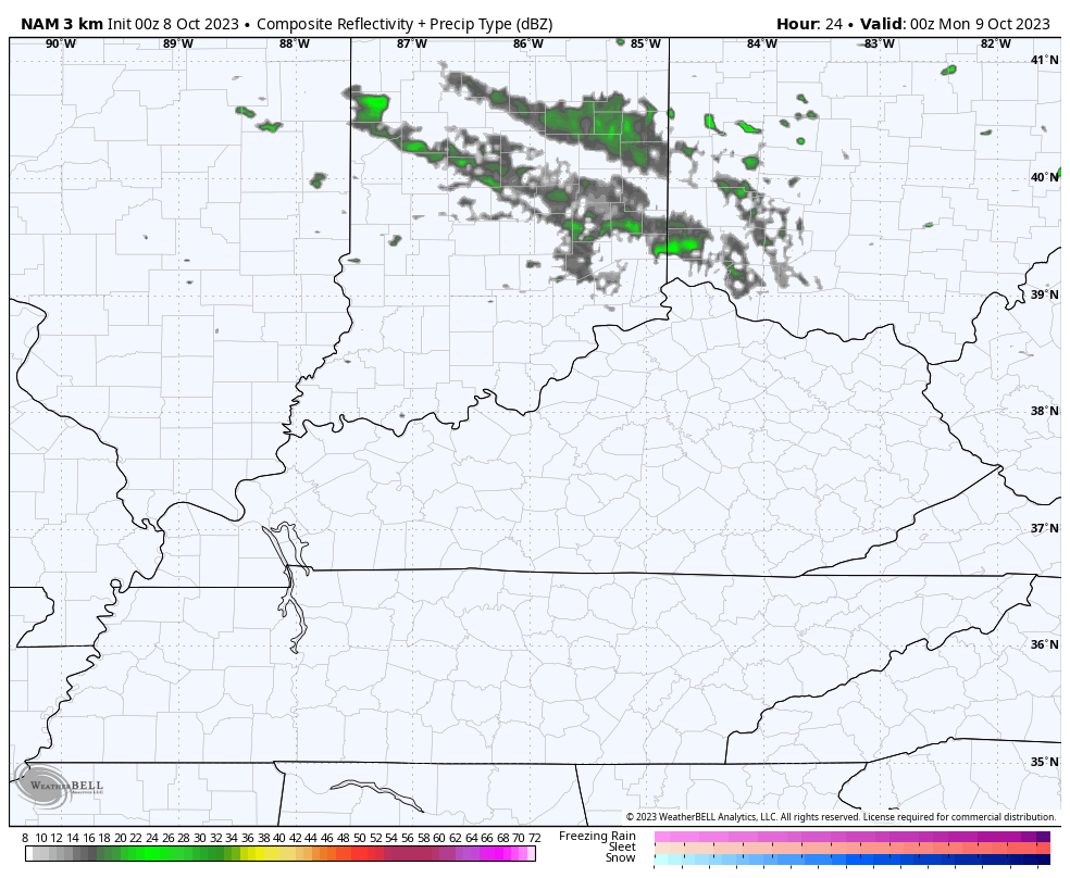
This stuff is fairly scattered and will mainly impact central and eastern Kentucky. This shows up well on the future radar from the Hi Res NAM from 8pm today through 8pm Monday…
Once this system rolls through, we see another frost threat coming into the picture for Monday night and Tuesday morning.
Temps rebound as we head into the middle of the week as southwest winds gust up ahead of our next storm system. This is with another massive trough set to engulf the region and the eastern half of the weekend next weekend into the following week…
The surface setup with this is a bit complicated by more than one storm system. We have a developing low in the Gulf of Mexico and a plains low pressure developing at the same time. What interaction, if any, do we get between these two? That’s the question to be answered over the next few days.
The latest trend on the models is to keep these separate until they try to play a game of “meet me in New England”…
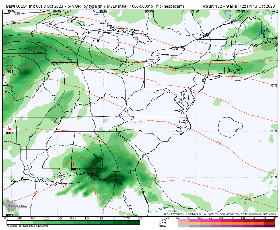
This scenario would mean a few renegade showers and storms possible by Wednesday with the bulk of the action arriving at the end of the week into the weekend. Showers and storms, some of which could be strong, would then sweep across the state as another taste of early November temps show up…
I will throw you another update later today. Until then, I have your radars on duty to follow any shower developing to our northwest…

Have a great Sunday and take care.

Thanks Chris. Our minimum low this morning here in Maple was 35 degrees. Frost did not materialize because of some cloud cover during the minimum temperature occurrence, or maybe some light winds occurred at that time. Don’t know. Not expecting any Frost tomorrow morning.
I found the Subtropical Jet Stream down in the Gulf of Mexico moving West to East coming off the equator. Could this be an indication of El Nino beginning to react with the Atmosphere ? If so, it’s a little too far South to merge with the Polar Jet Stream to give us a phased storm that we really need for rain. So far the troughs and fronts that we have been having this Fall have not produced the good rains in my area, but areas to the North and West have benefitted. You mentioned in this morning Blog that the two systems will come together somewhere in New England. That scenario indicates a ‘ Split Flow ” of the two Jet Streams. In other words our moisture from the Gulf is cut off.
I brought my sage, parsley and rosemary in to the garage just in case, but no frost here either.
The last low temperature I checked was 38 but it may have went even lower then that.