Good afternoon, folks. My time is limited, but I wanted to drop by for a quick update as we track our big system into town for the weekend. This brings us a true November look and feel for the weekend and early next week.
Winds are cranking as our storm system gets closer. It’s bringing a line of showers and rumbles of thunder into western Kentucky. This will roll eastward overnight and early Saturday, but don’t expect a lot of rain at all with this.
Here are your radars to follow along…

After a brief break in the clouds and some sun, clouds quickly roll back in from the northwest and bring a few showers in here late Saturday into Saturday night. This stuff is really light and may be more misty than anything else.
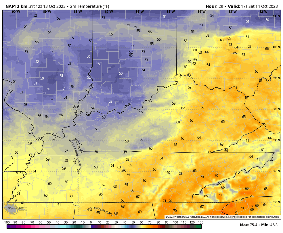
The temp trend during this is down and in a hurry. This animation shows the temps from Noon through 11pm Saturday…
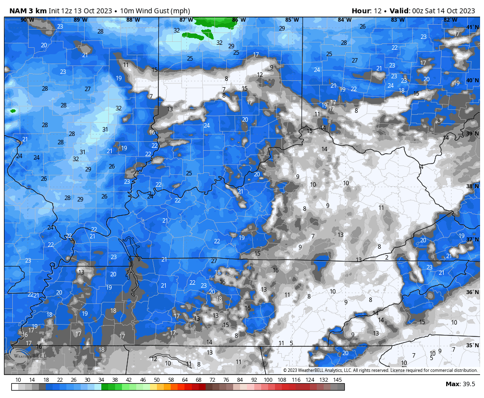
Winds will be very gusty over the next few days. Gusts tonight reach 30-35mph at times with northwest and northerly flow pushing gusts of 20-25mph at times Saturday and Sunday. These are the hourly wind gusts from 8pm this evening through 8am Sunday…
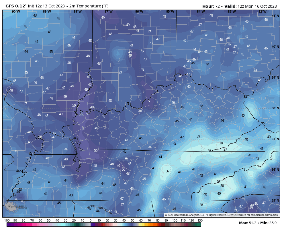
Sunday is chilly with temps in the 50s. With the upper low spinning on top of us Sunday night and Monday, there’s a chance the eastern half of the state doesn’t get out of the 40s Monday…
With a gusty wind, a wind chill will actually be noted!
I will get into the longer range stuff with my next update later tonight. Make it a good one and take care.
