Good Saturday, everyone. Big changes are blowing across the region today as our November pattern takes hold. This brings gusty winds, falling temps and a few showers… And that’s just today. This pattern is locked through the weekend and early next week with another deep system next weekend.
Right out of the gate, we have a few showers working across central and eastern Kentucky to start the day. As these scoot to the east, a period of sun and clouds takes over for an hour or two. From there, clouds work back in from the northwest very quickly with some scattered showers coming back in this afternoon and evening.
Today’s rain isn’t very heavy or widespread, but the showers will be out there from time to time. Here are your radars for the day…

Temps start in the 60s today but fall through the 50s from northwest to southeast this afternoon and evening. Winds will be rather gusty and may reach 20-25mph at times. Those same gusty winds continue into Sunday with highs in the 50s with a shower or two.
As the upper level low drops in Sunday night and Monday, it brings a surge of even chillier air with it and an uptick in showers. Some of the short-range models have been showing some flakes at along the high ground of the Appalachians from West Virginia to North Carolina. Well, the Hi Res NAM is trying to spit out a few Sunday night flakes on top of Black Mountain in far southeastern Kentucky…
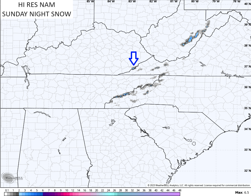
I give that a low chance, but anything is possible at elevation 4,145 feet. 😜
Strong northerly winds continue on Monday with highs in the mid and upper 50s west to upper 40s in parts of the east and southeast. A couple of showers will be noted once again.
Tuesday is another chillier than normal day as the main push of November air begins to pull away to our northeast. This opens the door to a couple of very nice days with normal temps for Wednesday and Thursday.
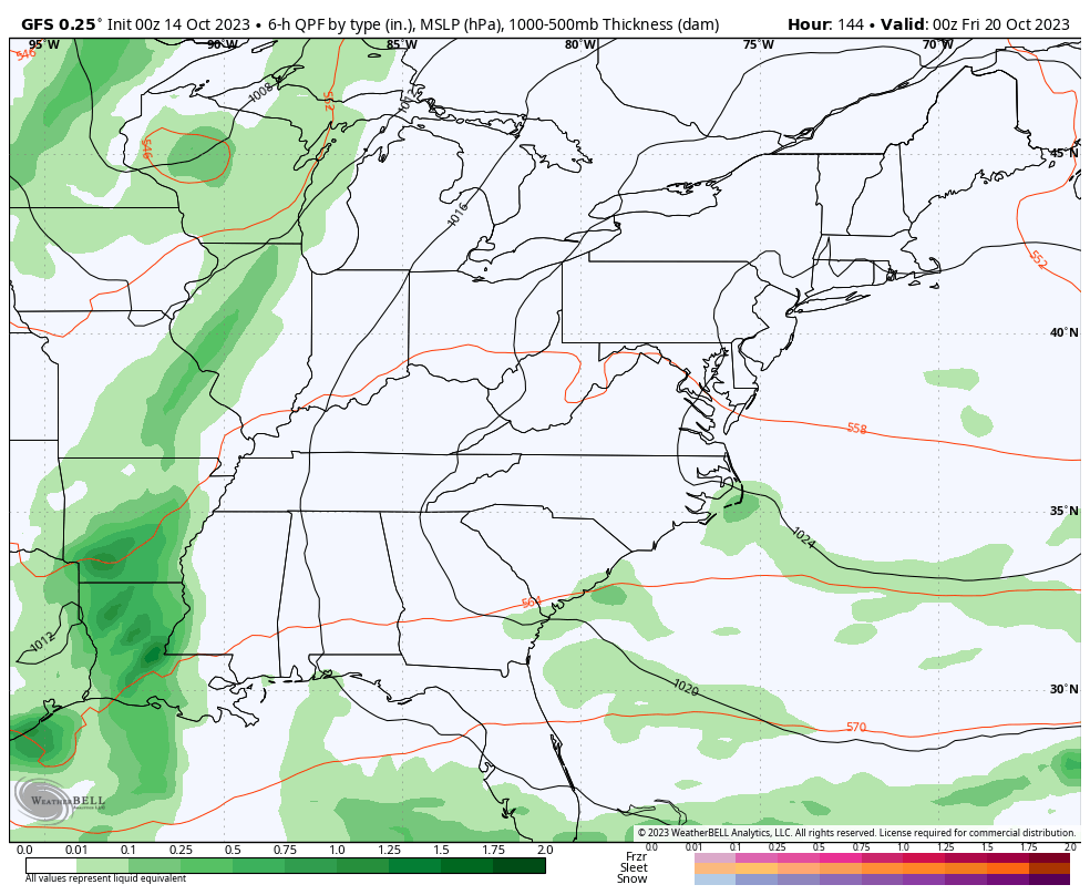
This is ahead of the next big storm system rolling in here from Friday into the coming weekend. This is courtesy of another massive upper level system spinning in here…
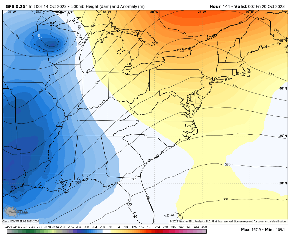
This will fire up a fairly intense storm system that makes another run at bringing some much needed rains to the region…
That’s a lot of wind and chilly weather coming our way. Again, if we get something like that one month from now… Look out.
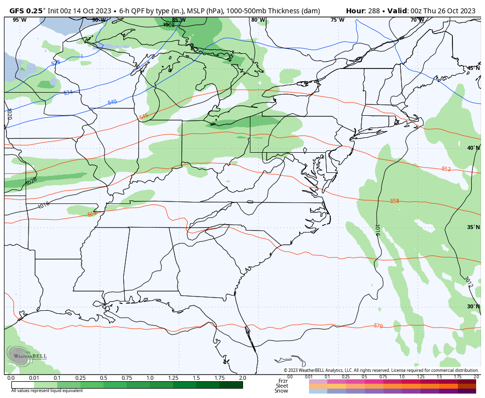
Speaking of looking out, the ensembles have been hinting at an even deeper system possibly forming the final week of the month. That one could have more cold air to work with and this is something the past several runs of the GFS has been showing…
I will try to throw you another update later today, so check back. Make it a good one and take care.

Ready for a hard freeze to end the mowing season. 😉
The rain moved through the Chicago Metro Area on Friday at a pretty progressive rate, limiting rainfall totals to under an inch throughout the area.
More wrap-around rain is expected through early afternoon, making today the fourth straight day of rain here.