Good afternoon, folks. November numbers continue to surge in from the northwest and they’re bringing gusty winds and chilly showers along for the ride. This pattern is settling in for the next several days.
Our day started with some beneficial rains with .25-.50″ in many areas of central and northern Kentucky.
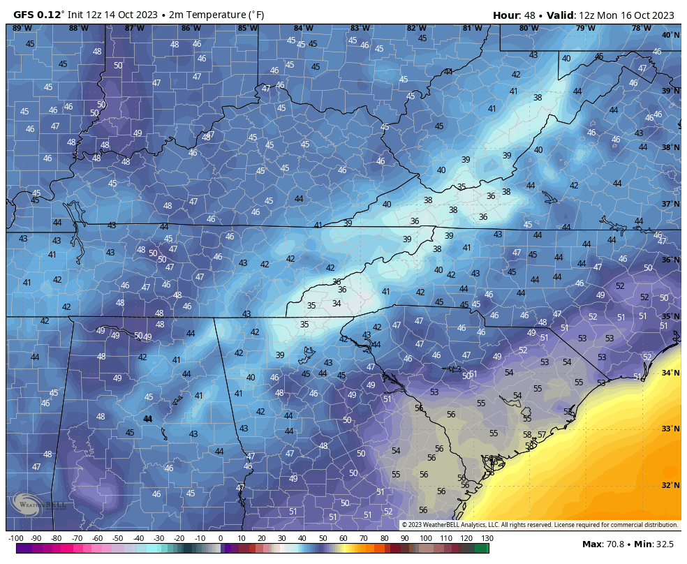
Temps continue to drop through the 50s from northwest to southeast this afternoon as scattered showers drop in from northwest to southeast. These showers aren’t terribly widespread, but will dampen things up for some of us through the evening.
Here are your radars for the rest of the day…

Winds are still gusty through Sunday and may reach 20-25mph at times.
A few showers will be around with an increase in showers Sunday night and Monday as the upper level low drops in from the north. This may even throw the first flakes of the season on top of Black Mountain in southeastern Kentucky.
Highs on Monday may not get out of the 40s across areas of central and eastern Kentucky…
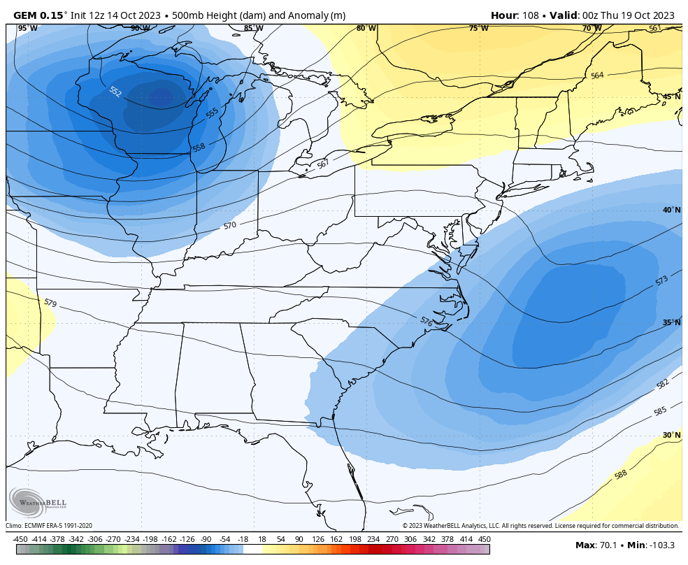
The next mega-trough is on deck and ready to push in here late this week into the weekend. The models are still a few days away from having a full grasp of the setup and are waffling on where to put the trough…
Enjoy the evening and take care.
