Good evening, folks. It’s a day straight out of mid-november and this pattern carries us into the first few days of the week ahead. By the end of the week, here we go again. Another big storm system looks to target the region.
Scattered showers are out there right now and this action increases some tonight into early Monday as a huge upper level system drops in. Here are your radars to follow along…

Temps are downright chilly with highs on Monday back into the 50s for much of western and central Kentucky and some upper 40s as good as it gets across parts of the east and southeast.
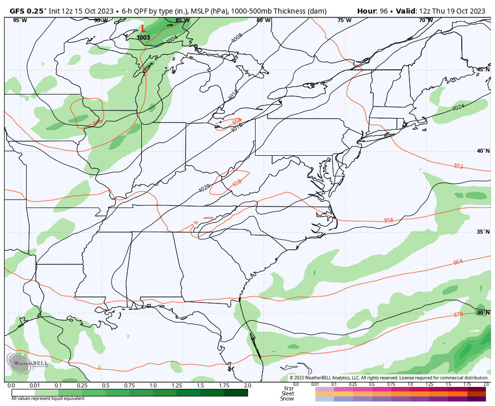
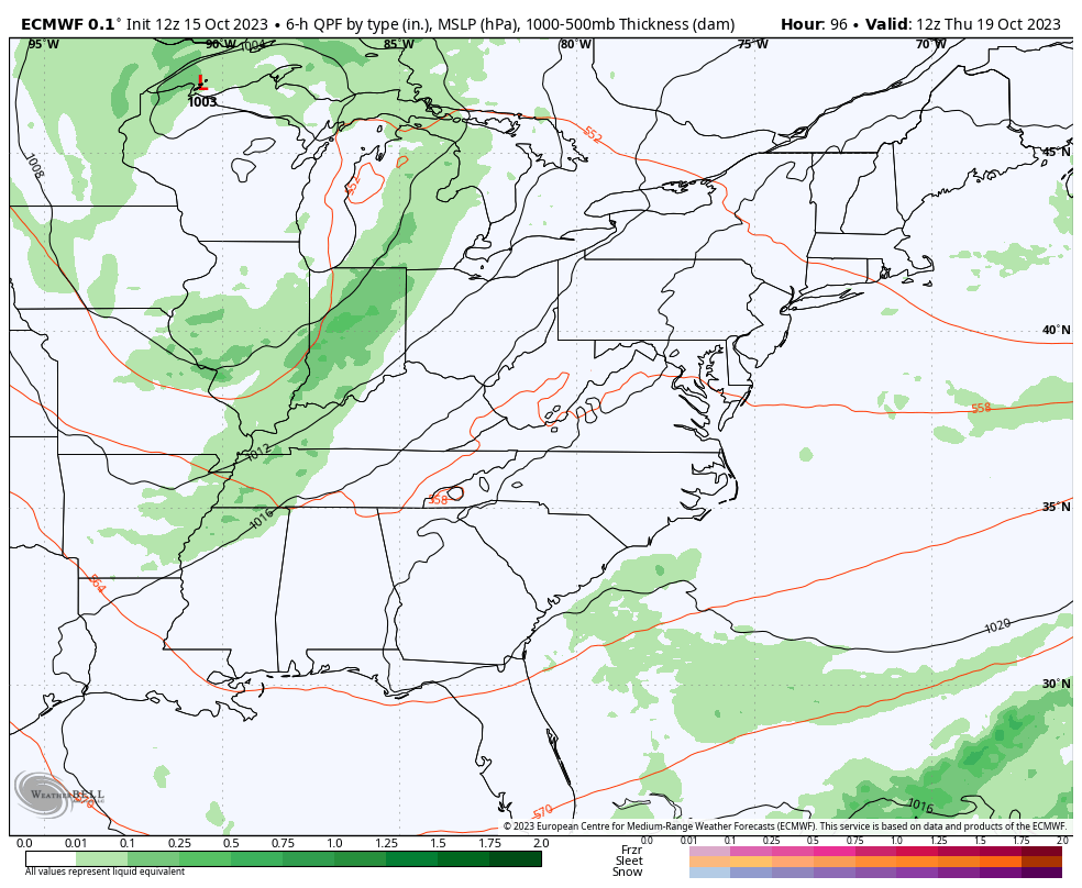
Another massive upper level system brings more wind and chilly temps from late Thursday through the upcoming weekend. This also looks to spawn a big storm system but the models are still trying to figure out the usual timing and placement issues…
GFS
EURO
Enjoy the rest of your chilly and raw Sunday and take care.

Not a bad week ahead.