Good evening, everyone. Clouds are slowly breaking and that bodes well for better weather for all of one day. That’s right… One day and that’s your Wednesday. By Thursday, another big storm system is set to roll into the region.
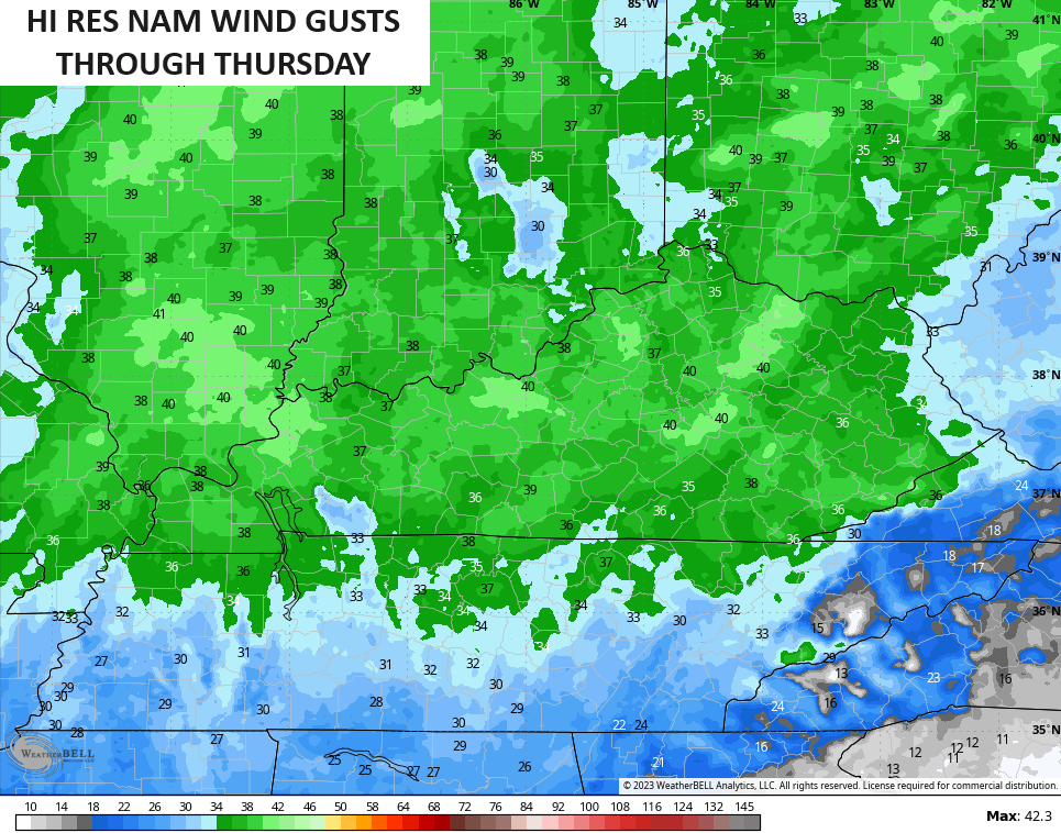
Highs for your Wednesday are in the 60s with a few clouds rolling in from the west. Winds will gust up along and ahead of our cold front dropping in here for Thursday. Gusts Wednesday night and Thursday will likely top 35mph at times. The Hi Res NAM has some 40mph gusts…
Scattered showers will be noted along the Thursday front that slows down Thursday night and Friday. This happens as a wave of low pressure develops along it and brings an increase in rain and some thunder for our region. The greatest rain chance is across central and eastern Kentucky…
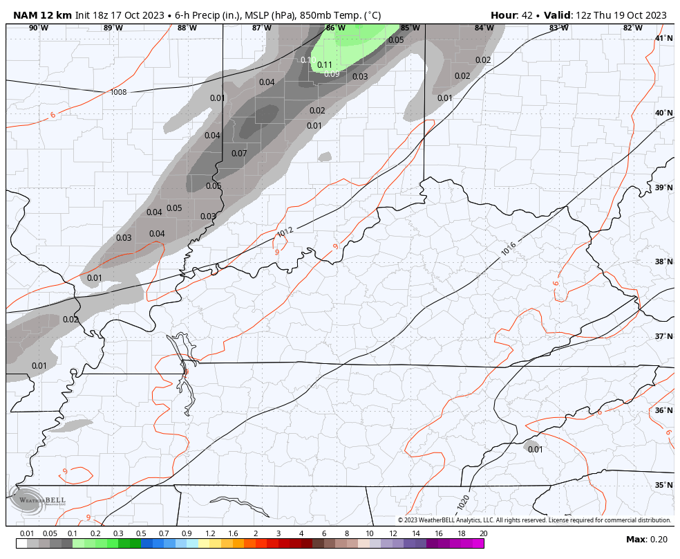
At the end of that run of the NAM, you can see a clipper looking system dropping in from the northwest. This may bring another swath of showers in here at some point on Saturday, but the models are having timing and placement issues with that.
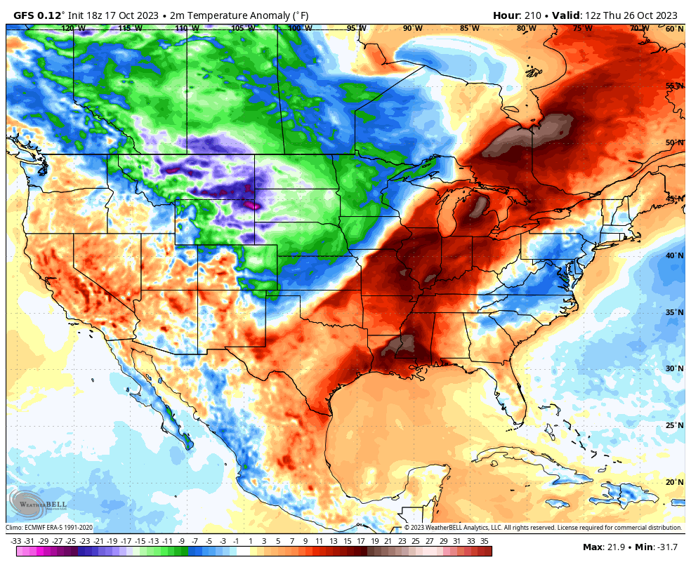
Milder winds kick in early next week and continue through much of the week before another big change blows in late next week into the weekend. Watch how above normal temps quickly go below normal behind this massive cold front…
Have a great evening and take care.

It’s a decent chance that I might miss out on the rain Thursday.