Good Thursday, folks. It’s a very windy day as another fall cold front rolls across the region. This front is bringing some much needed rain our way through Friday with a weaker system set to follow over the weekend.
Winds are gusty today as our front works across the state. Gusts of 30mph or a little better will be possible through the evening.
A broken band of showers slides across western Kentucky this morning and will increase late this afternoon and evening into central and eastern parts of the state. That’s when some rumbles of thunder will also be possible and that continues into Thursday night.
Wraparound showers would then be noted in central and eastern Kentucky on Friday before ending from northwest to southeast.
This Future Radar from the Hi Res NAM starts at 8pm this evening and goes through 8pm Friday…
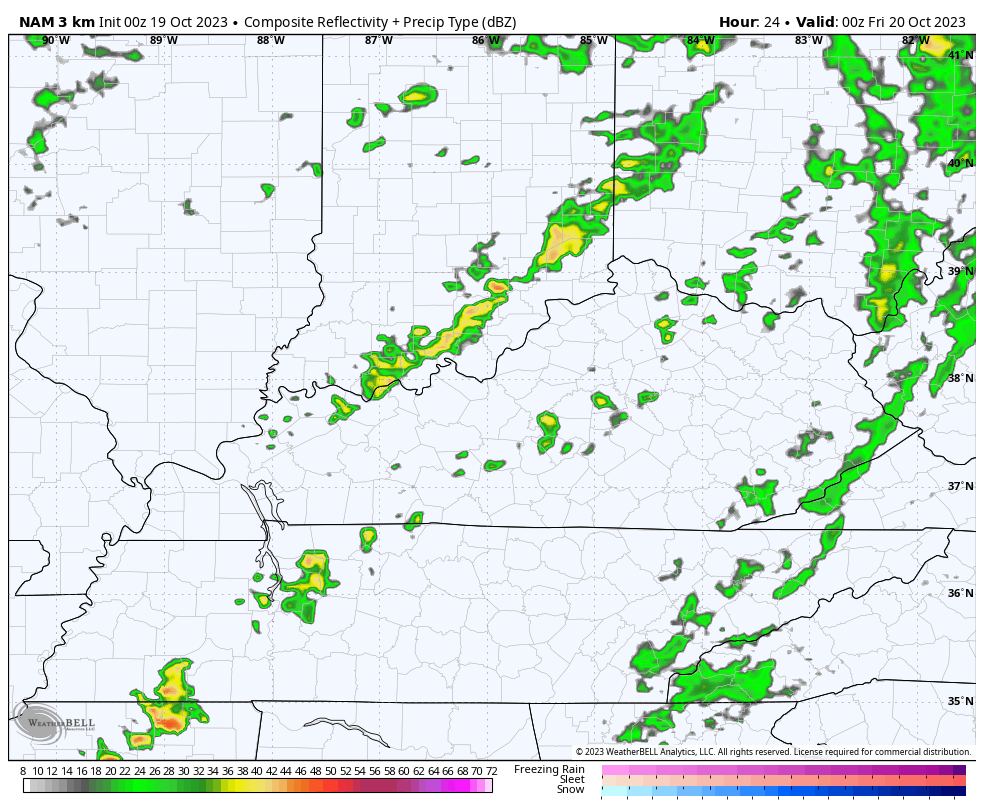
Most areas in central and eastern parts of the state should pick up .25″-.50″ of rain. Some areas can certainly do better than that and we certainly hope that’s the case.
Northwest winds on Friday usher in chilly air with temps struggling to get out of the 50s for many. This temp animation starts at 8am Friday and goes through 8pm Saturday…
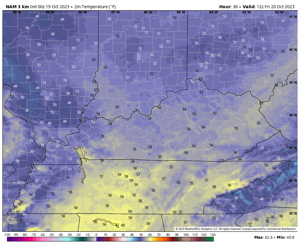
The clipper for Saturday may wind up tracking a bit farther north, meaning less showers and more in the temp department. Highs should reach the 60s before any late day shower chance, which is small.
Temps come back down for Sunday with a mix of sun and clouds. This sets the stage for frost Sunday night and Monday morning. Temps can make a run at the freezing mark…
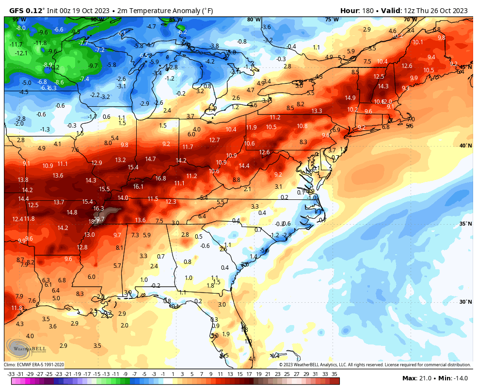
Next week then looks amazing. The fall colors will be reaching their peak as we get dry weather and temps ranging from the upper 60s to middle 70s across the state. Wow!!!
Exactly when that ends is open for debate, but a lot of cold air is going to press into our region, likely by next weekend. That said, the GFS is throwing one shot at us late Thursday and Friday before the full load arrives…
I will have another update later today. Until then, here are your radars to track the showers into the region…

Have a great day and take care.

The band of rain moving into WKy. at 3:30 est hopefully sticks together.
That line isn’t looking very impressive this morning at 8am.
You’re right as soon as the line near Louisville & points south it busted up.
The NAM and the actual radar this morning do not make me optimistic about rain chances for South Central Kentucky, and I continue to be concerned about increasing brush fire chances from the buildup of tinder dry leaves. If you’re in South Central or Western Kentucky, be very careful with fire. If you burn leaves, make sure you have a hose nearby!