Good evening, folks. Mild winds are taking control of the pattern and will hang tough through the rest of the week. This mild pattern comes before a big change lurking later this weekend into early Halloween week.
Let’s start by looking back at a frosty morning across Kentucky…
Many areas dropped below the freezing mark this morning. Here are the top 10 coldest readings from the Kentucky Mesonet. #kywx pic.twitter.com/l8fe5iTVki
— Chris Bailey (@Kentuckyweather) October 23, 2023
Highs in the days ahead are into the 70s with a gusty southwest wind that can boost the numbers to 80 in a few spots of the west.
The threat for a few showers and thunderstorms will show up around here by Friday and Saturday as a front sags in from the northwest…
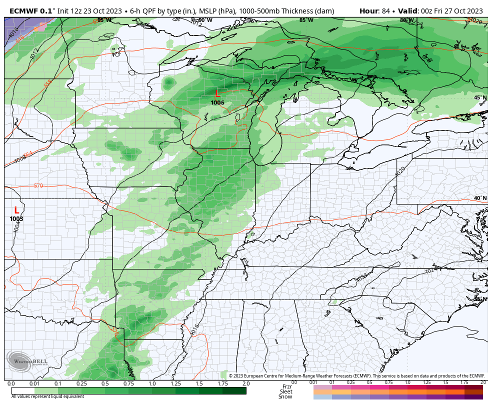
The ful blown system won’t cross the region until Monday with widespread rain and wind, leading to cold air crashing in behind it…
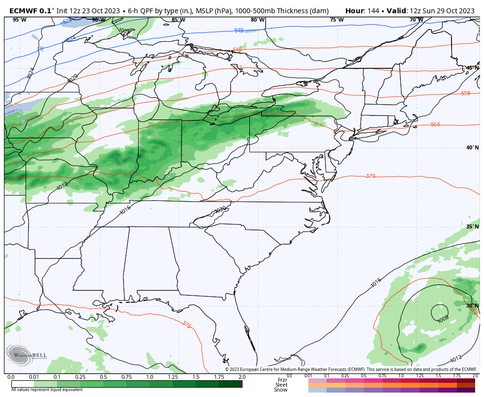
The forecast models are still trying to figure out how to handle a weakened Tammy. The latest forecast from the National Hurricane Center looks like this…

It’s interesting to note how the hurricane models and the ensembles have changed to show this system being pushed northeast quicker than what they had been showing…
HURRICANE MODELS

GFS ENSEMBLES
Enjoy the rest of your day and take care.
