Good evening, folks. My time is limited but I always carve out a little time to drop by for the evening update. It’s an update focusing on the pattern change rolling in this weekend and early next week. Brr is the word!
I have no changes to the overall theme of the forecast with a few showers arriving as early as Friday into Saturday.
The main system arrives late Sunday into Monday with widespread rain, wind and crashing temps. This comes for a major upper level system dropping into the region from the northwest …
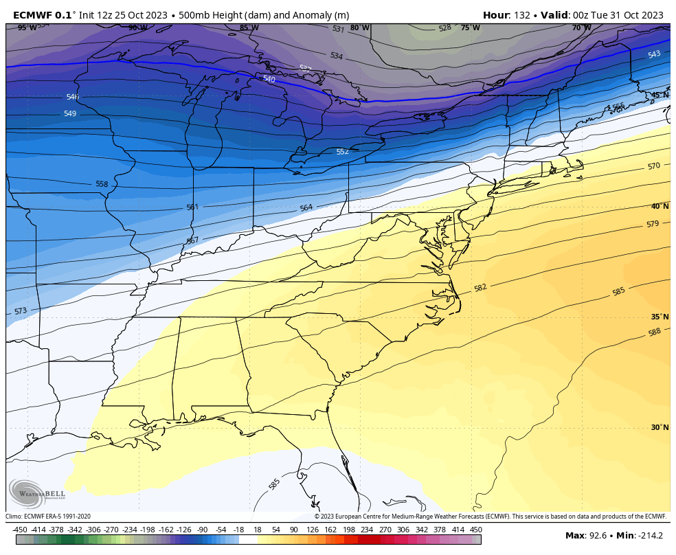
That’s from the EURO and is similar to prior runs and some of the recent runs of the Canadian.
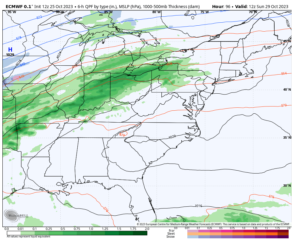
At the surface, the EURO drags a clipper in here behind the initial front. That arrives Halloween night into the first day of November and even brings a rain or snow shower…
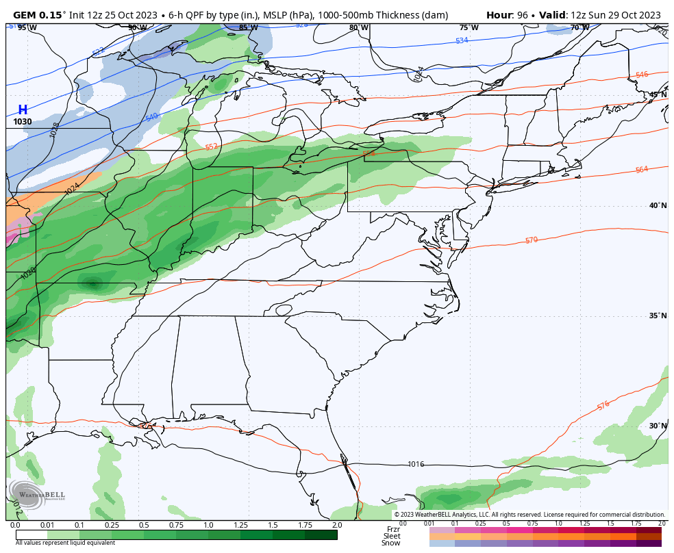
The Canadian has the same upper level system, but is much weaker with surface low to our east. Still, the model squeezes out some November 1st flakes…
Frigid temps are with us to close October and roll into early November. Wind chills reaching the teens will be possible on a couple of mornings. Ouch.
Have a great rest of your Wednesday and take care.

The weather has been splendid so far this week.
I am going to hate to see it go away.