Good evening, folks. Some showers are rolling in tonight and Friday, leading the charge on a much bigger change this weekend and next week. That’s when a wintertime looking setup takes over for a few days.
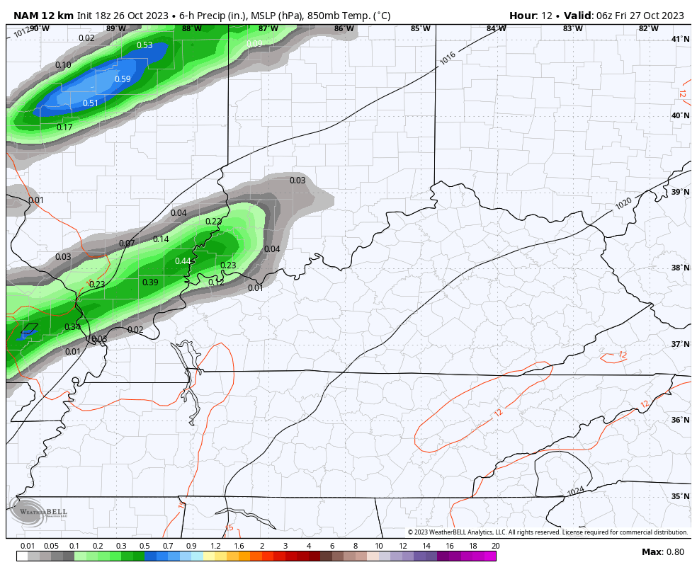
Western Kentucky may see a few of these showers going up this evening as the action streaks in from southwest to northeast. Here are your radars to follow along…

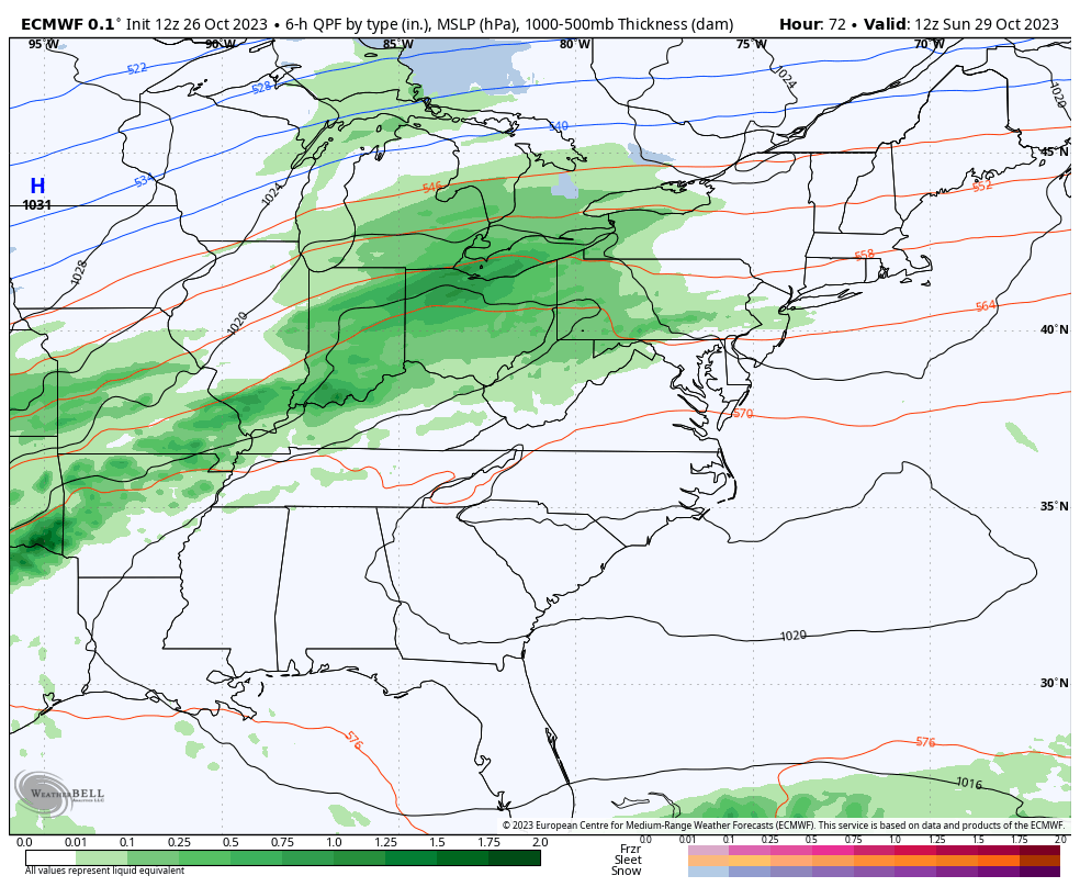
Showers increase from the southwest to northeast Friday into Saturday. This isn’t all day stuff, but the NAM is showing some pretty good totals…
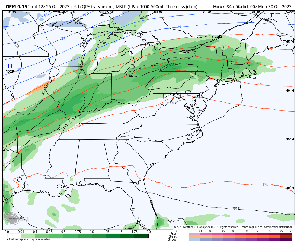
The setup after this continues to feature rain increasing for Sunday into Monday as cold air crashes in. Some pretty good rainfall numbers are likely during this time as the cold takes over. Highs by Monday drop into the 40s.
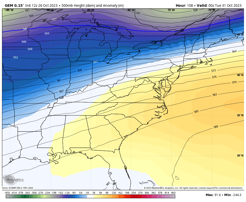
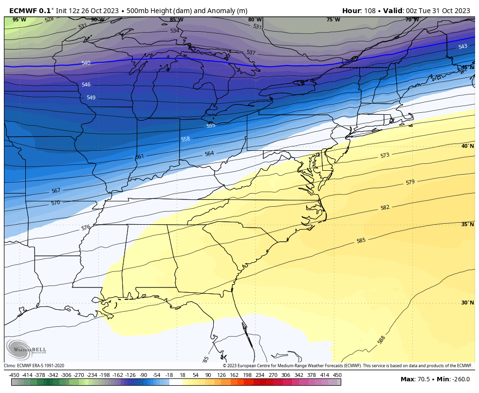
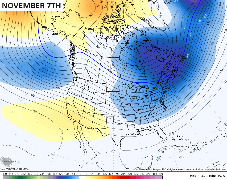
The big upper level system dropping in behind this for Halloween and Wednesday continues to look stout…
CANADIAN
EURO
The Canadian continues to be the model that has the strongest surface reflection with some flakes flying around here Halloween night into Wednesday…
The EURO isn’t too far behind…
The chance for flakes is rather small, but it’s a chance nontheless. Temps are very cold with lows deep into the 20s on multiple days with a wind chill in the teens on a morning or two.
Seasonable chill remains after this but another deep trough is likely just after that into week 2 of the month…
Enjoy the evening and take care.
