Good Tuesday and Happy Halloween! This final day of the month is bringing a small taste of winter weather to the region. This comes with frigid temps and the chance for some of us to see the first flakes of the season.
Here’s a breakdown:
- Temps this morning start deep into the low and middle 20s across western and central Kentucky. Farther east, temps are only 30-35 because of clouds.
- Those clouds in the east may spit out a few sprinkles or flurries early today.
- Temps are in the 40s this afternoon as winds gust up ahead of what amounts to a Halloween version of an arctic front.
- This front slams through here this evening with limited moisture but it can spit out a broken line of rain and snow showers possible. That would likely be a very thin line of it does show up and would be just in time for some trick or treaters.
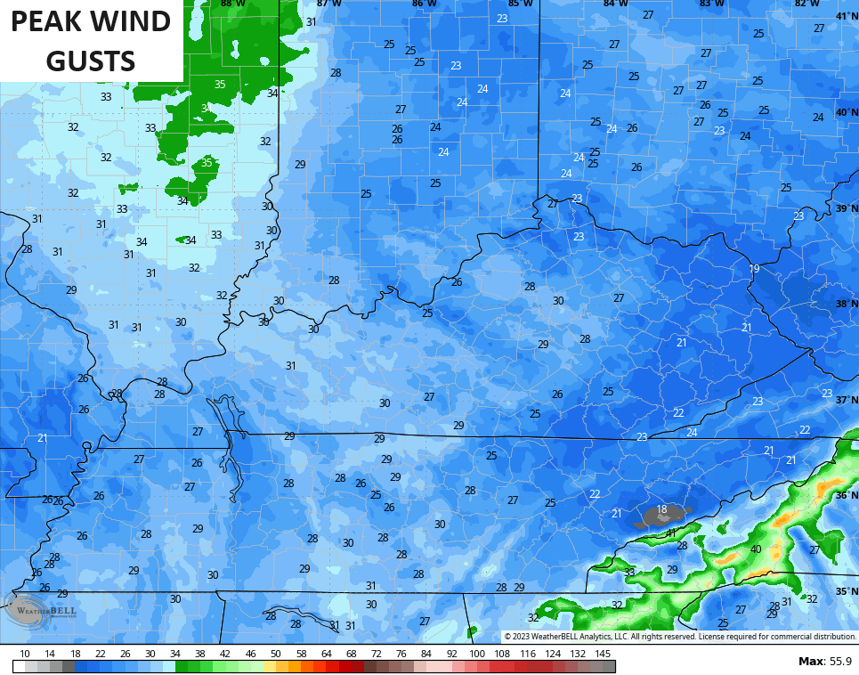
- Winds this evening will gust to 20-30mph at times as temps drop through the 30s and into the upper 20s. Gusty winds will drop those evening wind chills deep into the 20s.
- Northwest winds and low-level moisture may result in some stray flurries across central and eastern Kentucky overnight into Wednesday morning.
- It’s a few flakes, y’all… Nothing more. 😜
- Temps Wednesday morning drop deep into the 20s for those areas with clear skies. Can we sneak into the upper teens? Maybe. Wind chills will be there from time to time.
- Highs on Wednesday are 40-45 with another frigid night to follow.
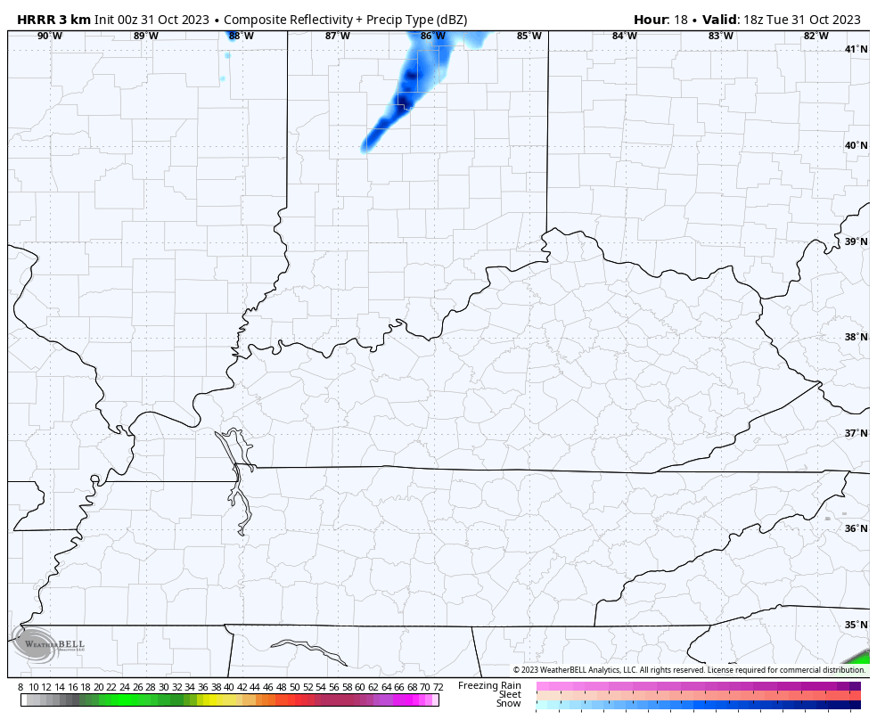
The Future Radar from the HRRR shows this evening’s narrow band of light stuff then the occasional flake to follow overnight…
I mentioned the gusty winds, check out the peak gusts with this front…
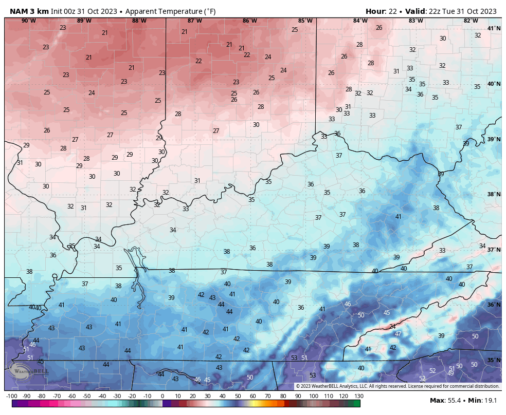
Those wind chills turn downright ugly for this time of year. This animation starts at 6 this evening and goes through tomorrow morning…
Temps rebound to seasonal levels by Friday into the weekend before a weak system brings the threat for a few showers in here on Sunday. The system coming in behind that looks much stronger and may bring some thunder in front of it and flakes behind it…
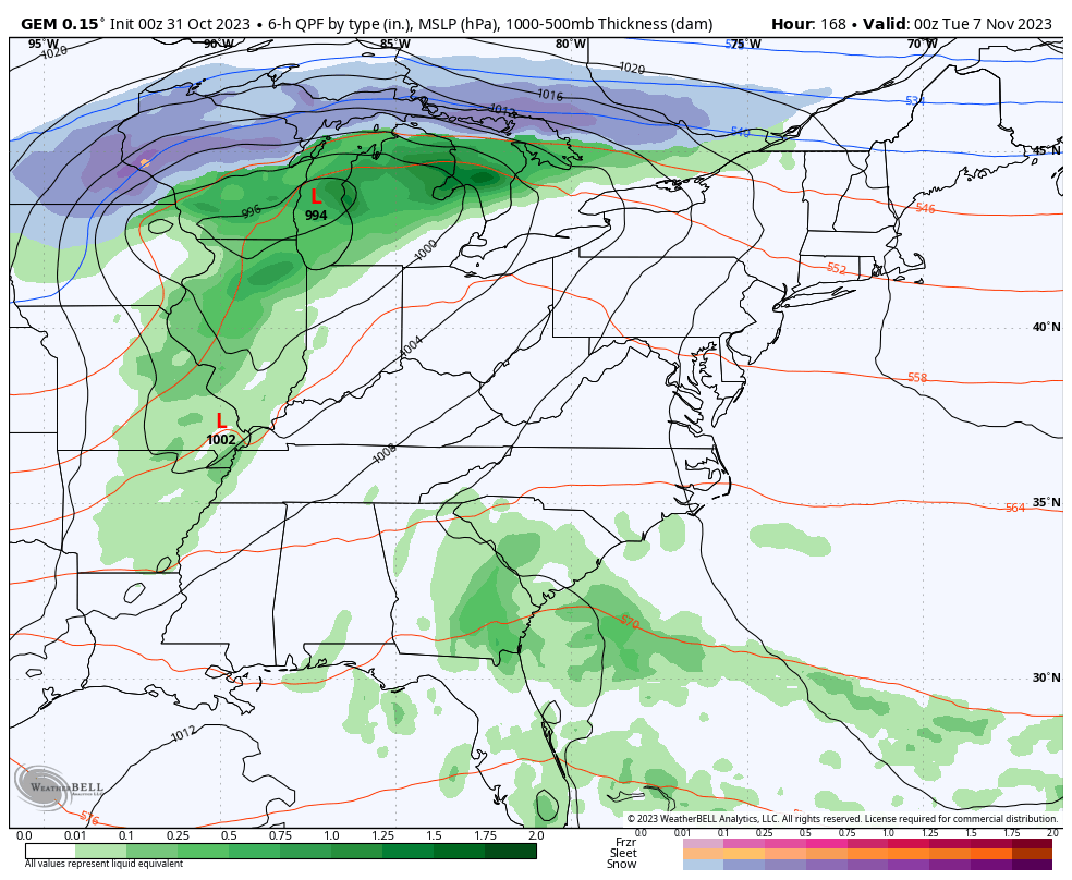
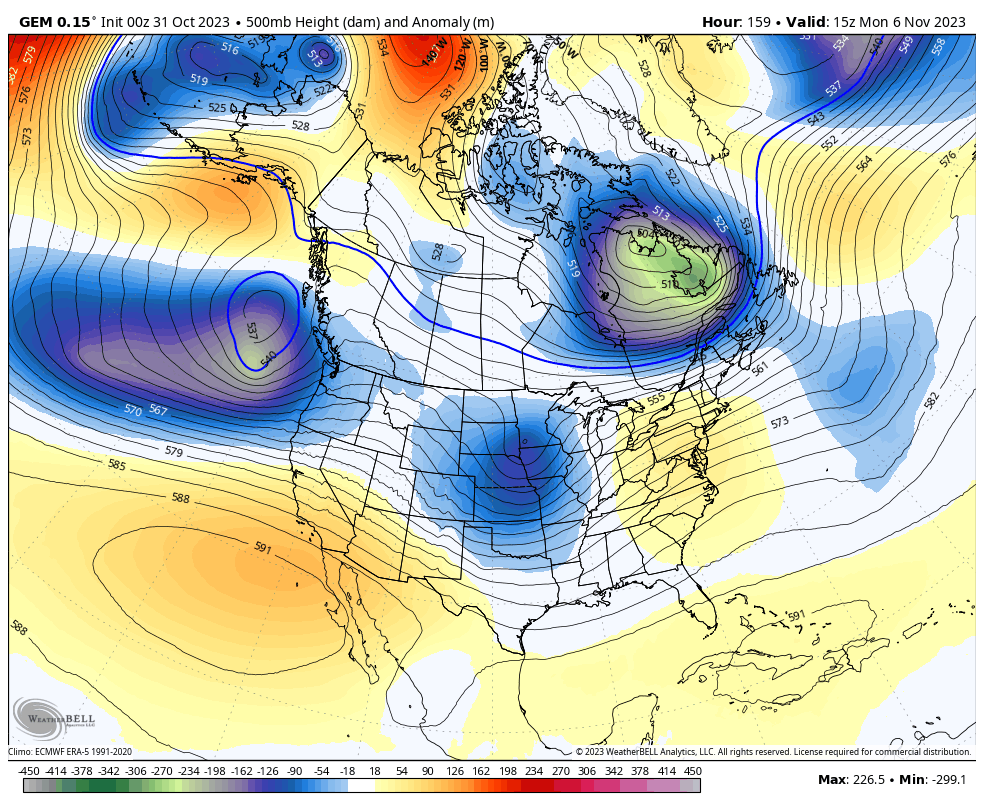
That has a chance to impact the weather for Election Day and is part of a series of big troughs digging into the eastern half of the country. I’ve targeted the second week of November for another series of deep troughs and the models are going in that direction…
I will have another update later today. Until then, here are your radars to follow any razor thin band of rain and snow shower action developing in Indiana…

Have a Happy Halloween and take care!

Thanks Chris. Glad we received the Rains yesterday to wet the Forest around homes. Everyone who lives here in Maple are always afraid of Forest Fires in long dry spells. I just wish we would receive the long lasting heavy Rains from the Gulf of Mexico like we had in past years.
Our first Frost of the season occurred this morning. Can’t wait till it gets light to see how widespread it’s coverage is. Our first Hard Freeze is forecast to occur tomorrow morning. ” Indian Summer ” weather this weekend or sometime thereafter.
This Northwest flow still reminds me of an ENSO / La Nina. El Nino is present, but not reacting with the Atmosphere, or we would be having low pressure systems moving across the Southern Plains with good Rains and Snows later. Of course ” no two El Nino’s are alike. ”
Happy and Safe Halloween Everyone !!!
Sorry again for the duplicate post Chris.
It’s a brutally cold, windy Halloween here in the Chicago area, with temps only in the low to mid 30s and a wind chill in the low 20s, along with occasional snow! We won’t get the three inches of snow we saw on Halloween four years ago, but it has dusted the rooftops and some gra-s-sy areas so far.
The Chicago NWS has just issued a Special Weather Statement which states that heavy bursts of snow are possible between now and 6 PM, which will significantly reduce visibilities for a brief time and accumulate on colder surfaces.
All this just one week after tying an all-time record high for the date of 83 degrees!