Good evening, folks. As expected, record and near record warm temps blasted across Kentucky today with temps around the 80 degree mark on a strong southwest wind. That wind is ahead of a cold front ready to push through here on Thursday.
The front itself is moisture starved but can spit out a few showers along and ahead of it overnight and early Thursday. As a matter of fact, far northern Kentucky may even see a shower before midnight.
Here are your radars to follow along…

Once that moves through early tomorrow, a mix of sun and clouds takes control with temps in the 60s.
A wave of low pressure develops and moves along the front bringing a fast-moving band of showers Thursday night and Friday morning.
The Future Radar from the Hi Res NAM shows this well…
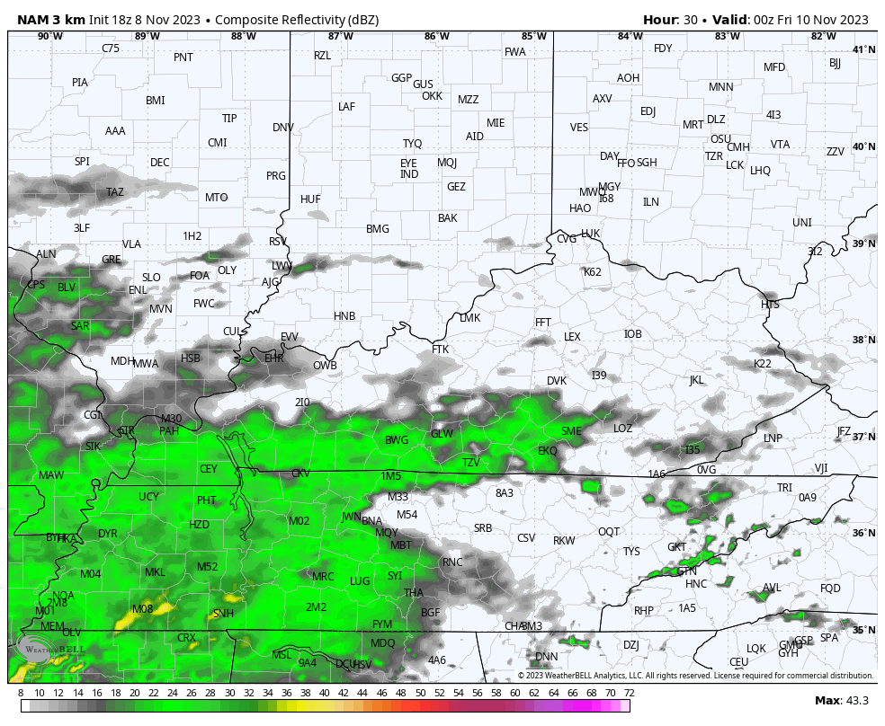
The greatest rain potential continues to be across the southern and eastern parts of the state with much lower chances across northern Kentucky.
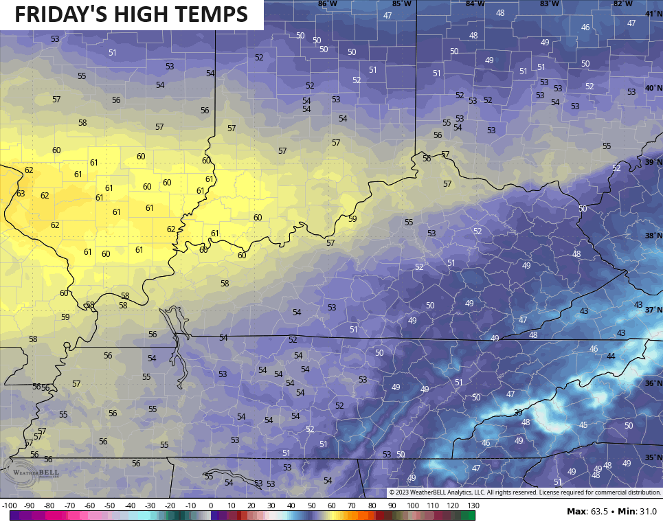
High temps for Friday are pretty chilly for those keeping clouds and showers around. Check out how the east and southeast may not get out of the 40s…
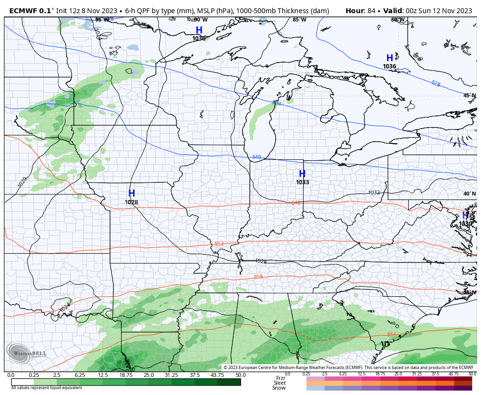
A very seasonal temp pattern then sets up for the weekend with highs mainly in the 50s. There’s still the chance for a shower to impact areas of southern Kentucky on Sunday as a system skirts by to our southeast. The EURO is picking up on what the GFS has shown from time to time…
We will talk longer range with my next update later tonight. Enjoy the evening and take care.
