Good evening, folks. Pleasant temps roll through the middle of the week before a cold front crashes in on Friday. That’s likely the opening act for a big system due in here just before Thanksgiving.
Let’s talk about this first cold front arriving Friday. Gusty showers will be likely as temps fall quickly behind the boundary…
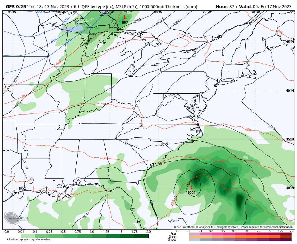
That may very well merge with that system off the east coast to form a bigger storm system in the northeast. Regardless, colder winds blow across Kentucky with weekend highs in the 40s and lows deep into the 20s.
The signals are still strongly showing up for a bigger storm system in the days leading up to Thanksgiving. The exact evolution of this is a work in progress but all models show a healthy storm system.
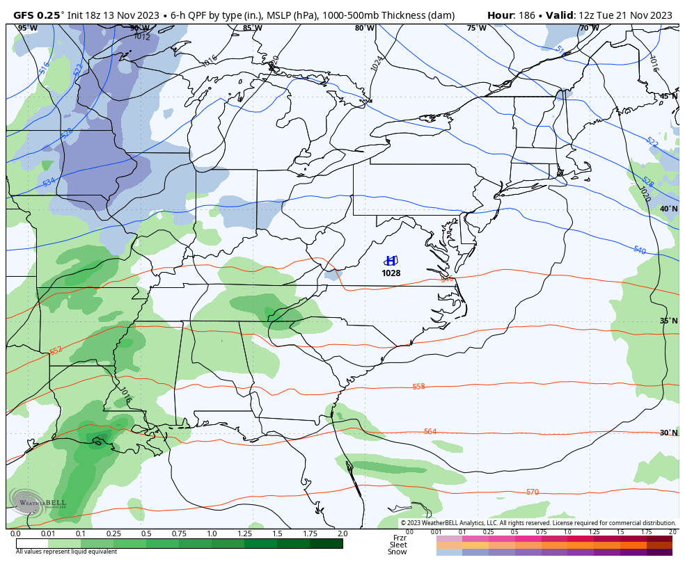
The GFS has the rain, wind, crashing temps and some snow in the Tuesday and Wednesday timeframe…
Frigid temps come in behind that.
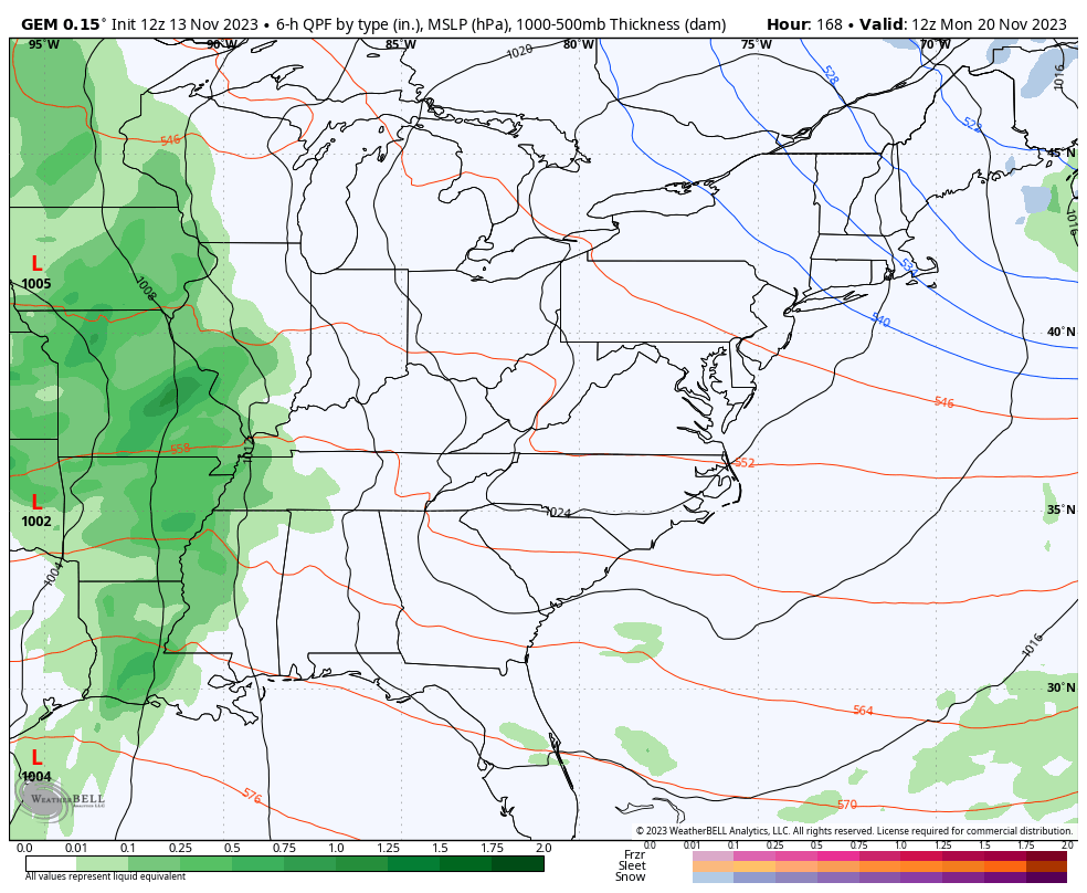
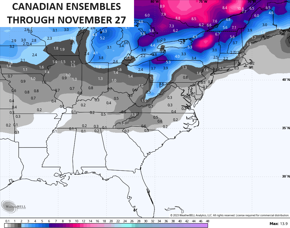
The Canadian is a little more disjointed but arrives at a similar solution…
The temps behind that system are also frigid and WAY colder than normal…

The EURO is holding too much energy back to the southwest and that’s a bias of the model…

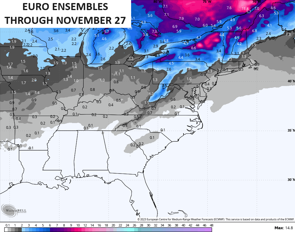
The various Ensembles are on board with the potential for some winter weather Thanksgiving week or weekend…
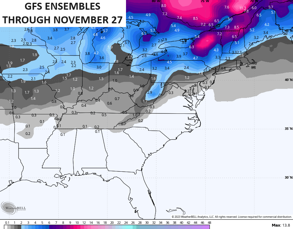
Ya gotta like the look, folks.
Enjoy the evening and take care.

Always nice to see dark purple blue running across the state.. The big question is will it pan out?
I’m pretty hyped about winter this year. Thanks for the update Chris