Good evening, weather weenies. A cold front is rolling toward Kentucky and arrives on Friday with some much-needed gusty showers. This ushers in colder air for the weekend with a big time blast of cold coming for Thanksgiving week.
Clouds are thickening this evening as the front approaches. Showers roll from west to east later tonight and early Friday as the rainfall increases across central and eastern Kentucky. Showers continue in these areas through the evening before tapering off as the front moves through Friday night.
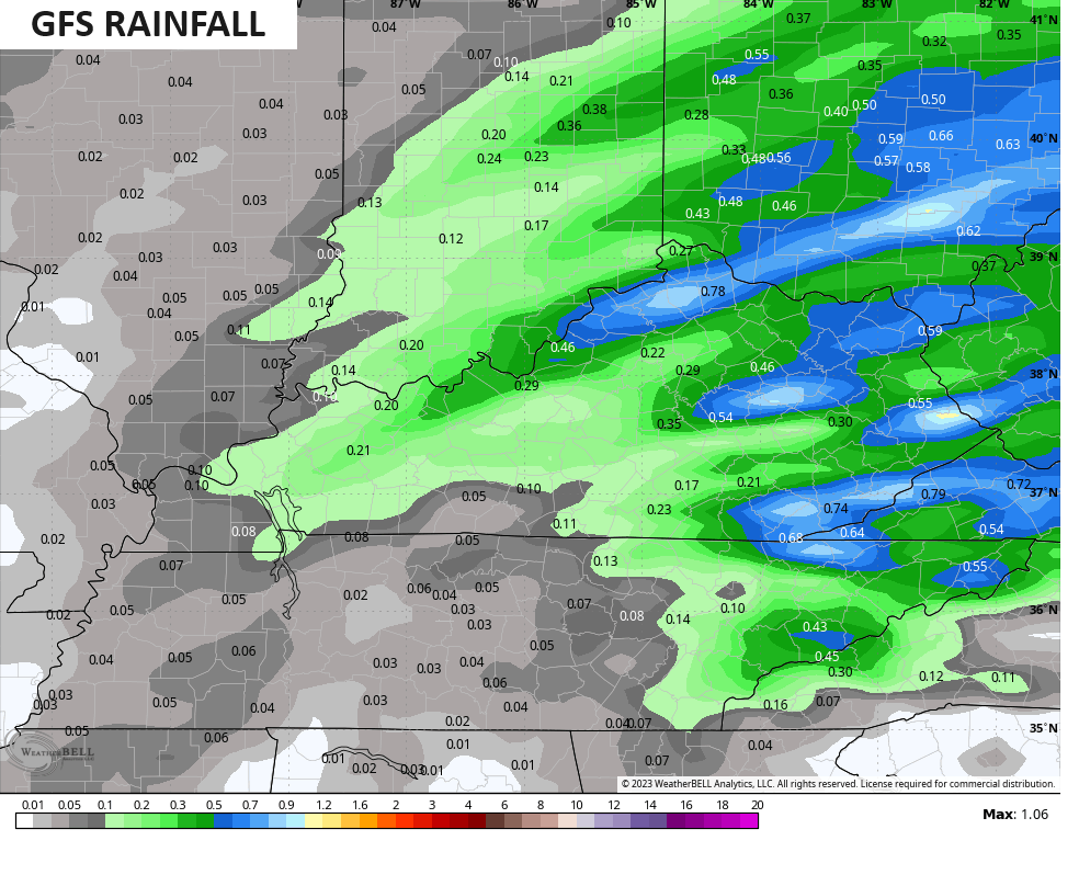
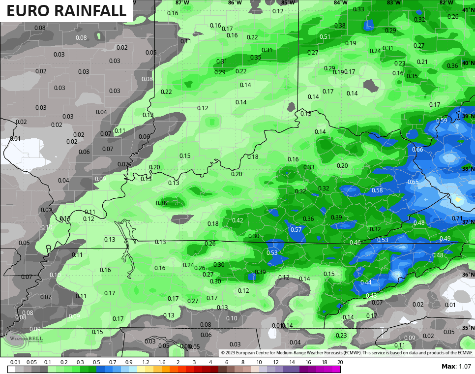
Rainfall totals of .25″-.50″ are a good bet in many areas with the models showing some spots of greater than a half inch…
Here are your radars to follow the showers as they develop to our west this evening…

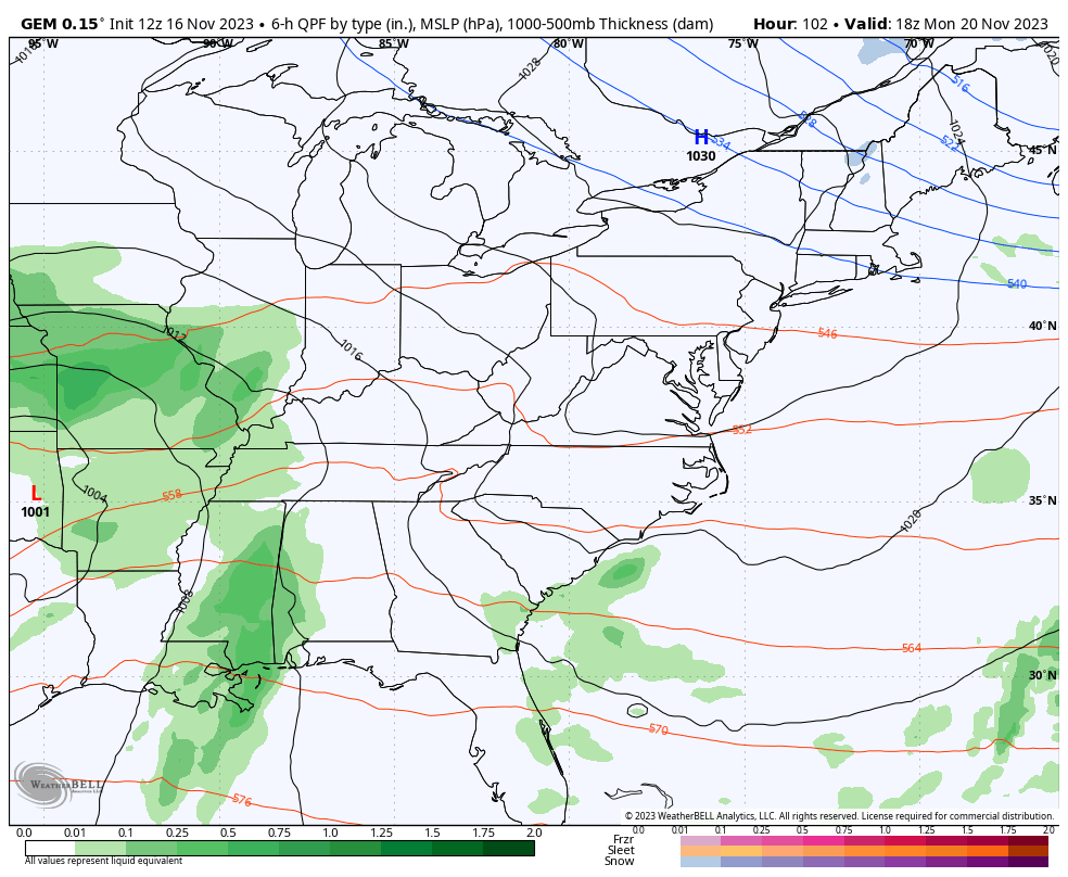
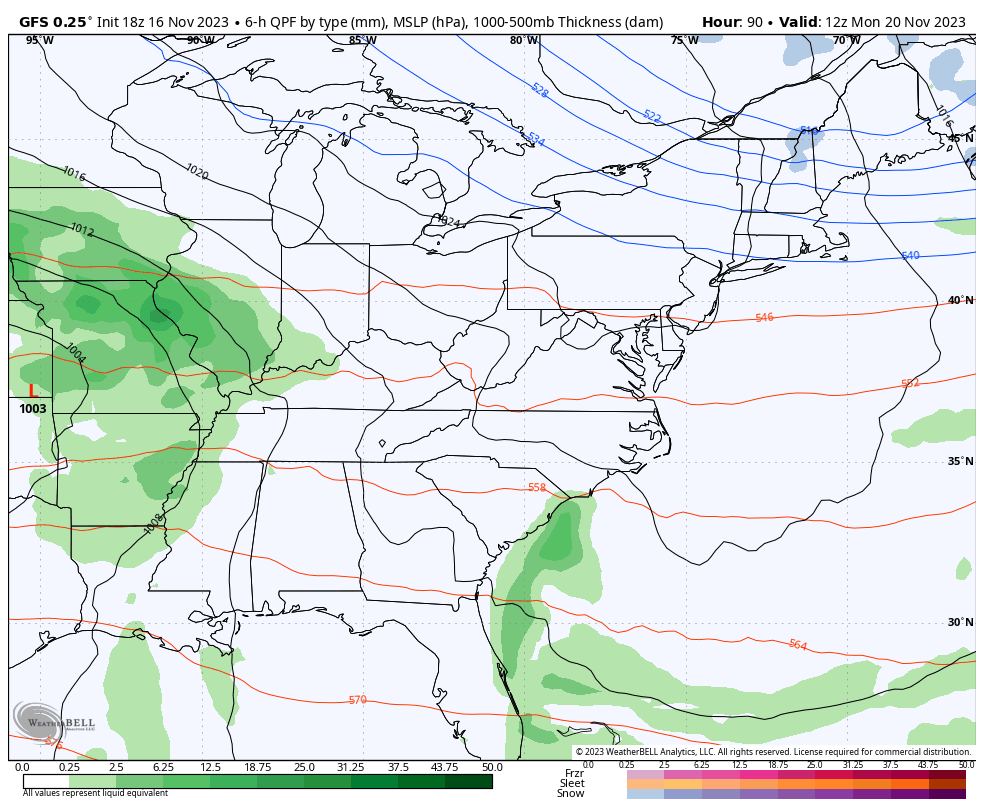
Our big storm system remains on track to impact our weather Monday through Wednesday with absolutely frigid air coming in behind it.
Rain and wind will increase around here Monday and Tuesday with the potential for some wraparound flakes showing up on Wednesday as temps absolutely tank.
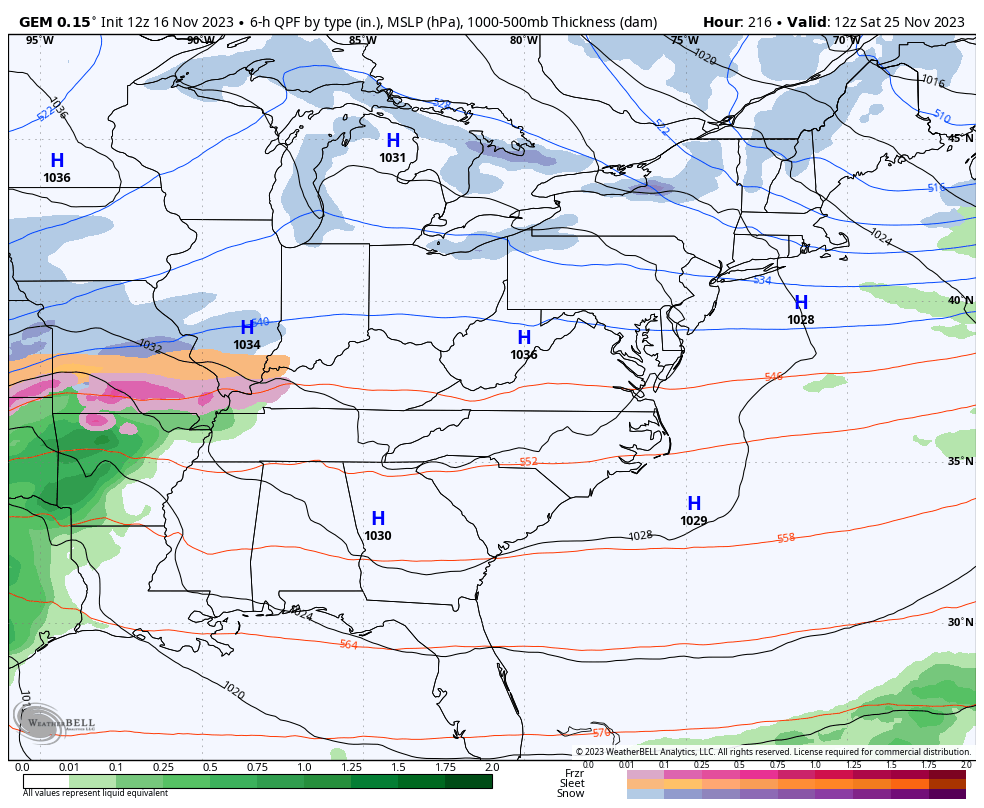
The Canadian continues to be most consistent in showing all this…
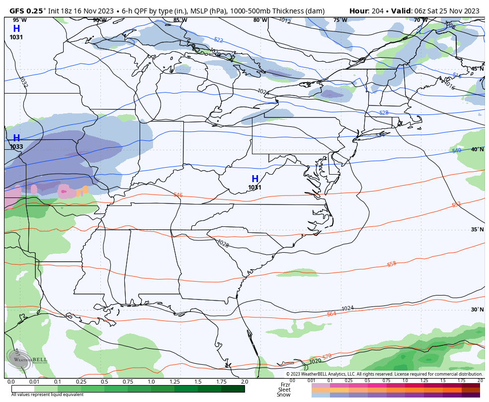
The GFS still bounces around a bit but it’s pretty similar to the Canadian…
The cold coming in behind this is impressive with highs in the low and mid 30s possible for Thanksgiving Day. Lows hit the teens. Wind chills will likely make temps feel much colder.
That cold sticks around through the rest of the holiday weekend as another system approaches with rain, snow or a mix possible…
The GFS sees more than one winter threat…
Canadian
Enjoy the rest of your evening and take care.
