Good evening, everyone. The heavy rain is off to the east of us but low clouds and a few lingering showers remain. These misty showers hang tough into Wednesday as temps turn flat-out chilly. This takes us into a much colder pattern by the upcoming weekend into the closing days of November.
That northwest wind continues to kick in this evening and carries us into Wednesday. That’s a flow that keeps low clouds and some misty showers and drizzle around central and eastern Kentucky.
Here are your radars for the evening…

Low clouds and some misty showers linger into Wednesday with highs generally 40-45 across central and eastern Kentucky. Wind chills will be mainly in the 30s.
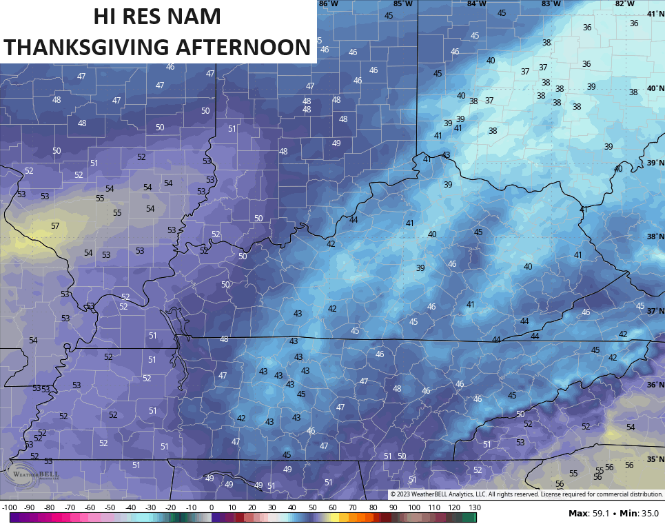
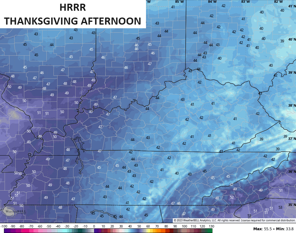
Some of the Hi Resolution models like the NAM and HRRR are keeping those clouds into Thanksgiving Day, but are they right? I’m trying to figure that out. If we have full sunshine we reach the upper 40s and low 50s pretty easily. If the clouds linger, temps are 40-45 again.
Take a look at the Thanksgiving afternoon temps on the NAM and HRRR…
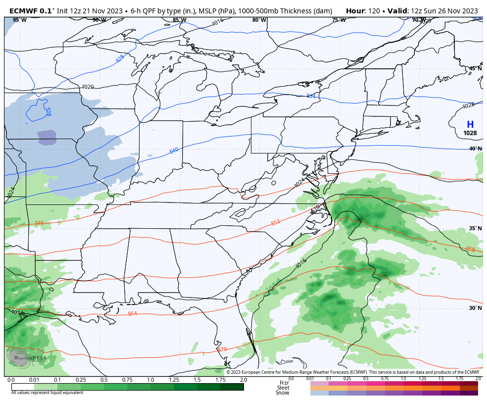
The setup after this brings that next system into the region Sunday and Sunday night with cold air pouring in behind that with another shot a few days later.
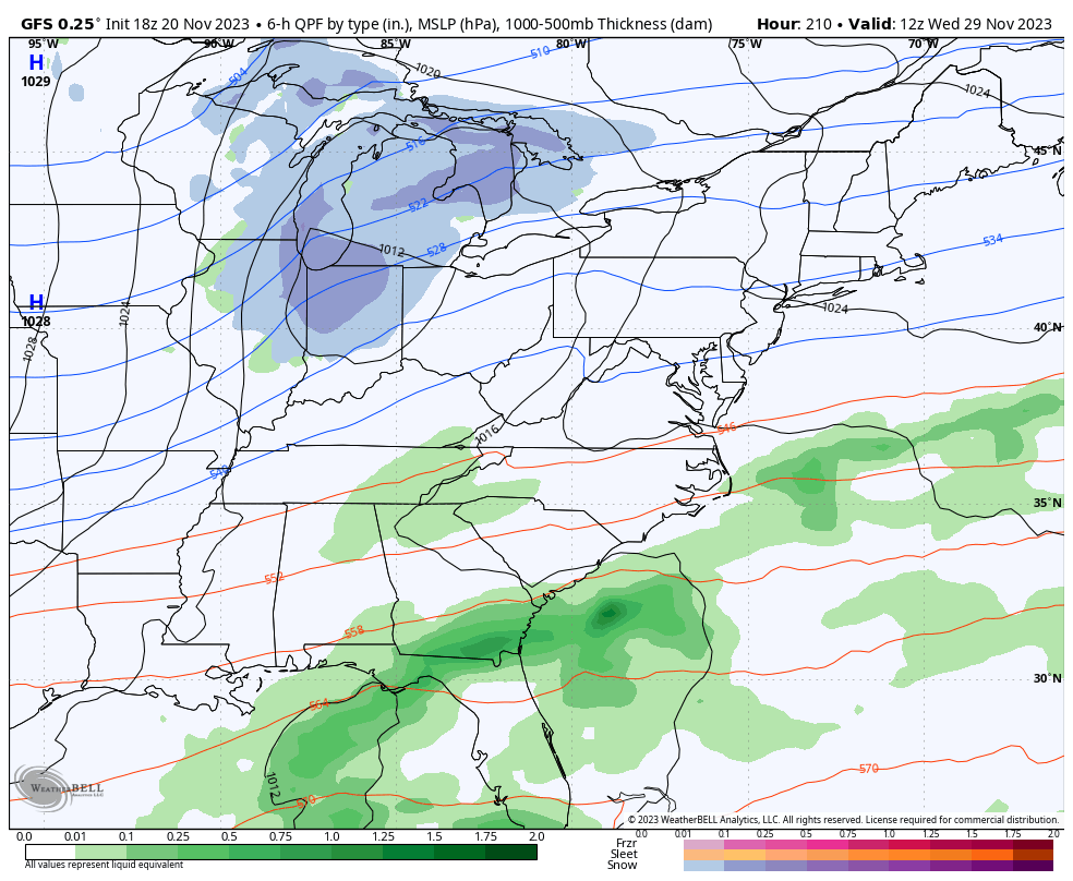
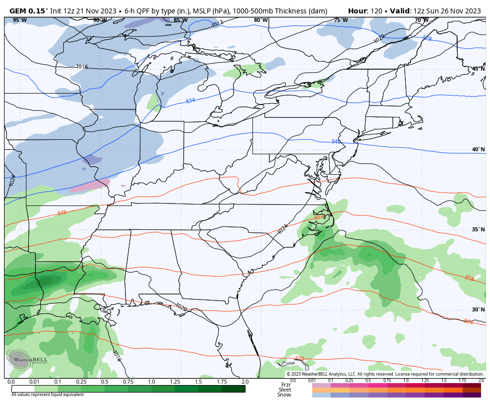
The models are in pretty good agreement on all this, even with the potential for some flakes to fly behind this first system especially…
GFS
CANADIAN
EURO
Coming up tonight is the world famous Planes, Trains and Automobiles post, so you don’t want to miss that. I’ll also talk more about the EURO Weeklies that are growing more confident on the Christmas pattern. ❄️🥶
Enjoy the evening and take care.

I think we ended up with around 1.50 at my house. EXACTLY what we needed to a T
I knew that it was inevitable that we would have this dry pattern after all of the YEARS of above normal precip